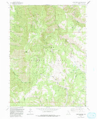
1991 Map of Sharp Mountain
USGS Topo · Published 1991About this map
The La Plata Mine and its namesake La Plata Canyon anchor this high-elevation survey of the Cache National Forest, revealing the industrial footprints left by early mountain prospectors. Located along the boundary between Cache and Weber counties, the landscape is defined by the steep relief of Sharp Mountain and the prominent Porcupine Ridge. This terrain, heavily marked by mining activity and narrow drainage systems, shows a network of primitive 4wd routes that navigate between established points like Mineral Point and the depths of Little Bear River Canyon.
Find a feature on this map
28 named features on this map. Tap any name to fly to it.
Don’t see what you’re looking for? This feature index may not catch every label — zoom into the map to look around manually.
Map Details
Editions of this 1991 Sharp Mountain Map
This is the sole edition of this map. No revisions or reprints were ever made.
Other maps of this area

1914 · Logan
USGS Topo · 1:125,000

1916 · Logan
USGS Topo · 1:125,000

1954 · Ogden
USGS Topo · 1:250,000

1955 · Paradise
USGS Topo · 1:24,000

1955 · Huntsville
USGS Topo · 1:24,000

1955 · James Peak
USGS Topo · 1:24,000

1958 · Ogden
USGS Topo · 1:250,000

1960 · Ogden
USGS Topo · 1:250,000

1964 · Monte Cristo PK
USGS Topo · 1:24,000
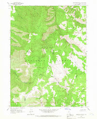
1964 · Sharp Mountain
USGS Topo · 1:24,000