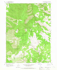
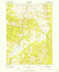
1964 Map of Sharp Mountain
USGS Topo · Published 1966About this map
Sharp Mountain rises at the center of this 1964 survey, defining a landscape of high ridges and deep canyons within the Cache National Forest. The map documents a rugged watershed where the Little Bear River flows through Scare Canyon in the north, while the southern slopes feed the Right Fork Middle Fork Ogden River. Evidence of historical industry is found at the La Plata Mine, situated between Sawmill Canyon and La Plata Canyon. This area, straddling the Cache and Weber County line, is characterized by a dense network of water sources including Mineral Point Spring and Coulee Spring. The topography shows a transition from the Porcupine ridge in the northwest to the branching drainages of Cinnamon Creek and Faucett Creek in the east.
Find a feature on this map
28 named features on this map. Tap any name to fly to it.
Don’t see what you’re looking for? This feature index may not catch every label — zoom into the map to look around manually.
Map Details
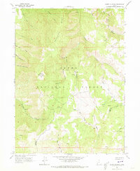
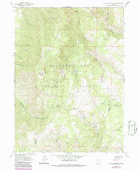
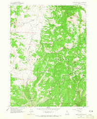
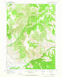
Editions of this 1964 Sharp Mountain Map
3 editions found
Other maps of this area

1914 · Logan
USGS Topo · 1:125,000

1916 · Logan
USGS Topo · 1:125,000

1954 · Ogden
USGS Topo · 1:250,000

1955 · Paradise
USGS Topo · 1:24,000
1955 · Huntsville
USGS Topo · 1:24,000
1955 · James Peak
USGS Topo · 1:24,000

1958 · Ogden
USGS Topo · 1:250,000

1960 · Ogden
USGS Topo · 1:250,000
1964 · Monte Cristo PK
USGS Topo · 1:24,000
1964 · Browns Hole
USGS Topo · 1:24,000