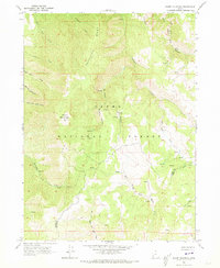
1964 Map of Sharp Mountain
USGS Topo · Published 1973About this map
Sharp Mountain rises over a complex drainage basin within the Cache National Forest along the high-elevation boundary of Cache and Weber counties. The landscape is dominated by the steep dissection of Porcupine Ridge and the headwaters of two major river systems. To the north, the East Fork Little Bear River gathers from Scare Canyon Creek and Cinnamon Creek, while the southern reaches of the map feed the various forks of the Ogden River. A localized history of resource extraction is evident at the La Plata Mine, situated near the head of La Plata Canyon. This area's geography is defined by deep drainages like Sawmill Canyon and Davenport Creek, illustrating the transition from high ridge lines to the tributary valleys that sustain the region's watersheds. The 1964 field check captures this high-country terrain before modern development, preserving the locations of remote mining sites and named springs.
Find a feature on this map
25 named features on this map. Tap any name to fly to it.
Don’t see what you’re looking for? This feature index may not catch every label — zoom into the map to look around manually.
Map Details
Editions of this 1964 Sharp Mountain Map
3 editions found
Other maps of this area

1914 · Logan
USGS Topo · 1:125,000

1916 · Logan
USGS Topo · 1:125,000

1954 · Ogden
USGS Topo · 1:250,000

1955 · Paradise
USGS Topo · 1:24,000

1955 · Huntsville
USGS Topo · 1:24,000

1955 · James Peak
USGS Topo · 1:24,000

1958 · Ogden
USGS Topo · 1:250,000

1960 · Ogden
USGS Topo · 1:250,000

1964 · Monte Cristo PK
USGS Topo · 1:24,000
1964 · Sharp Mountain
USGS Topo · 1:24,000