2000s (21st Century) Maps of Monkton, Vermont
Explore 20 historic maps of Monkton from the 2000s (21st Century). These maps offer a rare glimpse into what life looked like during the 2000s — showing old roads, neighborhoods, homes, and landmarks that have changed or disappeared over time.
Whether you're researching your family's past, planning a metal detecting trip, or studying how Monkton's landscape evolved across the 2000s, these high-resolution maps are a powerful tool for exploring the history of this region.
- Focus on a specific era: All maps on this page are from the 2000s, giving you a focused view of this time period.
- See what’s changed: Compare century-old streets, trails, and buildings to today's modern landscape using overlays and satellite layers.
- Research with precision: Use these maps for genealogy, historical research, land use analysis, or educational projects.
- View, download, or print: Maps are fully viewable online in high resolution, and can be downloaded or printed for your own records.
Start exploring Monkton's history through authentic maps from the 2000s. This is your window into the past.
Monkton, VT maps
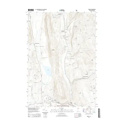
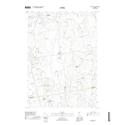
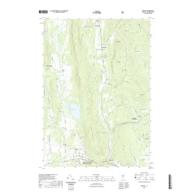
(20)- 2012 Map of Mount Philo, 2012 Print
 2012 Mount Philo2012 Print · USGSCovers Monkton, including Shelburne, Hinesburg, and other nearby areas
 - 2012 Map of Hinesburg, 2012 Print
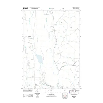
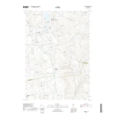
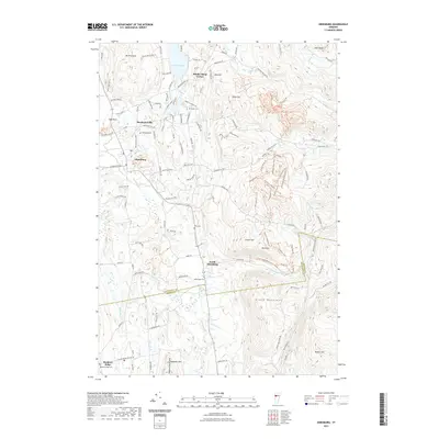
 2012 Hinesburg2012 Print · USGSCovers Monkton, including Williston, Hinesburg, and other nearby areas
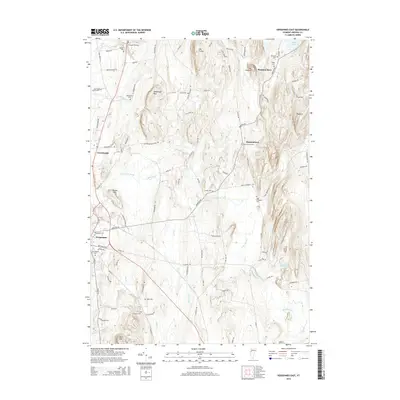
 - 2012 Map of Bristol, 2012 Print
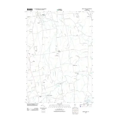
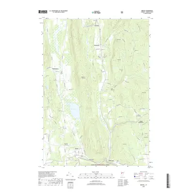
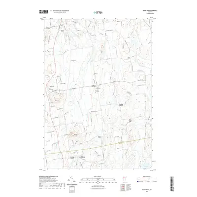
 2012 Bristol2012 Print · USGSCovers Monkton, including Bristol, Starksboro, and other nearby areas
 - 2012 Map of Vergennes East, 2012 Print
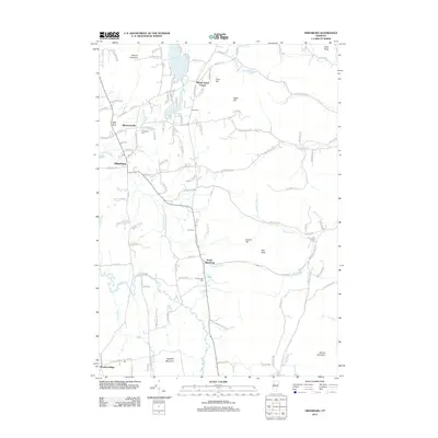
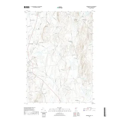
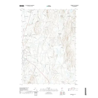
 2012 Vergennes East2012 Print · USGSCovers Monkton, including Ferrisburgh, Vergennes, and other nearby areas
 - 2015 Map of Bristol, 2015 Print
 2015 Bristol2015 Print · USGSCovers Monkton, including Bristol, Starksboro, and other nearby areas
 - 2015 Map of Vergennes East, 2015 Print
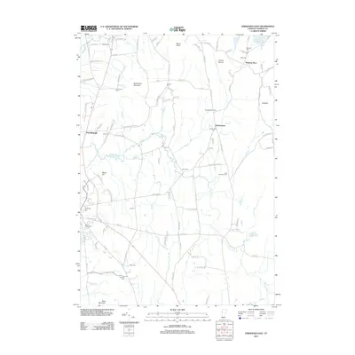
 2015 Vergennes East2015 Print · USGSCovers Monkton, including Ferrisburgh, Vergennes, and other nearby areas
 - 2015 Map of Mount Philo, 2015 Print
 2015 Mount Philo2015 Print · USGSCovers Monkton, including Shelburne, Hinesburg, and other nearby areas
 - 2015 Map of Hinesburg, 2015 Print
 2015 Hinesburg2015 Print · USGSCovers Monkton, including Williston, Hinesburg, and other nearby areas
 - 2018 Map of Bristol, 2018 Print
 2018 Bristol2018 Print · USGSCovers Monkton, including Bristol, Starksboro, and other nearby areas
 - 2018 Map of Hinesburg, 2018 Print
 2018 Hinesburg2018 Print · USGSCovers Monkton, including Williston, Hinesburg, and other nearby areas
 - 2018 Map of Mount Philo, 2018 Print
 2018 Mount Philo2018 Print · USGSCovers Monkton, including Shelburne, Hinesburg, and other nearby areas
 - 2018 Map of Vergennes East, 2018 Print
 2018 Vergennes East2018 Print · USGSCovers Monkton, including Ferrisburgh, Vergennes, and other nearby areas
 - 2021 Map of Bristol, 2021 Print
 2021 Bristol2021 Print · USGSCovers Monkton, including Bristol, Starksboro, and other nearby areas
 - 2021 Map of Mount Philo, 2021 Print
 2021 Mount Philo2021 Print · USGSCovers Monkton, including Shelburne, Hinesburg, and other nearby areas
 - 2021 Map of Vergennes East, 2021 Print
 2021 Vergennes East2021 Print · USGSCovers Monkton, including Ferrisburgh, Vergennes, and other nearby areas
 - 2021 Map of Hinesburg, 2021 Print
 2021 Hinesburg2021 Print · USGSCovers Monkton, including Williston, Hinesburg, and other nearby areas
 - 2024 Map of Mount Philo, 2024 Print
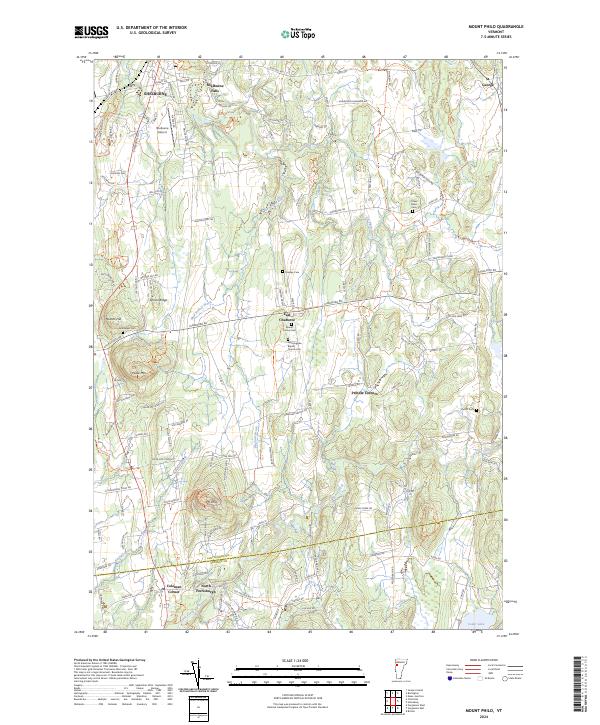 2024 Mount Philo2024 Print · USGSChittenden and Addison counties appear here in their modern rural character, dominated by rolling ridges and river valleys. Researchers can trace family history through sites like Mount Carmel Cem, O'Neil Road Cem, and the crossroads of Prindle Corners.
 - 2024 Map of Bristol, 2024 Print
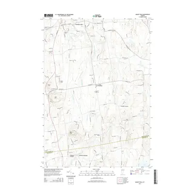
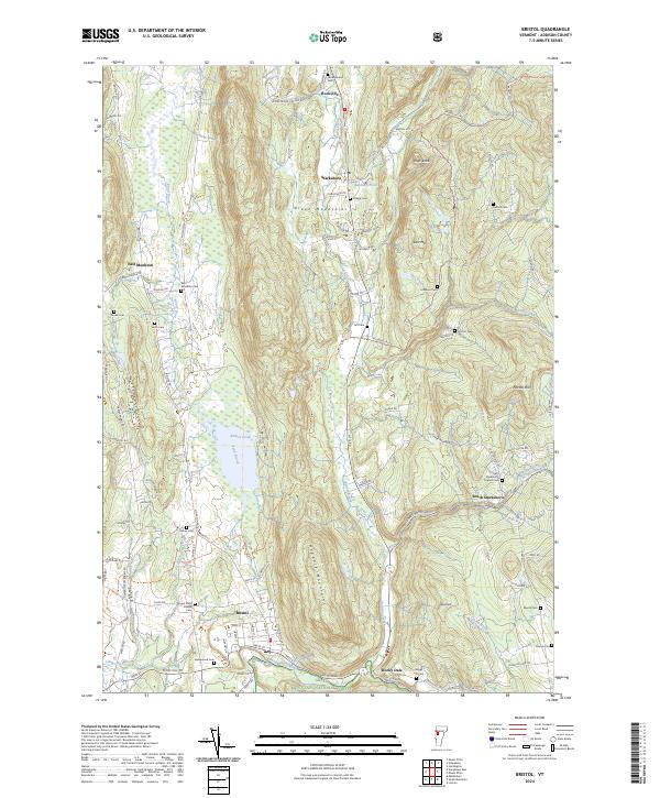 2024 Bristol2024 Print · USGSThe Champlain Valley meets the Green Mountains in this detailed survey of Addison County. Researchers can trace family history through a high density of burial grounds like Greenwood Cem, Taft Cem, and Mount Saint Joseph Cem.
 - 2024 Map of Vergennes East, 2024 Print
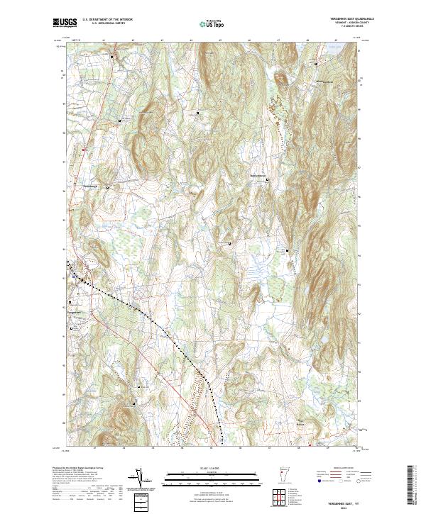 2024 Vergennes East2024 Print · USGSAddison County's rural landscape is captured here in the contemporary era, showing the transition from the ridges of Mt Fuller to the Little Otter Creek valley. Researchers can trace numerous historic burial sites, including the Old Quaker Cem and Abel Thompson Cem, alongside settlements like Monkton Boro.
 - 2024 Map of Hinesburg, 2024 Print
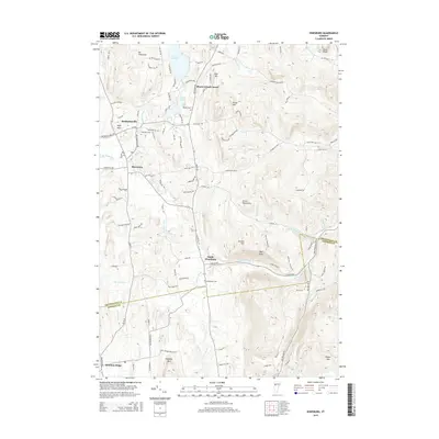
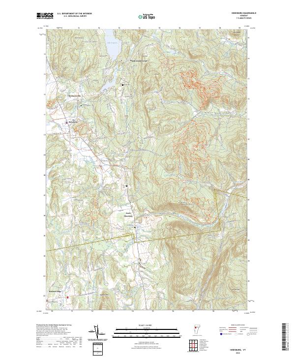 2024 Hinesburg2024 Print · USGSVermont's western foothills and the valley of the La Platte River are captured here in the contemporary era. Genealogists can locate several family burial grounds, such as Barker Cem and Tracy Cem, alongside established villages like Hinesburg and Mechanicsville.
End of results
Showing maps 1-20 of 20
Top cities near Monkton
- Burlington historical maps
- South Burlington historical maps
- Williston historical maps
- Middlebury historical maps
- Shelburne historical maps
- Hinesburg historical maps
See more
Top neighborhoods of Monkton
- Monkton Ridge historical maps
- Barnumtown historical maps
- East Monkton historical maps
- Monkton Boro historical maps
Frequently asked questions
- What are the different types of historical maps available for Monkton?
- What is the oldest map of Monkton?
- Where can I purchase historical maps of Monkton for my home or office?
- Where can I download high-res historical maps of Monkton?
- Are there historical topographic maps available for Monkton?
- Is there historical aerial imagery available for Monkton?
- Where are historical maps of Monkton sourced from?