Old Maps of North Bennington Historic District, North Bennington for Metal Detecting
Plan your next treasure hunt with 18 historic maps of North Bennington Historic District. Find old homesites, ghost towns, trails, and gathering spots that may be lost to time — perfect for identifying promising metal detecting locations.
- Locate forgotten sites: Uncover places like long-lost settlements, abandoned rail lines, or gathering spots.
- Plan better hunts: Use map overlays combined with LiDAR or satellite views to narrow in on historically rich areas.
- Made for detectorists: Thousands of hobbyists use these maps to discover relics, coins, and hidden history.
Use these historic maps to boost your research and find new opportunities beneath the surface of North Bennington Historic District.
North Bennington Historic District, North Bennington maps
(18)- 1898 Map of Bennington
 1898 Bennington1898 Print · USGSVermont's southwestern valleys and industrial corridors are documented here in the late nineteenth century. Genealogists and historians can trace rail lines like the Rutland R R through early settlements including Papermill Village and Shaftsbury Center.10 unique versions available
 - 1900 Map of Taconic
 1900 Taconic1900 Print · USGSThe tri-state border region of the Taconic Mountains thrived at the turn of the century as a hub of rail travel and valley industry. Genealogists and historians can trace the early footprints of Hoosick Falls, Bennington, and the winding path of the Rutland R.R.4 unique versions available
 - 1948 Map of Albany, 1951 Print
 1948 Albany1951 Print · USGSThe Hudson and Connecticut River valleys are captured here in the late 1940s, showing the vital rail and water corridors of the Northeast. You can trace the Boston and Maine tracks past Mt Greylock or locate early settlements like Great Barrington and Bennington.
 - 1954 Map of Bennington, 1956 Print
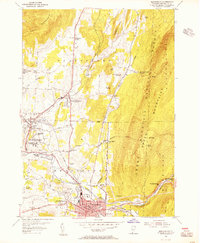 1954 Bennington1956 Print · USGSBennington and its surrounding hollows are captured in the mid-1950s, showing the intersection of historic New England village life and post-war growth. Genealogists and historians can trace family locations near the Battle Monument, Paper Mill Village, or the Harwood Hill Sch.3 unique versions available
 - 1954 Map of Bennington, 1960 Print
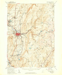 1954 Bennington1960 Print · USGSBennington and its surrounding uplands appear here in the mid-fifties, showing a landscape defined by manufacturing and mountain heritage. Researchers can locate family names at Waite Cem, trace the Long Trail, or explore the rail era at Paper Mill Village.4 unique versions available
 - 1956 Map of Albany, 1968 Print
 1956 Albany1968 Print · USGSThe industrial heart of the Northeast is revealed in the mid-1950s, from the Hudson Valley to the Connecticut River. Researchers can trace the legacy of the Quabbin Reservoir, locate Westover Air Force Base, or follow the Rutland RR through the Green Mountains.2 unique versions available
 - 1957 Map of Albany
 1957 Albany1957 Print · USGSThe Tri-State region and Connecticut River Valley are captured here during a period of significant postwar growth and infrastructure expansion. Genealogists and historians can trace the rail-and-river economy through landmarks like the Boston and Maine railroad, Quabbin Reservoir, and Westover Air Force Base.
 - 1959 Map of Albany
 1959 Albany1959 Print · USGSThe Hudson and Connecticut River valleys are captured here during the late fifties, showing the region's dense rail networks and massive water projects. Researchers can trace the New York State Thruway or locate local landmarks like Mt Greylock and the Quabbin Reservoir.
 - 1962 Map of Albany
 1962 Albany1962 Print · USGSThe Hudson and Connecticut River valleys meet the Green Mountains and Berkshires in this mid-century overview of the Northeast. Genealogists and historians can trace the industrial hearts of Albany and Springfield or locate features like Quabbin Reservoir and Westover Air Force Base.
 - 1986 Map of Albany
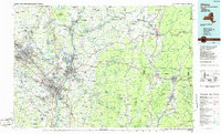 1986 Albany1986 Print · USGSThe Capital District and the tri-state highlands come into focus during the mid-eighties as urban growth meets the edge of the Green Mountains. Researchers can trace historic industrial sites and landmarks like the Watervliet Arsenal, the Bennington Battle Monument, and the grounds of Rensselaer Polytechnic Institute.
 - 1989 Map of Albany
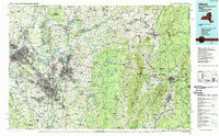 1989 Albany1989 Print · USGSThe tri-state intersection of New York, Vermont, and Massachusetts comes alive in the late 1980s, centered on the historic river confluence of the Capital District. Researchers can trace the extensive rail lines of the D & H RR and explore high peaks like Mount Greylock or the reaches of the Tomhannock Reservoir.2 unique versions available
 - 1997 Map of Bennington, 2000 Print
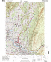 1997 Bennington2000 Print · USGSBennington and its surrounding historic villages are captured here in the late nineties, showing the blend of collegiate life, industrial history, and forest wilderness. Researchers can trace local genealogy and landmarks through the Hinsdillville Cem, the iconic Battle Monument, and the grounds of Bennington College.
 - 2012 Map of Bennington, 2012 Print
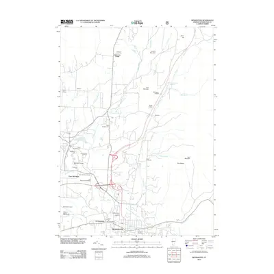 2012 Bennington2012 Print · USGSBennington and its surrounding Vermont hills show a deep layer of industrial and academic history in the early twenty-first century. Genealogists and historians can trace numerous family and church burial grounds, from White Chapel Cem to Niles Cem, while locating landmarks like the Holden-Leonard Mill Complex.
 - 2015 Map of Bennington, 2015 Print
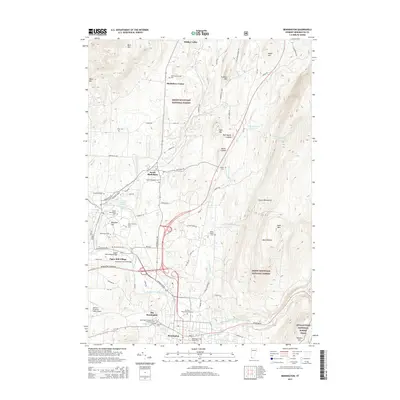 2015 Bennington2015 Print · USGSBennington and the surrounding Green Mountains are captured here in the mid-2010s, showcasing a landscape of historic river villages and mountain trails. Researchers can locate numerous burial grounds like the Hinsdellville Cem and trace local landmarks such as the Silk Road Covered Bridge.
 - 2018 Map of Bennington, 2018 Print
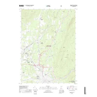 2018 Bennington2018 Print · USGSBennington and the Green Mountains come into sharp focus in the late 2010s, showing a landscape shaped by the Walloomsac River and early industrial heritage. Researchers can trace historic landmarks like the Paper Mill Village Bridge, Old Bennington, and the Bennington Center - Old First Church Cem.
 - 2021 Map of Bennington, 2021 Print
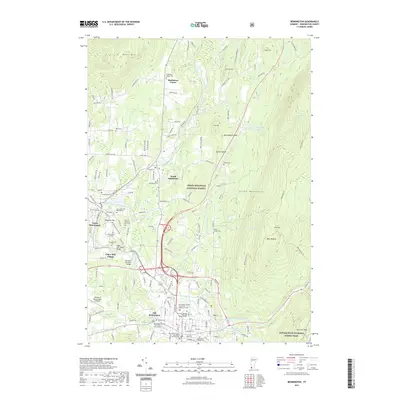 2021 Bennington2021 Print · USGSBennington and the Green Mountain foothills are shown in detail during the early twenty-first century. Genealogists and historians can locate numerous burial grounds and historic crossings, from the Bennington Village Cem to the Silk Road Covered Bridge.
 - 2023 Map of Bennington, 2023 Print
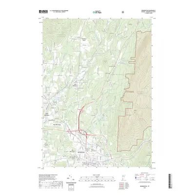 2023 Bennington2023 Print · USGSBennington and the Green Mountains come to life in this contemporary survey of the Vermont valley floor and its surrounding peaks. Researchers can trace historic cemeteries and local settlements like Paper Mill Village, Old Bennington, and the grounds of Bennington College.
 - 2024 Map of Bennington, 2024 Print
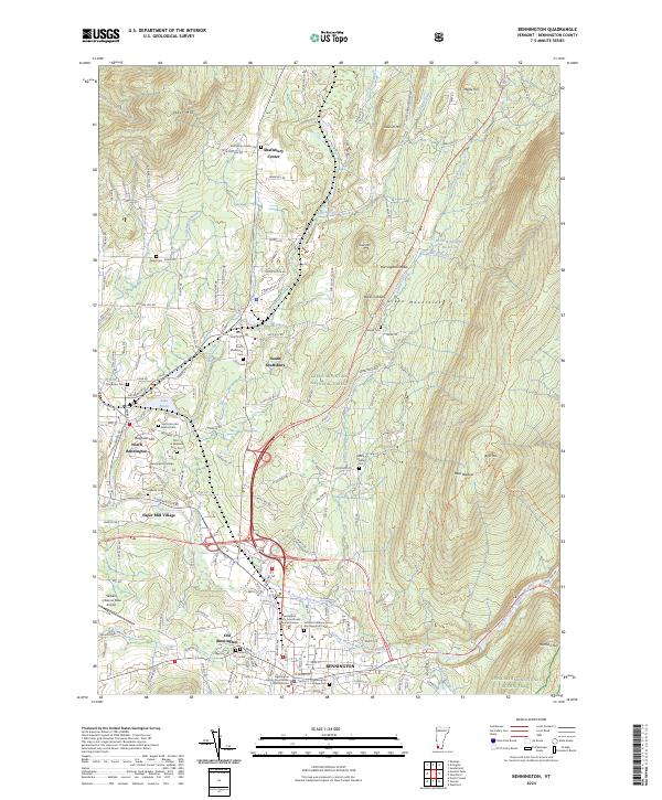 2024 Bennington2024 Print · USGSBennington and the Green Mountains come into sharp focus in this detailed survey of southwestern Vermont. Researchers can trace ancestral lines through numerous burial grounds like the Rice A Winslow Farm Cemetery or explore the historic rail lines of the Vermont Railway near South Shaftsbury.
End of results
Showing maps 1-18 of 18
Frequently asked questions
- What are the different types of historical maps available for North Bennington Historic District?
- What is the oldest map of North Bennington Historic District?
- Where can I purchase historical maps of North Bennington Historic District for my home or office?
- Where can I download high-res historical maps of North Bennington Historic District?
- Are there historical topographic maps available for North Bennington Historic District?
- Is there historical aerial imagery available for North Bennington Historic District?
- Where are historical maps of North Bennington Historic District sourced from?