2000s (21st Century) Maps of Dorset, Vermont
Explore 25 historic maps of Dorset from the 2000s (21st Century). These maps offer a rare glimpse into what life looked like during the 2000s — showing old roads, neighborhoods, homes, and landmarks that have changed or disappeared over time.
Whether you're researching your family's past, planning a metal detecting trip, or studying how Dorset's landscape evolved across the 2000s, these high-resolution maps are a powerful tool for exploring the history of this region.
- Focus on a specific era: All maps on this page are from the 2000s, giving you a focused view of this time period.
- See what’s changed: Compare century-old streets, trails, and buildings to today's modern landscape using overlays and satellite layers.
- Research with precision: Use these maps for genealogy, historical research, land use analysis, or educational projects.
- View, download, or print: Maps are fully viewable online in high resolution, and can be downloaded or printed for your own records.
Start exploring Dorset's history through authentic maps from the 2000s. This is your window into the past.
Dorset, VT maps
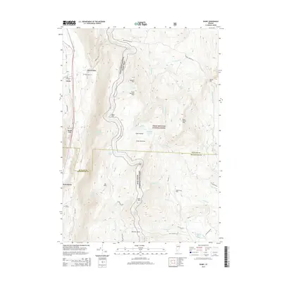
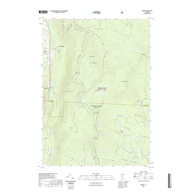
(25)- 2012 Map of Danby, 2012 Print
 2012 Danby2012 Print · USGSCovers Dorset, including Danby, Danby, and other nearby areas
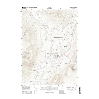
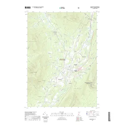
 - 2012 Map of Manchester, 2012 Print
 2012 Manchester2012 Print · USGSCovers Dorset, including Manchester, Manchester Center, and other nearby areas
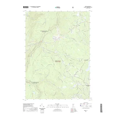
 - 2012 Map of Dorset, 2012 Print
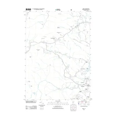
 2012 Dorset2012 Print · USGSCovers Dorset, including Pawlet, Danby, and other nearby areas
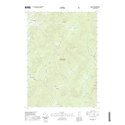
 - 2012 Map of West Rupert, 2012 Print
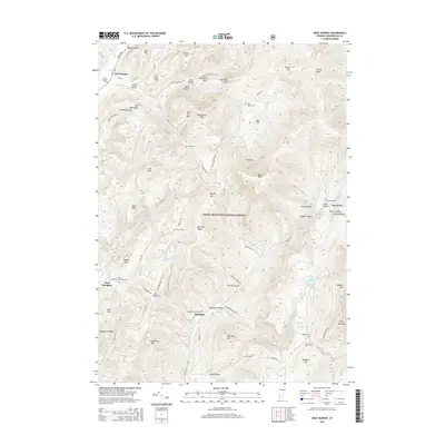
 2012 West Rupert2012 Print · USGSCovers Dorset, including Manchester, West Rupert, and other nearby areas
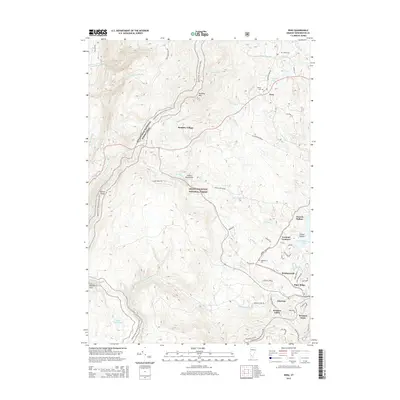
 - 2012 Map of Peru, 2012 Print
 2012 Peru2012 Print · USGSCovers Dorset, including Peru, Stratton Valley, and other nearby areas
 - 2015 Map of Manchester, 2015 Print
 2015 Manchester2015 Print · USGSCovers Dorset, including Manchester, Manchester Center, and other nearby areas
 - 2015 Map of Peru, 2015 Print
 2015 Peru2015 Print · USGSCovers Dorset, including Peru, Stratton Valley, and other nearby areas
 - 2015 Map of Danby, 2015 Print
 2015 Danby2015 Print · USGSCovers Dorset, including Danby, Danby, and other nearby areas
 - 2015 Map of West Rupert, 2015 Print
 2015 West Rupert2015 Print · USGSCovers Dorset, including Manchester, West Rupert, and other nearby areas
 - 2015 Map of Dorset, 2015 Print
 2015 Dorset2015 Print · USGSCovers Dorset, including Pawlet, Danby, and other nearby areas
 - 2018 Map of West Rupert, 2018 Print
 2018 West Rupert2018 Print · USGSCovers Dorset, including Manchester, West Rupert, and other nearby areas
 - 2018 Map of Dorset, 2018 Print
 2018 Dorset2018 Print · USGSCovers Dorset, including Pawlet, Danby, and other nearby areas
 - 2018 Map of Manchester, 2018 Print
 2018 Manchester2018 Print · USGSCovers Dorset, including Manchester, Manchester Center, and other nearby areas
 - 2018 Map of Danby, 2018 Print
 2018 Danby2018 Print · USGSCovers Dorset, including Danby, Danby, and other nearby areas
 - 2018 Map of Peru, 2018 Print
 2018 Peru2018 Print · USGSCovers Dorset, including Peru, Stratton Valley, and other nearby areas
 - 2021 Map of Dorset, 2021 Print
 2021 Dorset2021 Print · USGSCovers Dorset, including Pawlet, Danby, and other nearby areas
 - 2021 Map of Danby, 2021 Print
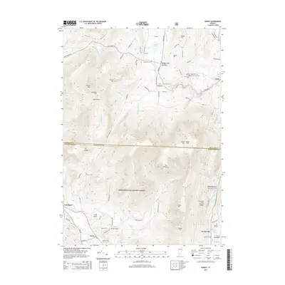
 2021 Danby2021 Print · USGSCovers Dorset, including Danby, Danby, and other nearby areas
 - 2021 Map of Manchester, 2021 Print
 2021 Manchester2021 Print · USGSCovers Dorset, including Manchester, Manchester Center, and other nearby areas
 - 2021 Map of Peru, 2021 Print
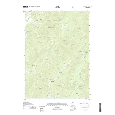
 2021 Peru2021 Print · USGSCovers Dorset, including Peru, Stratton Valley, and other nearby areas
 - 2021 Map of West Rupert, 2021 Print
 2021 West Rupert2021 Print · USGSCovers Dorset, including Manchester, West Rupert, and other nearby areas
 - 2024 Map of Danby, 2024 Print
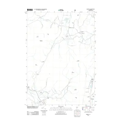
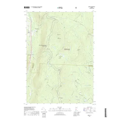
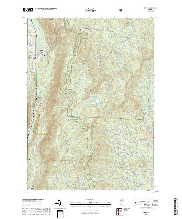 2024 Danby2024 Print · USGSThe Green Mountain valley corridor around Danby and Mount Tabor comes into focus in this contemporary survey of the Vermont highlands. Researchers can trace ancestral sites at Tabor Cem or explore the remote highlands around Griffith Lake and the Big Branch Wilderness.
 - 2024 Map of Manchester, 2024 Print
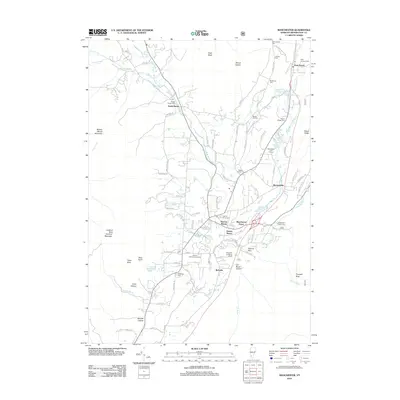
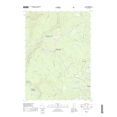
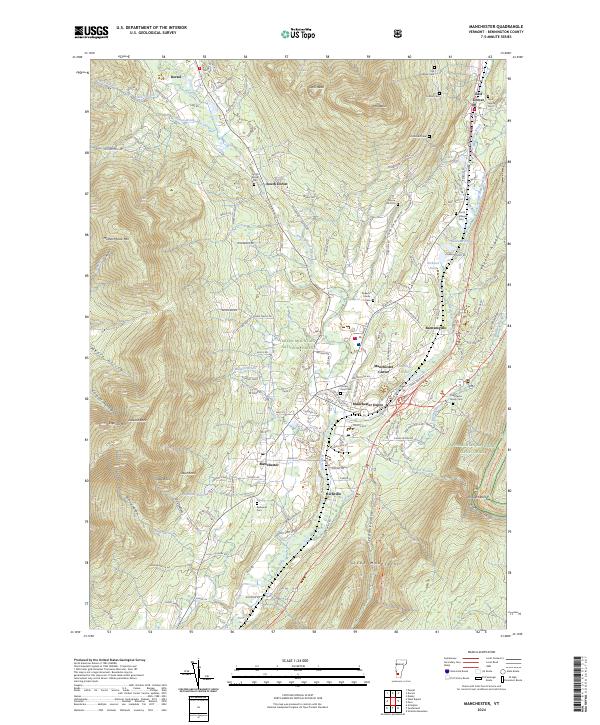 2024 Manchester2024 Print · USGSThe Manchester valley in the early twenty-first century is a landscape of established mountain villages and protected wilderness areas. Genealogists and historians can trace family plots at Dellwood Cem or explore the settlement patterns at Manchester Depot and Barnumville.
 - 2024 Map of Peru, 2024 Print
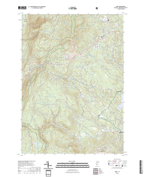 2024 Peru2024 Print · USGSThe Green Mountains in the early twenty-first century are presented here through a mix of protected wilderness and high-country settlements. Researchers can trace historic cemeteries like Middletown Cem, follow the Appalachian National Scenic Trail, or locate the quiet hamlet of French Hollow.
 - 2024 Map of West Rupert, 2024 Print
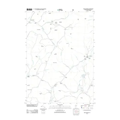
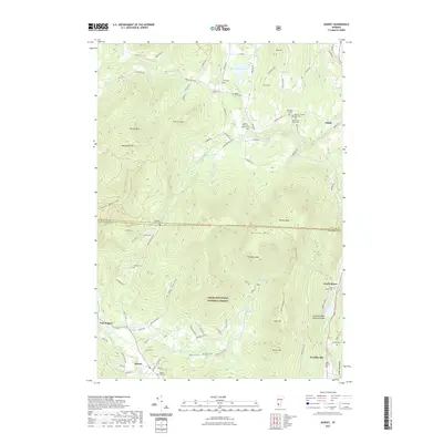
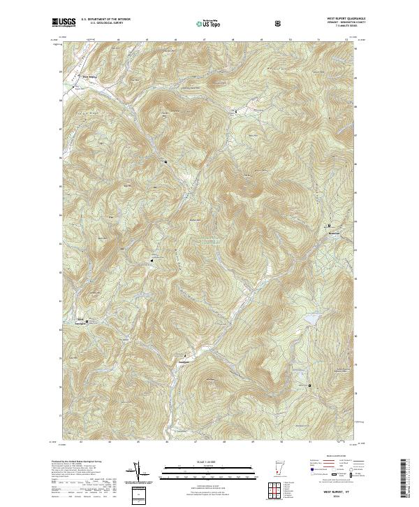 2024 West Rupert2024 Print · USGSBennington County’s mountain terrain is documented here in the early twenty-first century, showing the enduring boundaries of the Green Mountain National Forest. Researchers can trace early family legacies at the Sherman Homestead Cem or follow the historic rail corridor at West Rupert.
 - 2024 Map of Dorset, 2024 Print
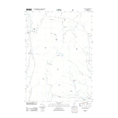
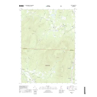
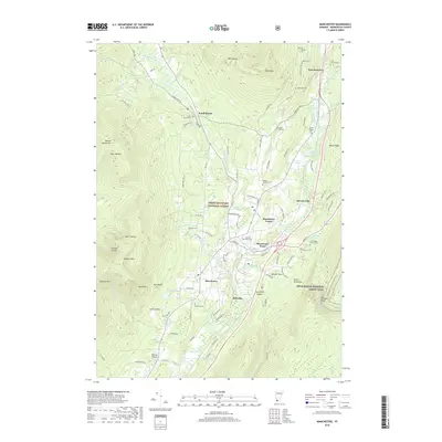
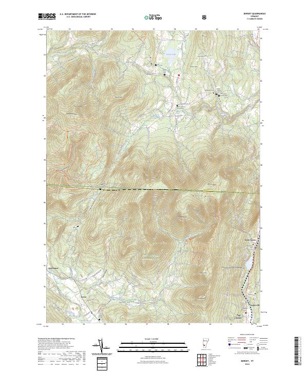 2024 Dorset2024 Print · USGSDorset and the surrounding Vermont hollows appear here in recent detail, showing a landscape shaped by high peaks and deep family roots. Genealogists can trace early homesteads through the Old Four Corners Cem, Dillingham Cem, and Maple Hill Cem.
End of results
Showing maps 1-25 of 25
Top cities near Dorset
- Granville historical maps
- Manchester historical maps
- White Creek historical maps
- Poultney historical maps
- Salem historical maps
- Clarendon historical maps
See more
Top neighborhoods of Dorset
- South Dorset historical maps
- Freedleyville historical maps
- North Dorset historical maps
- East Dorset historical maps
- Kent Neighborhood Historic District historical maps
Frequently asked questions
- What are the different types of historical maps available for Dorset?
- What is the oldest map of Dorset?
- Where can I purchase historical maps of Dorset for my home or office?
- Where can I download high-res historical maps of Dorset?
- Are there historical topographic maps available for Dorset?
- Is there historical aerial imagery available for Dorset?
- Where are historical maps of Dorset sourced from?