2020s Maps of Lyndon, Vermont
Explore 8 historic maps of Lyndon from the 2020s. These maps offer a rare glimpse into what life looked like during the 2020s — showing old roads, neighborhoods, homes, and landmarks that have changed or disappeared over time.
Whether you're researching your family's past, planning a metal detecting trip, or studying how Lyndon's landscape evolved across the 2020s, these high-resolution maps are a powerful tool for exploring the history of this region.
- Focus on a specific era: All maps on this page are from the 2020s, giving you a focused view of this time period.
- See what’s changed: Compare century-old streets, trails, and buildings to today's modern landscape using overlays and satellite layers.
- Research with precision: Use these maps for genealogy, historical research, land use analysis, or educational projects.
- View, download, or print: Maps are fully viewable online in high resolution, and can be downloaded or printed for your own records.
Start exploring Lyndon's history through authentic maps from the 2020s. This is your window into the past.
Lyndon, VT maps
(8)- 2021 Map of Concord, 2021 Print
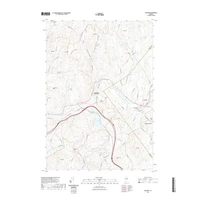 2021 Concord2021 Print · USGSCovers Lyndon, including Saint Johnsbury, Concord, and other nearby areas
 - 2021 Map of Burke Mountain, 2021 Print
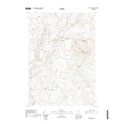 2021 Burke Mountain2021 Print · USGSCovers Lyndon, including Sutton, Burke, and other nearby areas
 - 2021 Map of Lyndonville, 2021 Print
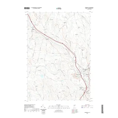 2021 Lyndonville2021 Print · USGSCovers Lyndon, including Saint Johnsbury, Danville, and other nearby areas
 - 2021 Map of Saint Johnsbury, 2021 Print
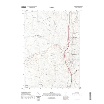 2021 Saint Johnsbury2021 Print · USGSCovers Lyndon, including Saint Johnsbury, Danville, and other nearby areas
 - 2024 Map of Saint Johnsbury, 2024 Print
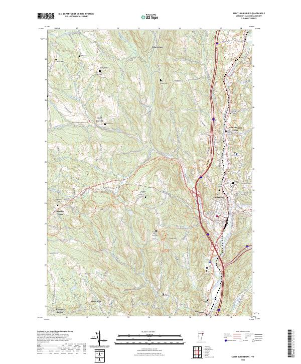 2024 Saint Johnsbury2024 Print · USGSCaledonia County comes into sharp focus during the 2020s, showing the enduring settlement patterns of this Vermont river valley. Researchers can trace family history through numerous burial grounds like Massey Cem and locate historic hubs such as Morses Mills or the Caledonia County Courthouse.
 - 2024 Map of Burke Mountain, 2024 Print
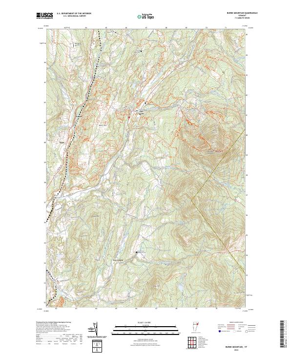 2024 Burke Mountain2024 Print · USGSCaledonia County's high-country terrain is captured here in the contemporary era, centered on the prominent summit of West Peak Burke Mountain. Genealogists and historians can trace local family lineages through sites like Howland Cem, Woodmont Cem, and the small settlement of East Burke.
 - 2024 Map of Lyndonville, 2024 Print
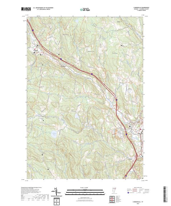 2024 Lyndonville2024 Print · USGSThe northern reaches of Caledonia County come into focus during this modern era, centered on the Passumpsic River and the village of Lyndonville. Researchers can trace old family burial sites like Baptist Hill Cem and Shattuck-Ward Cem alongside landmarks such as Lyndon State College.
 - 2024 Map of Concord, 2024 Print
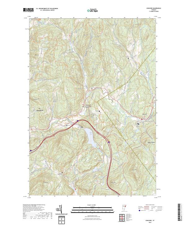 2024 Concord2024 Print · USGSCaledonia and Essex counties meet in this contemporary look at Vermont's rural landscape, where the Moose River connects historic villages. Genealogists can trace family heritage through numerous burial sites like Stiles Cem and Cushman Cem.
End of results
Showing maps 1-8 of 8
Top cities near Lyndon
- Saint Johnsbury historical maps
- Littleton historical maps
- Barton historical maps
- Danville historical maps
- Cabot historical maps
- Lunenburg historical maps
See more
Top neighborhoods of Lyndon
- Egypt historical maps
- Folsom historical maps
- Lyndon Center historical maps
- East Lyndon historical maps
- Lyndonville historical maps
Frequently asked questions
- What are the different types of historical maps available for Lyndon?
- What is the oldest map of Lyndon?
- Where can I purchase historical maps of Lyndon for my home or office?
- Where can I download high-res historical maps of Lyndon?
- Are there historical topographic maps available for Lyndon?
- Is there historical aerial imagery available for Lyndon?
- Where are historical maps of Lyndon sourced from?