Old Maps of Lyndonville, Lyndon for Hiking & Exploration
Hike through history with 13 historic maps of Lyndonville. Explore old trails, ghost towns, and forgotten backroads — perfect for outdoor adventurers and local explorers.
- Rediscover forgotten places: Map out old mining camps, roads, and footpaths that no longer exist on modern maps.
- Layer with modern tools: Combine with LiDAR or satellite views to plan hikes through historical terrain.
- Made for exploration: Popular among hikers, overlanders, and local history lovers.
Use these maps to find adventure and explore the hidden past of Lyndonville.
Lyndonville, Lyndon maps
(13)- 1935 Map of Lyndonville
 1935 Lyndonville1935 Print · USGSThe Northeast Kingdom's rail-and-timber era comes to life in this survey of Caledonia County in the mid-1930s. Genealogists and historians can trace the Military Road, identify family plots at the Samuel Drown Burying Ground, and locate vanished rural schoolhouses like Squabble Hollow Sch.
 - 1939 Map of Lyndonville
 1939 Lyndonville1939 Print · USGSUpper Caledonia and Orleans Counties are shown in high detail during the late thirties, when the Canadian Pacific railroad still defined the local economy. Genealogists can trace family roots through dozens of rural landmarks, including Glover Cem, South Wheelock Ch, and several dozen local schoolhouses like Old Red Sch.3 unique versions available
 - 1950 Map of Lake Champlain
 1950 Lake Champlain1950 Print · USGSThe Lake Champlain valley and its surrounding peaks are captured in detail during the late 1940s, showing the vital rail and road connections between New York and Vermont. Researchers can trace the routes of the Central Vermont Railway or locate old industrial centers like Mineville and Witherbee.2 unique versions available
 - 1951 Map of Lyndonville
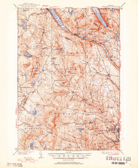 1951 Lyndonville1951 Print · USGSCaledonia and Orleans counties are shown here in the mid-twentieth century, featuring the deep glacial waters of the Northeast Kingdom. Genealogists and historians can trace local landmarks like Lyndon Teachers College, the Canadian Pacific line through Sutton Sta, and the West Look Cem.5 unique versions available
 - 1958 Map of Lake Champlain
 1958 Lake Champlain1958 Print · USGSThe Champlain Valley and surrounding high peaks are captured here in the late fifties, showcasing the cross-border region from the Adirondacks to the Green Mountains. Researchers can trace historic rail routes like the Rutland Railway or locate old valley settlements such as Keeseville and Vergennes.2 unique versions available
 - 1962 Map of Lake Champlain, 1975 Print
 1962 Lake Champlain1975 Print · USGSLake Champlain and the high peaks of the Adirondacks and Green Mountains are captured here during the mid-twentieth century. Researchers can trace the industrial legacy of the Lyon Mountain Mine and the rail corridors of the Central Vermont RR and Delaware & Hudson RR.3 unique versions available
 - 1986 Map of Lyndonville, 1987 Print
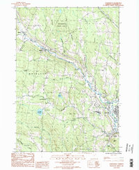 1986 Lyndonville1987 Print · USGSCaledonia County, Vermont, enters the late twentieth century as a landscape of highland forests and tight river-valley villages. Genealogists and local historians can trace the roads connecting Lyndonville and Wheelock past Lyndon State College and rural Cem sites.2 unique versions available
 - 1989 Map of Mount Mansfield
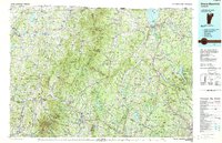 1989 Mount Mansfield1989 Print · USGSNorthern Vermont in the late eighties remains a landscape of deep forests and isolated mountain villages. Genealogists and hikers can trace the old rail lines of the Canadian Pacific RR or locate family sites near Lake Willoughby and Brownington Village.
 - 2012 Map of Lyndonville, 2012 Print
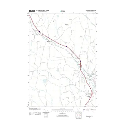 2012 Lyndonville2012 Print · USGSCaledonia County's river valleys and hillsides are documented here in the early twenty-first century, centered on the historic village of Lyndon. Genealogists and historians can trace family plots at Baptist Hill Cem or locate landmark spans like the Chamberlin Mill Covered Bridge and Bradley Covered Bridge.
 - 2015 Map of Lyndonville, 2015 Print
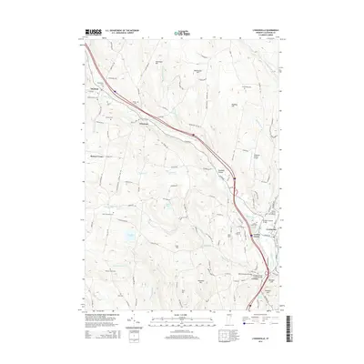 2015 Lyndonville2015 Print · USGSCaledonia County's river valleys and hill settlements are captured here in the mid-2010s, showing the enduring character of Vermont's northern villages. Genealogists and local historians can trace rural burial grounds like Baptist Hill Cem or find historic river crossings such as the Chamberlin Mill Covered Bridge.
 - 2018 Map of Lyndonville, 2018 Print
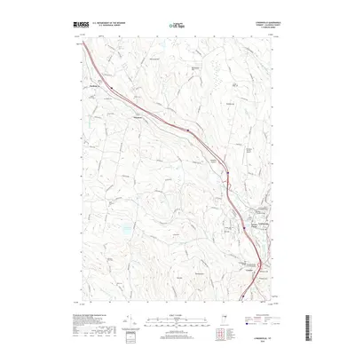 2018 Lyndonville2018 Print · USGSCaledonia County settlement follows the valley of the Passumpsic River during the late twenty-first century. Genealogists and historians can trace family lines through numerous rural burying grounds like Baptist Hill Cem and Mosher Cem or locate surviving landmarks like the Centre Covered Bridge.
 - 2021 Map of Lyndonville, 2021 Print
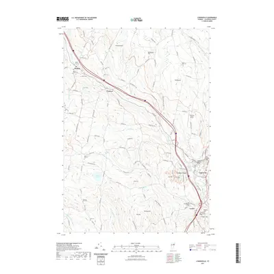 2021 Lyndonville2021 Print · USGSCaledonia County's river valleys and upland hills are captured here in a modern portrait of rural Vermont life. Genealogists and local historians can locate several historic burial sites like Drowns Cem or trace the routes to the Bradley Covered Bridge and Lyndon State College.
 - 2024 Map of Lyndonville, 2024 Print
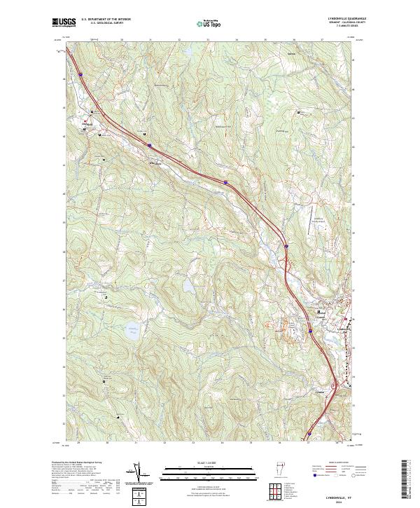 2024 Lyndonville2024 Print · USGSThe northern reaches of Caledonia County come into focus during this modern era, centered on the Passumpsic River and the village of Lyndonville. Researchers can trace old family burial sites like Baptist Hill Cem and Shattuck-Ward Cem alongside landmarks such as Lyndon State College.
End of results
Showing maps 1-13 of 13
Top cities near Lyndonville
- Saint Johnsbury historical maps
- Littleton historical maps
- Barton historical maps
- Danville historical maps
- Cabot historical maps
- Lunenburg historical maps
See more
Frequently asked questions
- What are the different types of historical maps available for Lyndonville?
- What is the oldest map of Lyndonville?
- Where can I purchase historical maps of Lyndonville for my home or office?
- Where can I download high-res historical maps of Lyndonville?
- Are there historical topographic maps available for Lyndonville?
- Is there historical aerial imagery available for Lyndonville?
- Where are historical maps of Lyndonville sourced from?