Old Maps of Richmond, Vermont for Hiking & Exploration
Hike through history with 37 historic maps of Richmond. Explore old trails, ghost towns, and forgotten backroads — perfect for outdoor adventurers and local explorers.
- Rediscover forgotten places: Map out old mining camps, roads, and footpaths that no longer exist on modern maps.
- Layer with modern tools: Combine with LiDAR or satellite views to plan hikes through historical terrain.
- Made for exploration: Popular among hikers, overlanders, and local history lovers.
Use these maps to find adventure and explore the hidden past of Richmond.
Richmond, VT maps
(37)- 1906 Map of Burlington
 1906 Burlington1906 Print · USGSBurlington and the Lake Champlain shoreline appear at the height of the railroad era, showing a dense city grid and industrial waterfront. Researchers can locate early schools and burial grounds like the University of Vermont and Greenmount Cemetery, alongside vanished stops like Mechanicsville.7 unique versions available
 - 1919 Map of Burlington
 1919 Burlington1919 Print · USGSLake Champlain and the Winooski River valley are shown here just after the Great War, during a period of industrial and rail growth. Genealogists can trace family homesteads near Prindle Corners or locate graves at Greenmount Cemetery and Lakeview Cemetery.
 - 1921 Map of Richmond
 1921 Richmond1921 Print · USGSThe Green Mountains in the early twenties were defined by the deep valleys of the Winooski River and the high peaks of the northern range. Genealogists and hikers can trace the original footprints of Underhill Center, the Duxbury School, and the Central Vermont rail line.
 - 1924 Map of Camels Hump
 1924 Camels Hump1924 Print · USGSThe Green Mountains in the early 1920s are centered on the iconic peak of Camels Hump and the busy Winooski River corridor. Genealogists and historians can trace the foundations of local life through the State Hospital for the Insane in Waterbury, small mountain schools like Piddock School, and the path of the Central Vermont railroad.5 unique versions available
 - 1944 Map of Camels Hump
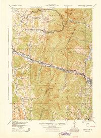 1944 Camels Hump1944 Print · USGSThe Green Mountains at the height of the war era show a landscape defined by valley settlements and military expansion. You can trace the Central Vermont rail line through Bolton or find vanished rural schoolhouses like Ricker Sch and Phillips Sch.
 - 1944 Map of Burlington
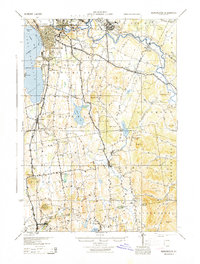 1944 Burlington1944 Print · USGSMid-century Burlington and its surrounding Lake Champlain shorelines are captured here at the height of the war years. Local historians can trace the Rutland Railroad through Shelburne or locate family sites near Prindle Corners and Fays Corners.2 unique versions available
 - 1948 Map of Richmond
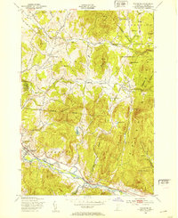 1948 Richmond1948 Print · USGSChittenden County rural life and mountain industry are captured here just after the war. Researchers can trace the Central Vermont rail line through Richmond, locate the Old Round Church, and explore the limits of the Fort Ethan Allen Military Reservation.5 unique versions available
 - 1948 Map of Huntington, 1953 Print
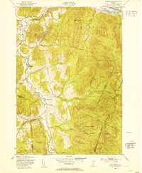 1948 Huntington1953 Print · USGSThe Huntington River valley and the heights of the Green Mountains are shown in the late 1940s before modern development. Hikers and historians can trace The Long Trail to remote camps like Gorham Lodge or find rural landmarks like Fiddock Sch.4 unique versions available
 - 1948 Map of Hinesburg, 1953 Print
 1948 Hinesburg1953 Print · USGSChittenden and Addison counties are shown during the late 1940s, a period when rural Vermont still relied heavily on local mills and quarries. Genealogists and hikers can trace the old homesteads around Rhode Island Corner or explore the heights of Mount Pritchard and Shaker Mountain.5 unique versions available
 - 1948 Map of Essex Junction, 1953 Print
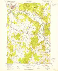 1948 Essex Junction1953 Print · USGSThe Winooski River valley in the late 1940s reveals a landscape of railroad towns and rural schoolhouses. Genealogists and historians can trace the early layout of Essex Junction and find long-lost landmarks like Kirby Corner, Fays Corner, and the Lake Iroquois Sch.5 unique versions available
 - 1948 Map of Burlington, 1954 Print
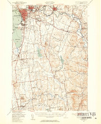 1948 Burlington1954 Print · USGSThe Lake Champlain shoreline and Winooski River valley are shown here just after the war, balancing urban growth with deep-rooted rural townships. Genealogists can locate family names and sites from St Michael College to remote landmarks like Prindle Corners and Fays Corner.4 unique versions available
 - 1948 Map of Camels Hump, 1954 Print
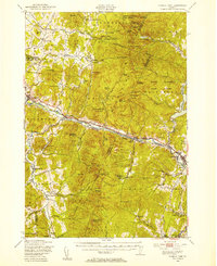 1948 Camels Hump1954 Print · USGSThe Green Mountains of the late 1940s are defined by the Winooski River corridor and the high peaks of the range. Genealogists and local historians can trace the foundations of mountain life through Old Round Ch, the Machine Gun Sch, and the rail stops of the Central Vermont line.5 unique versions available
 - 1950 Map of Lake Champlain
 1950 Lake Champlain1950 Print · USGSThe Lake Champlain valley and its surrounding peaks are captured in detail during the late 1940s, showing the vital rail and road connections between New York and Vermont. Researchers can trace the routes of the Central Vermont Railway or locate old industrial centers like Mineville and Witherbee.2 unique versions available
 - 1958 Map of Lake Champlain
 1958 Lake Champlain1958 Print · USGSThe Champlain Valley and surrounding high peaks are captured here in the late fifties, showcasing the cross-border region from the Adirondacks to the Green Mountains. Researchers can trace historic rail routes like the Rutland Railway or locate old valley settlements such as Keeseville and Vergennes.2 unique versions available
 - 1962 Map of Lake Champlain, 1975 Print
 1962 Lake Champlain1975 Print · USGSLake Champlain and the high peaks of the Adirondacks and Green Mountains are captured here during the mid-twentieth century. Researchers can trace the industrial legacy of the Lyon Mountain Mine and the rail corridors of the Central Vermont RR and Delaware & Hudson RR.3 unique versions available
 - 1986 Map of Lake Champlain South
 1986 Lake Champlain South1986 Print · USGSIn the mid-1980s, the shores of Lake Champlain linked the Adirondack high peaks with the Vermont valley. Genealogists and researchers can trace the rail lines of the Delaware & Hudson RR or locate historic settlements like Mineville and Au Sable Forks.2 unique versions available
 - 1988 Map of Montpelier
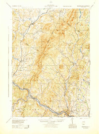 1988 Montpelier1988 Print · USGSThe area surrounding Vermont’s capital city appears here during the early 1940s, showing the vital rail-and-river network. Genealogists can trace family names across a dozen district schools and rural sites like Middlesex Center and the Talc Mine.2 unique versions available
 - 2012 Map of Hinesburg, 2012 Print
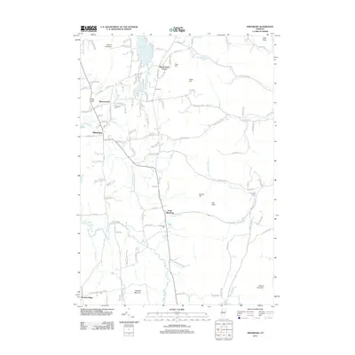 2012 Hinesburg2012 Print · USGSHinesburg and the surrounding Vermont hills are captured here in the early twenty-first century as the landscape maintains its traditional rural-residential character. Genealogists and historians can locate family landmarks such as McDonough Cemetery and Barker Cemetery or trace the early paths of Rhode Island Corner and South Hinesburg.
 - 2012 Map of Essex Junction, 2012 Print
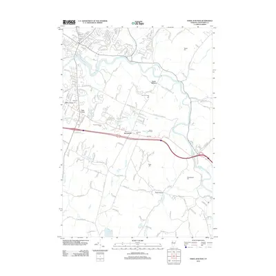 2012 Essex Junction2012 Print · USGSChittenden County in the early 2010s reveals a landscape of growing residential hubs and established industry along the Winooski River. Genealogists and local historians can trace family plots at Village Cem or locate community landmarks like Kirby Corner and Lake Iroquois.
 - 2012 Map of Richmond, 2012 Print
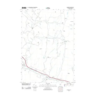 2012 Richmond2012 Print · USGSThe Chittenden County landscape in the early twenty-first century reveals a blend of river-valley commerce and mountain recreation. Genealogists and local historians can trace burial sites like Saint Marys Cem and follow the drainage of Snipe Island Brook toward Jonesville.
 - 2012 Map of Huntington, 2012 Print
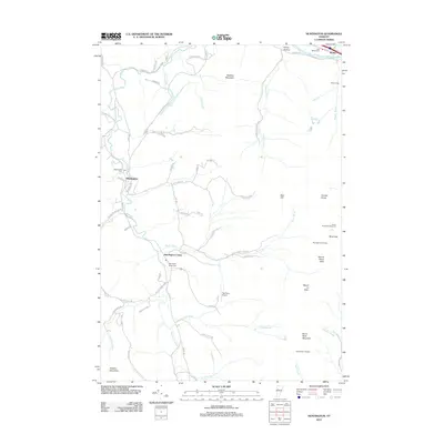 2012 Huntington2012 Print · USGSModern Huntington and the surrounding Green Mountain peaks are documented here just after the turn of the millennium. Researchers can locate family sites near Maplewood Cem, trace the drainage of Huntington River, or find hiking landmarks like Camels Hump and Cowles Cove Shelter.
 - 2015 Map of Huntington, 2015 Print
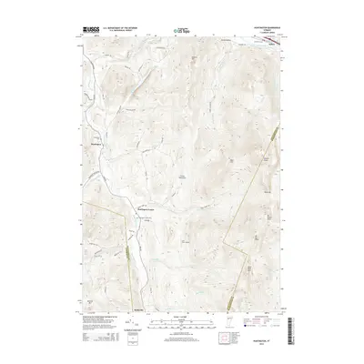 2015 Huntington2015 Print · USGSThe Huntington River valley is captured here in the mid-2010s, showing the classic settlement pattern of the Vermont Green Mountains. Genealogists and hikers can trace the terrain from Hanksville up to high peaks like Camels Hump and Mt Ethan Allen.
 - 2015 Map of Richmond, 2015 Print
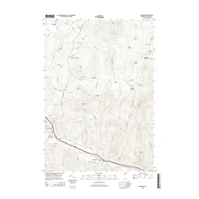 2015 Richmond2015 Print · USGSChittenden County’s rugged valley and mountain landscape is captured here in the mid-2010s, centered on the Winooski River corridor. Genealogists and local historians can trace burial sites like Old Village Cem or locate rural landmarks such as Edmond Bridge and The Cobble.
 - 2015 Map of Essex Junction, 2015 Print
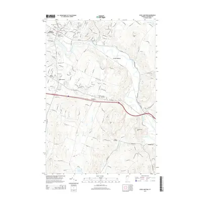 2015 Essex Junction2015 Print · USGSChittenden County at the start of the twenty-first century reveals a landscape shaped by the winding Winooski River and historic crossroads. Genealogists and local historians can trace burial sites like Morse Cem and Chittenden Cem or explore the geography of Kirby Corner and Fays Corner.
 - 2015 Map of Hinesburg, 2015 Print
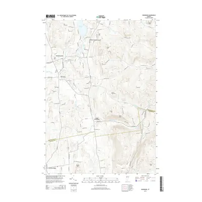 2015 Hinesburg2015 Print · USGSVermont's Green Mountains and fertile river valleys are captured here during the mid-2010s. Researchers can trace family history through several local burial sites like Barker Cem or explore rural settlements such as Mechanicsville and South Hinesburg.
Showing maps 1-25 of 37
Top cities near Richmond
- Burlington historical maps
- South Burlington historical maps
- Colchester historical maps
- Essex historical maps
- Essex Junction historical maps
- Williston historical maps
See more
Top neighborhoods of Richmond
Frequently asked questions
- What are the different types of historical maps available for Richmond?
- What is the oldest map of Richmond?
- Where can I purchase historical maps of Richmond for my home or office?
- Where can I download high-res historical maps of Richmond?
- Are there historical topographic maps available for Richmond?
- Is there historical aerial imagery available for Richmond?
- Where are historical maps of Richmond sourced from?