
1948 Map of Hinesburg
USGS Topo · Published 1953About this map
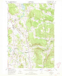
Hinesburg and its surrounding hill country are captured here shortly after the war, revealing a landscape defined by steep ridges and early industrial sites. The terrain is anchored by prominent heights like Mount Pritchard and Lincoln Hill, with the La Platte River and Lewis Creek carving through the valleys. Smaller settlements such as Mechanicsville and South Hinesburg appear as clusters of homes and small-scale operations, including a Windmill and Sawmill near the latter.
Find a feature on this map
35 named features on this map. Tap any name to fly to it.
Don’t see what you’re looking for? This feature index may not catch every label — zoom into the map to look around manually.
Map Details
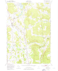
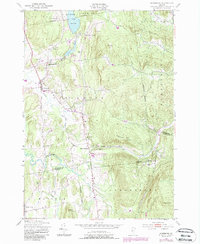
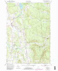
Editions of this 1948 Hinesburg Map
5 editions found
Other maps of this area

1903 · Middlebury
USGS Topo · 1:62,500

1905 · Middlebury
USGS Topo · 1:62,500

1906 · Burlington
USGS Topo · 1:62,500

1919 · Burlington
USGS Topo · 1:62,500

1919 · Lincoln Mountain
USGS Topo · 1:62,500

1920 · Lincoln Mountain
USGS Topo · 1:48,000

1920 · Middlebury
USGS Topo · 1:62,500

1921 · Richmond
USGS Topo · 1:48,000

1921 · Lincoln Mountain
USGS Topo · 1:62,500

1924 · Camels Hump
USGS Topo · 1:62,500