Old Maps of Shelburne, Vermont for Hiking & Exploration
Hike through history with 37 historic maps of Shelburne. Explore old trails, ghost towns, and forgotten backroads — perfect for outdoor adventurers and local explorers.
- Rediscover forgotten places: Map out old mining camps, roads, and footpaths that no longer exist on modern maps.
- Layer with modern tools: Combine with LiDAR or satellite views to plan hikes through historical terrain.
- Made for exploration: Popular among hikers, overlanders, and local history lovers.
Use these maps to find adventure and explore the hidden past of Shelburne.
Shelburne, VT maps
(37)- 1895 Map of Willsboro
 1895 Willsboro1895 Print · USGSLake Champlain and its late 19th-century transport networks are detailed here, showing the era when ferries and steamships linked New York and Vermont. Genealogists and historians can trace old homesteads and landings near Keeseville, the McNeil Ferry, and the tracks of the Central Vermont R. R.7 unique versions available
 - 1906 Map of Burlington
 1906 Burlington1906 Print · USGSBurlington and the Lake Champlain shoreline appear at the height of the railroad era, showing a dense city grid and industrial waterfront. Researchers can locate early schools and burial grounds like the University of Vermont and Greenmount Cemetery, alongside vanished stops like Mechanicsville.7 unique versions available
 - 1919 Map of Burlington
 1919 Burlington1919 Print · USGSLake Champlain and the Winooski River valley are shown here just after the Great War, during a period of industrial and rail growth. Genealogists can trace family homesteads near Prindle Corners or locate graves at Greenmount Cemetery and Lakeview Cemetery.
 - 1941 Map of Willsboro
 1941 Willsboro1941 Print · USGSLake Champlain's shores in New York and Vermont are captured here just before the war, showing a landscape defined by lakefront landings and busy railroads. Trace the routes of the Delaware and Hudson and find local landmarks like Craterclub, Whallonsburg, and St Josephs Ch.2 unique versions available
 - 1943 Map of Willsboro
 1943 Willsboro1943 Print · USGSThe Lake Champlain shoreline in the early 1940s reveals a landscape of mountain-backed villages and vital cross-lake rail connections. Genealogists and researchers can trace local landmarks like St Josephs Ch, Lakeview Cem, and the path of the Delaware and Hudson railroad.3 unique versions available
 - 1944 Map of Burlington
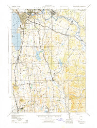 1944 Burlington1944 Print · USGSMid-century Burlington and its surrounding Lake Champlain shorelines are captured here at the height of the war years. Local historians can trace the Rutland Railroad through Shelburne or locate family sites near Prindle Corners and Fays Corners.2 unique versions available
 - 1948 Map of Mount Philo, 1953 Print
 1948 Mount Philo1953 Print · USGSThe Champlain Valley at the end of the 1940s reveals a landscape of upland pastures and valley farms. Genealogists and historians can trace old homesteads near Shelburne Falls, rural schoolhouses like New Palmer Sch, and the high points of Mount Philo.4 unique versions available
 - 1948 Map of Burlington, 1953 Print
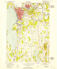 1948 Burlington1953 Print · USGSMid-century Burlington and its surrounding lakefront villages were thriving during this era of post-war growth. Researchers can trace the rail lines of the Rutland, locate the University of Vermont, and find early landmarks like Union Sta and Lakeview Cem.5 unique versions available
 - 1948 Map of Burlington, 1954 Print
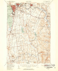 1948 Burlington1954 Print · USGSThe Lake Champlain shoreline and Winooski River valley are shown here just after the war, balancing urban growth with deep-rooted rural townships. Genealogists can locate family names and sites from St Michael College to remote landmarks like Prindle Corners and Fays Corner.4 unique versions available
 - 1950 Map of Lake Champlain
 1950 Lake Champlain1950 Print · USGSThe Lake Champlain valley and its surrounding peaks are captured in detail during the late 1940s, showing the vital rail and road connections between New York and Vermont. Researchers can trace the routes of the Central Vermont Railway or locate old industrial centers like Mineville and Witherbee.2 unique versions available
 - 1956 Map of Willsboro, 1958 Print
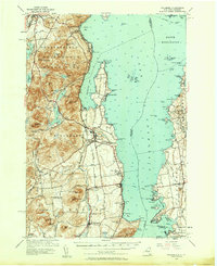 1956 Willsboro1958 Print · USGSLake Champlain and the eastern Adirondacks come alive in the mid-1950s, showing the intricate shoreline from New York to Vermont. Genealogists can trace family roots through sites like Whallon Bay Sch, Boardman Cem, and the Lady of Hope Shrine.4 unique versions available
 - 1958 Map of Lake Champlain
 1958 Lake Champlain1958 Print · USGSThe Champlain Valley and surrounding high peaks are captured here in the late fifties, showcasing the cross-border region from the Adirondacks to the Green Mountains. Researchers can trace historic rail routes like the Rutland Railway or locate old valley settlements such as Keeseville and Vergennes.2 unique versions available
 - 1962 Map of Lake Champlain, 1975 Print
 1962 Lake Champlain1975 Print · USGSLake Champlain and the high peaks of the Adirondacks and Green Mountains are captured here during the mid-twentieth century. Researchers can trace the industrial legacy of the Lyon Mountain Mine and the rail corridors of the Central Vermont RR and Delaware & Hudson RR.3 unique versions available
 - 1980 Map of Willsboro
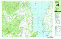 1980 Willsboro1980 Print · USGSThe Lake Champlain shoreline at the edge of the Adirondacks was a bustling corridor of rail and water transport in the late twentieth century. Researchers can trace the Delaware and Hudson line between Willsboro and Essex, or locate family sites like Brookfield Cem and St Josephs Ch.
 - 1980 Map of Willsboro Bay, 1981 Print
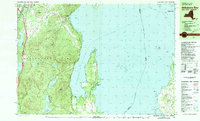 1980 Willsboro Bay1981 Print · USGSLake Champlain and the eastern edge of the Adirondacks meet in the early eighties, revealing a landscape of shoreline camps and mountain peaks. Trace the Delaware and Hudson rail line through Port Douglass or locate historic family spots near Highlands Forge Lake and Schuyler Island.2 unique versions available
 - 1986 Map of Lake Champlain South
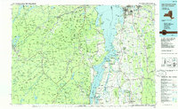 1986 Lake Champlain South1986 Print · USGSIn the mid-1980s, the shores of Lake Champlain linked the Adirondack high peaks with the Vermont valley. Genealogists and researchers can trace the rail lines of the Delaware & Hudson RR or locate historic settlements like Mineville and Au Sable Forks.2 unique versions available
 - 1999 Map of Willsboro, 2000 Print
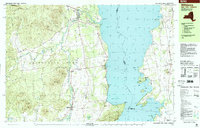 1999 Willsboro2000 Print · USGSSettled along the shores of Lake Champlain at the close of the twentieth century, this area features historic villages and mountain peaks. Genealogists can trace family names at Boardman Cem and Barber Cem or locate the Covered Bridge and St Philip Ch.
 - 2012 Map of Mount Philo, 2012 Print
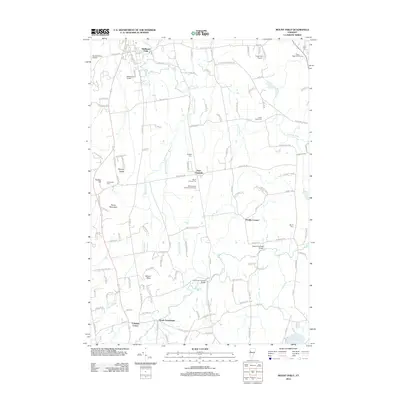 2012 Mount Philo2012 Print · USGSThe Champlain Valley uplands south of Shelburne come alive in this map of twentieth-century Vermont. Researchers can locate family landmarks like the Sequin Covered Bridge or trace the rural routes connecting East Charlotte and North Ferrisburgh.
 - 2012 Map of Juniper Island, 2012 Print
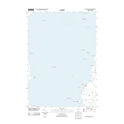 2012 Juniper Island2012 Print · USGSLake Champlain and its storied islands are the focus of this 2012 survey near Shelburne and Burlington. Genealogists and local historians can locate the Quaker Smith Point Cem and trace coastal landmarks like Rock Dunder and Juniper Island.
 - 2012 Map of Charlotte, 2012 Print
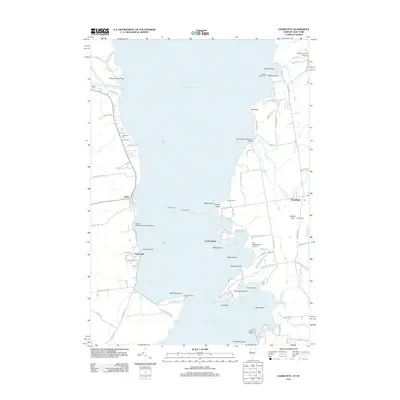 2012 Charlotte2012 Print · USGSLake Champlain was a bustling maritime and agricultural hub in the early twenty-first century. Genealogists and local historians can trace legacy sites like the Holmes Creek Covered Bridge, Split Rock Point Light, and the Essex Ferry crossing.
 - 2012 Map of Burlington, 2012 Print
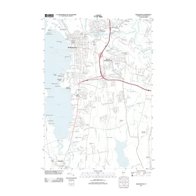 2012 Burlington2012 Print · USGSBurlington and the shores of Lake Champlain are shown here during a period of significant modern infrastructure and preserved local heritage. Researchers can locate numerous historic cemeteries like Elmwood Avenue Cem, the grounds of the University of Vermont, and the Museum Covered Bridge near Shelburne.
 - 2015 Map of Juniper Island, 2015 Print
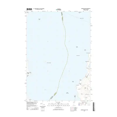 2015 Juniper Island2015 Print · USGSLake Champlain and its rocky islands are documented in this 2015 survey of the Vermont and New York border. Trace local landmarks like the Webb Cem, the Shelburne Farms Airport, and notable features like Rock Dunder.
 - 2015 Map of Mount Philo, 2015 Print
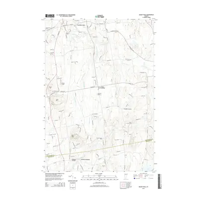 2015 Mount Philo2015 Print · USGSThe rural landscape south of Shelburne comes alive in the mid-2010s, showing a region of river valleys and agricultural ridges. Researchers can trace local heritage through landmarks like Sequin Covered Bridge and old family grounds such as Bradley Cem and O'Neil Road Cem.
 - 2015 Map of Charlotte, 2015 Print
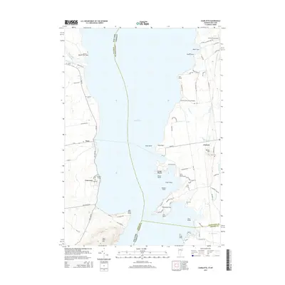 2015 Charlotte2015 Print · USGSLake Champlain's central waters divide the New York and Vermont coastlines as they appeared in the mid-2010s. Researchers can trace historic family burial sites like Thorp Cem and locate landmarks such as the Holmes Creek Covered Bridge and Bostwick Farm Airport.
 - 2015 Map of Burlington, 2015 Print
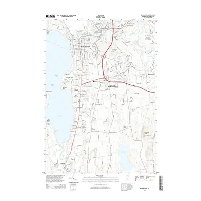 2015 Burlington2015 Print · USGSThe Lake Champlain shoreline and the Winooski River valley are shown here in 2015, capturing the area's transition from urban centers to rural hillsides. Researchers can trace local history through sites like the Museum Covered Bridge, Fort Ethan Allen Cem, and the Univ of Vermont campus.
Showing maps 1-25 of 37
Top cities near Shelburne
- Burlington historical maps
- South Burlington historical maps
- Colchester historical maps
- Essex historical maps
- Essex Junction historical maps
- Williston historical maps
See more
Top neighborhoods of Shelburne
Frequently asked questions
- What are the different types of historical maps available for Shelburne?
- What is the oldest map of Shelburne?
- Where can I purchase historical maps of Shelburne for my home or office?
- Where can I download high-res historical maps of Shelburne?
- Are there historical topographic maps available for Shelburne?
- Is there historical aerial imagery available for Shelburne?
- Where are historical maps of Shelburne sourced from?