2020s Maps of Maidstone, Vermont
Explore 8 historic maps of Maidstone from the 2020s. These maps offer a rare glimpse into what life looked like during the 2020s — showing old roads, neighborhoods, homes, and landmarks that have changed or disappeared over time.
Whether you're researching your family's past, planning a metal detecting trip, or studying how Maidstone's landscape evolved across the 2020s, these high-resolution maps are a powerful tool for exploring the history of this region.
- Focus on a specific era: All maps on this page are from the 2020s, giving you a focused view of this time period.
- See what’s changed: Compare century-old streets, trails, and buildings to today's modern landscape using overlays and satellite layers.
- Research with precision: Use these maps for genealogy, historical research, land use analysis, or educational projects.
- View, download, or print: Maps are fully viewable online in high resolution, and can be downloaded or printed for your own records.
Start exploring Maidstone's history through authentic maps from the 2020s. This is your window into the past.
Maidstone, VT maps
(8)- 2021 Map of Stratford, 2021 Print
 2021 Stratford2021 Print · USGSCovers Maidstone, including Northumberland, Stratford, and other nearby areas
 - 2021 Map of Groveton, 2021 Print
 2021 Groveton2021 Print · USGSCovers Maidstone, including Lancaster, Northumberland, and other nearby areas
 - 2021 Map of Stone Mountain, 2021 Print
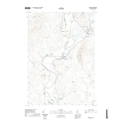
 2021 Stone Mountain2021 Print · USGSCovers Maidstone, including Lunenburg, Guildhall, and other nearby areas
 - 2021 Map of Maidstone Lake, 2021 Print
 2021 Maidstone Lake2021 Print · USGSCovers Maidstone, including Stratford, East Haven, and other nearby areas
 - 2024 Map of Groveton, 2024 Print
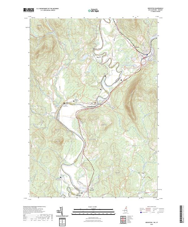 2024 Groveton2024 Print · USGSThe riverfront communities of the Vermont-New Hampshire border are captured in this contemporary survey. Genealogists can trace family roots through the Essex County Courthouse and numerous burial sites like Stevens - McDade Cem and Webb Cem.
 - 2024 Map of Stone Mountain, 2024 Print
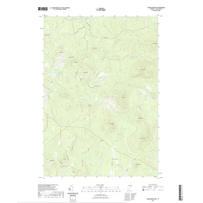
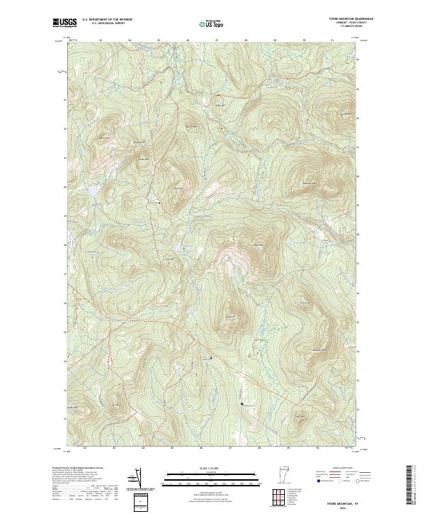 2024 Stone Mountain2024 Print · USGSUpper Essex County is shown here in its modern rural character, dominated by the peaks of the Northeast Kingdom. Genealogists can locate family burial sites at Boyce Cem and Spaulding Cem while tracing the old paths of Granby Rd.
 - 2024 Map of Stratford, 2024 Print
 2024 Stratford2024 Print · USGSThe Upper Connecticut River Valley at the New Hampshire-Vermont border comes alive in this contemporary survey. Researchers can trace historical family burial grounds like Smith Gardner Shoff Cem and Burnside Cem while exploring river settlements from North Stratford to Mapleton.
 - 2024 Map of Maidstone Lake, 2024 Print
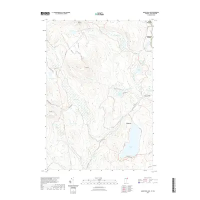
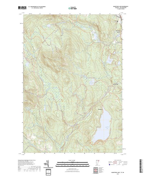 2024 Maidstone Lake2024 Print · USGSMaidstone Lake and the upper Connecticut River valley are shown in contemporary detail within this Essex County wilderness. Researchers can trace the legacy of local industry and settlement at Brunswick Springs, Browns Mill, and the small Cem near the riverbank.
End of results
Showing maps 1-8 of 8
Top cities near Maidstone
- Berlin historical maps
- Lancaster historical maps
- Whitefield historical maps
- Northumberland historical maps
- Colebrook historical maps
- Lunenburg historical maps
See more
Top neighborhoods of Maidstone
Frequently asked questions
- What are the different types of historical maps available for Maidstone?
- What is the oldest map of Maidstone?
- Where can I purchase historical maps of Maidstone for my home or office?
- Where can I download high-res historical maps of Maidstone?
- Are there historical topographic maps available for Maidstone?
- Is there historical aerial imagery available for Maidstone?
- Where are historical maps of Maidstone sourced from?