2020s Maps of Montgomery, Vermont
Explore 8 historic maps of Montgomery from the 2020s. These maps offer a rare glimpse into what life looked like during the 2020s — showing old roads, neighborhoods, homes, and landmarks that have changed or disappeared over time.
Whether you're researching your family's past, planning a metal detecting trip, or studying how Montgomery's landscape evolved across the 2020s, these high-resolution maps are a powerful tool for exploring the history of this region.
- Focus on a specific era: All maps on this page are from the 2020s, giving you a focused view of this time period.
- See what’s changed: Compare century-old streets, trails, and buildings to today's modern landscape using overlays and satellite layers.
- Research with precision: Use these maps for genealogy, historical research, land use analysis, or educational projects.
- View, download, or print: Maps are fully viewable online in high resolution, and can be downloaded or printed for your own records.
Start exploring Montgomery's history through authentic maps from the 2020s. This is your window into the past.
Montgomery, VT maps
(8)- 2021 Map of Cold Hollow Mountains, 2021 Print
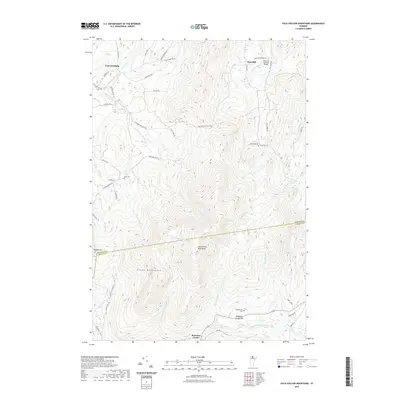 2021 Cold Hollow Mountains2021 Print · USGSCovers Montgomery, including Bakersfield, Eden, and other nearby areas
 - 2021 Map of Jay Peak, 2021 Print
 2021 Jay Peak2021 Print · USGSCovers Montgomery, including Richford, Jay, and other nearby areas
 - 2021 Map of Hazens Notch, 2021 Print
 2021 Hazens Notch2021 Print · USGSCovers Montgomery, including Eden, Westfield, and other nearby areas
 - 2021 Map of Richford, 2021 Print
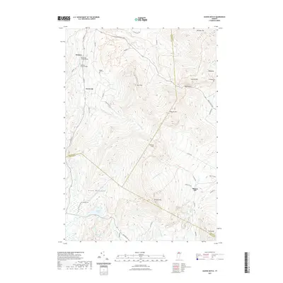
 2021 Richford2021 Print · USGSCovers Montgomery, including Richford, Berkshire, and other nearby areas
 - 2024 Map of Richford, 2024 Print
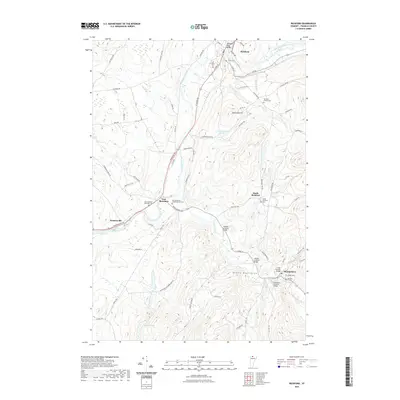
 2024 Richford2024 Print · USGSFranklin County communities thrive along the river valleys of northern Vermont in this contemporary survey. Researchers can trace family history through numerous burial grounds like Richford Center Cem and follow the route of the Missisquoi Valley Rail-Trail.
 - 2024 Map of Cold Hollow Mountains, 2024 Print
 2024 Cold Hollow Mountains2024 Print · USGSNorthern Vermont's high country is documented here in recent years, showing the intersection of Franklin and Lamoille Counties. Researchers can trace rural lineages through the West Hill Cem and Chamberlain Cem or explore the rugged Cold Hollow Mountains.
 - 2024 Map of Jay Peak, 2024 Print
 2024 Jay Peak2024 Print · USGSThe high ridgelines of the Green Mountains define this Vermont borderland in the early twenty-first century. Genealogists and local historians can trace family roots through Saint Isidore Cem and Montgomery Center Cem or follow the path of The Long Trl past Big Jay.
 - 2024 Map of Hazens Notch, 2024 Print
 2024 Hazens Notch2024 Print · USGSVermont's Green Mountains reveal a landscape of high peaks and historic crossings during the twenty-first century. Genealogists and hikers can trace the paths around Hazens Notch, locating Roegan Road Cem and the site of Tillotson Mill.
End of results
Showing maps 1-8 of 8
Top cities near Montgomery
- Johnson historical maps
- Underhill historical maps
- Hyde Park historical maps
- Richford historical maps
- Sheldon historical maps
- Wolcott historical maps
See more
Top neighborhoods of Montgomery
- Montgomery Center historical maps
- Hectorville historical maps
- West Hill historical maps
- Hutchins historical maps
Frequently asked questions
- What are the different types of historical maps available for Montgomery?
- What is the oldest map of Montgomery?
- Where can I purchase historical maps of Montgomery for my home or office?
- Where can I download high-res historical maps of Montgomery?
- Are there historical topographic maps available for Montgomery?
- Is there historical aerial imagery available for Montgomery?
- Where are historical maps of Montgomery sourced from?