Old Maps of Belvidere, Vermont for Hiking & Exploration
Hike through history with 31 historic maps of Belvidere. Explore old trails, ghost towns, and forgotten backroads — perfect for outdoor adventurers and local explorers.
- Rediscover forgotten places: Map out old mining camps, roads, and footpaths that no longer exist on modern maps.
- Layer with modern tools: Combine with LiDAR or satellite views to plan hikes through historical terrain.
- Made for exploration: Popular among hikers, overlanders, and local history lovers.
Use these maps to find adventure and explore the hidden past of Belvidere.
Belvidere, VT maps
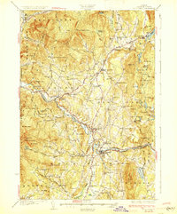
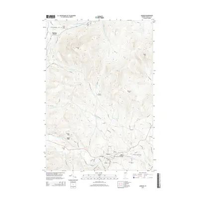
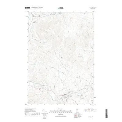
(31)- 1919 Map of Montgomery, 1920 Print
 1919 Montgomery1920 Print · USGSFranklin County at the close of the Great War was a landscape of mountain passes and railroad junctions. Genealogists and historians can trace the early layout of Montgomery and Richford, locating family-named landmarks like Nutting Corner and Farrar Corner.
 - 1920 Map of Montgomery
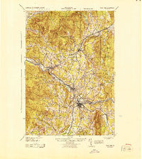
 1920 Montgomery1920 Print · USGSNorthern Vermont's rugged borderlands come alive in this post-World War I survey of the Missisquoi River valley. Genealogists can trace family homesteads near Grocers Corner, Hectorville, and old schoolhouses like the Notch School.
 - 1925 Map of Jay Peak
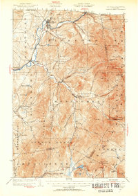
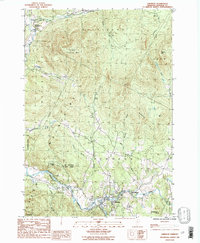
 1925 Jay Peak1925 Print · USGSThe Green Mountains of northern Vermont meet the Canadian border in the mid-1920s, showing a rugged landscape of rail junctions and mountain passes. Genealogists and historians can trace defunct district schoolhouses like Corey School, the operations of the Asbestos Mine, and timber-era landmarks like Stevens Mill.4 unique versions available
 - 1927 Map of Hyde Park
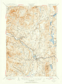
 1927 Hyde Park1927 Print · USGSLamoille County was a landscape of small river towns and mountain hollows in the late twenties. Researchers can locate dozens of district schoolhouses like Wescome Sch, the local Talc Mine, and family burial grounds including Blake Cem.
 - 1930 Map of Hyde Park
 1930 Hyde Park1930 Print · USGSLamoille County in the late twenties shows a landscape of busy river towns and upland mines connected by the St Johnsbury and Lake Champlain Railroad. Trace early school districts like McKinistry Sch. or locate old operations at the Talc Mine and Upper Diggings.4 unique versions available
 - 1943 Map of Hyde Park
 1943 Hyde Park1943 Print · USGSLamoille County during the mid-1940s shows a landscape of river-valley industry and upland hill farms. Researchers can locate dozens of country schoolhouses like Wiswell Sch and trace local mining history at the Talc Mine or the Lower Diggings.
 - 1943 Map of Jay Peak, 1946 Print
 1943 Jay Peak1946 Print · USGSThe Vermont high country comes into focus in the mid-1940s, showing a rugged landscape of rail junctions and mountain industries. Genealogists and historians can locate remote mountain schools like Woodward Sch, the industrial Asbestos Mine, and the mill sites of Hectorville.
 - 1950 Map of Lake Champlain
 1950 Lake Champlain1950 Print · USGSThe Lake Champlain valley and its surrounding peaks are captured in detail during the late 1940s, showing the vital rail and road connections between New York and Vermont. Researchers can trace the routes of the Central Vermont Railway or locate old industrial centers like Mineville and Witherbee.2 unique versions available
 - 1953 Map of Jay Peak, 1954 Print
 1953 Jay Peak1954 Print · USGSNorthern Vermont's Green Mountains meet the Canadian border in this mid-century survey of the high peaks and river valleys. Researchers can trace the legacy of timber and mining at Tillotson Mill and the ASBESTOS MINE, or locate rural schools like Woodward School.4 unique versions available
 - 1953 Map of Hyde Park, 1955 Print
 1953 Hyde Park1955 Print · USGSLamoille County in the early fifties shows a mountain landscape shaped by the St Johnsbury and Lake Champlain Railroad and the timber-and-talc economy. Researchers can locate local landmarks like the State Teachers College, the Talc Mine, and family burial grounds like La Porte Cem.4 unique versions available
 - 1958 Map of Lake Champlain
 1958 Lake Champlain1958 Print · USGSThe Champlain Valley and surrounding high peaks are captured here in the late fifties, showcasing the cross-border region from the Adirondacks to the Green Mountains. Researchers can trace historic rail routes like the Rutland Railway or locate old valley settlements such as Keeseville and Vergennes.2 unique versions available
 - 1962 Map of Lake Champlain, 1975 Print
 1962 Lake Champlain1975 Print · USGSLake Champlain and the high peaks of the Adirondacks and Green Mountains are captured here during the mid-twentieth century. Researchers can trace the industrial legacy of the Lyon Mountain Mine and the rail corridors of the Central Vermont RR and Delaware & Hudson RR.3 unique versions available
 - 1986 Map of Johnson, 1987 Print
 1986 Johnson1987 Print · USGSLamoille County's river valleys and mountain peaks are documented here in the mid-1980s, centered on the historic village of Johnson. Researchers can trace old family-named landmarks and local sites like Ithiel Falls, Belvidere Junction, and Prospect Rock.2 unique versions available
 - 1986 Map of Hazens Notch, 1987 Print
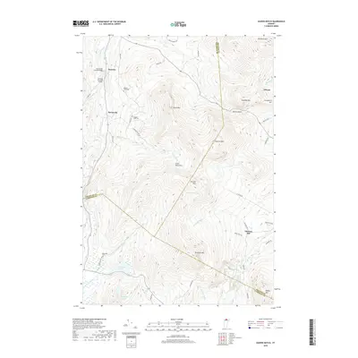
 1986 Hazens Notch1987 Print · USGSThe Green Mountains of northern Vermont are captured here in the mid-1980s, centered on the high pass of Hazens Notch. Trace local industrial history at the Strip Mine or locate historic landmarks like the Covered Bridge in Hectorville and the Tillotson Mill.
 - 1986 Map of Cold Hollow Mountains, 1987 Print
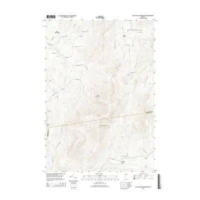
 1986 Cold Hollow Mountains1987 Print · USGSThe northern Green Mountains in the mid-1980s are captured here during a period of transition in Vermont's highland forests. Researchers can trace the remote drainage of Cold Hollow Brook, locate Belvidere Center, and identify family landmarks like West Hill.
 - 1989 Map of Mount Mansfield
 1989 Mount Mansfield1989 Print · USGSNorthern Vermont in the late eighties remains a landscape of deep forests and isolated mountain villages. Genealogists and hikers can trace the old rail lines of the Canadian Pacific RR or locate family sites near Lake Willoughby and Brownington Village.
 - 2012 Map of Hazens Notch, 2012 Print
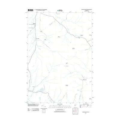 2012 Hazens Notch2012 Print · USGSCovers Belvidere, including Montgomery, Eden, and other nearby areas
 - 2012 Map of Johnson, 2012 Print
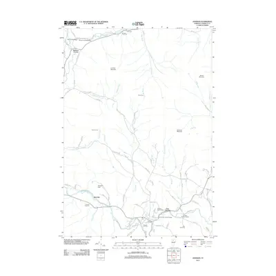 2012 Johnson2012 Print · USGSCovers Belvidere, including Johnson, Hyde Park, and other nearby areas
 - 2012 Map of Cold Hollow Mountains, 2012 Print
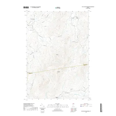
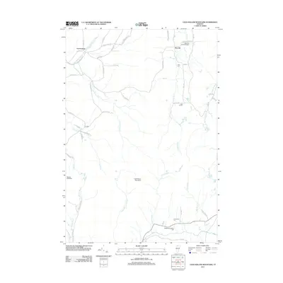 2012 Cold Hollow Mountains2012 Print · USGSCovers Belvidere, including Bakersfield, Montgomery, and other nearby areas
 - 2015 Map of Johnson, 2015 Print
 2015 Johnson2015 Print · USGSCovers Belvidere, including Johnson, Hyde Park, and other nearby areas
 - 2015 Map of Cold Hollow Mountains, 2015 Print
 2015 Cold Hollow Mountains2015 Print · USGSCovers Belvidere, including Bakersfield, Montgomery, and other nearby areas
 - 2015 Map of Hazens Notch, 2015 Print
 2015 Hazens Notch2015 Print · USGSCovers Belvidere, including Montgomery, Eden, and other nearby areas
 - 2018 Map of Cold Hollow Mountains, 2018 Print
 2018 Cold Hollow Mountains2018 Print · USGSCovers Belvidere, including Bakersfield, Montgomery, and other nearby areas
 - 2018 Map of Johnson, 2018 Print
 2018 Johnson2018 Print · USGSCovers Belvidere, including Johnson, Hyde Park, and other nearby areas
 - 2018 Map of Hazens Notch, 2018 Print
 2018 Hazens Notch2018 Print · USGSCovers Belvidere, including Montgomery, Eden, and other nearby areas
Showing maps 1-25 of 31
Top cities near Belvidere
- Stowe historical maps
- Cambridge Village historical maps
- Johnson historical maps
- Underhill historical maps
- Hyde Park historical maps
- Richford historical maps
See more
Top neighborhoods of Belvidere
Frequently asked questions
- What are the different types of historical maps available for Belvidere?
- What is the oldest map of Belvidere?
- Where can I purchase historical maps of Belvidere for my home or office?
- Where can I download high-res historical maps of Belvidere?
- Are there historical topographic maps available for Belvidere?
- Is there historical aerial imagery available for Belvidere?
- Where are historical maps of Belvidere sourced from?