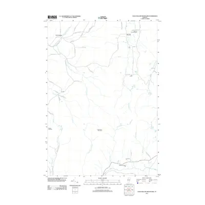
2012 Map of Cold Hollow Mountains
USGS Topo · Published 2012About this map
East Enosburg and West Hill anchor this northern Vermont landscape, where the terrain transitions from the valley floor to the high elevations of the Cold Hollow Mountains. The map documents a rural network of cemeteries that serve as vital markers for local genealogy, including Clapp Cem, West Hill Cem, and Chamberlain Cem. A standout cultural landmark is the West Hill Covered Bridge, located in the northern reaches where W Hill Brook flows.
Find a feature on this map
57 named features on this map. Tap any name to fly to it.
Don’t see what you’re looking for? This feature index may not catch every label — zoom into the map to look around manually.
Map Details
Editions of this 2012 Cold Hollow Mountains Map
This is the sole edition of this map. No revisions or reprints were ever made.
Other maps of this area
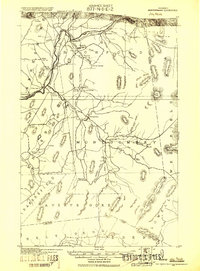
1919 · Montgomery
USGS Topo · 1:62,500
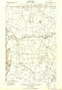
1920 · Franklin Pond
USGS Topo · 1:62,500
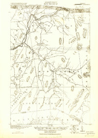
1920 · Montgomery
USGS Topo · 1:62,500
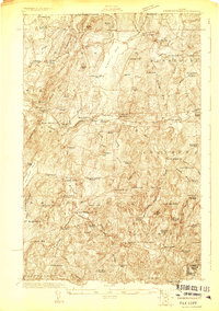
1922 · Enosburg Falls
USGS Topo · 1:48,000
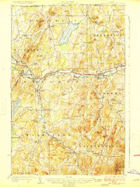
1924 · Enosburg Falls
USGS Topo · 1:62,500
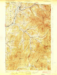
1925 · Jay Peak
USGS Topo · 1:62,500
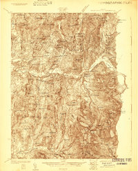
1925 · Mount Mansfield
USGS Topo · 1:48,000
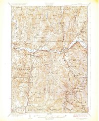
1927 · Mount Mansfield
USGS Topo · 1:62,500
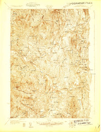
1927 · Hyde Park
USGS Topo · 1:48,000
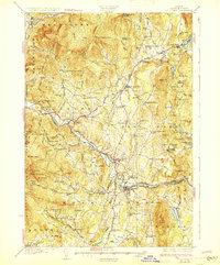
1930 · Hyde Park
USGS Topo · 1:62,500