2000s (21st Century) Maps of Cambridge, Vermont
Explore 30 historic maps of Cambridge from the 2000s (21st Century). These maps offer a rare glimpse into what life looked like during the 2000s — showing old roads, neighborhoods, homes, and landmarks that have changed or disappeared over time.
Whether you're researching your family's past, planning a metal detecting trip, or studying how Cambridge's landscape evolved across the 2000s, these high-resolution maps are a powerful tool for exploring the history of this region.
- Focus on a specific era: All maps on this page are from the 2000s, giving you a focused view of this time period.
- See what’s changed: Compare century-old streets, trails, and buildings to today's modern landscape using overlays and satellite layers.
- Research with precision: Use these maps for genealogy, historical research, land use analysis, or educational projects.
- View, download, or print: Maps are fully viewable online in high resolution, and can be downloaded or printed for your own records.
Start exploring Cambridge's history through authentic maps from the 2000s. This is your window into the past.
Cambridge, VT maps
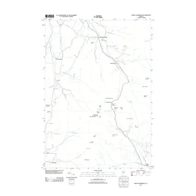
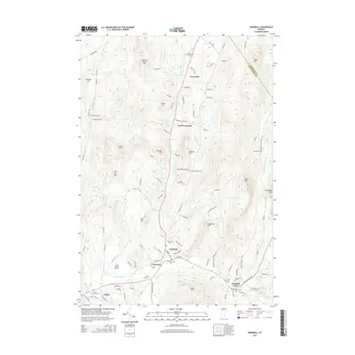
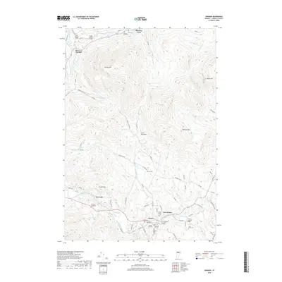
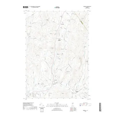
(30)- 2012 Map of Johnson, 2012 Print
 2012 Johnson2012 Print · USGSCovers Cambridge, including Johnson, Hyde Park, and other nearby areas
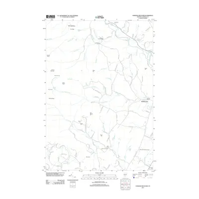
 - 2012 Map of Underhill, 2012 Print
 2012 Underhill2012 Print · USGSCovers Cambridge, including Essex, Jericho, and other nearby areas
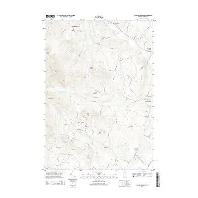
 - 2012 Map of Jeffersonville, 2012 Print
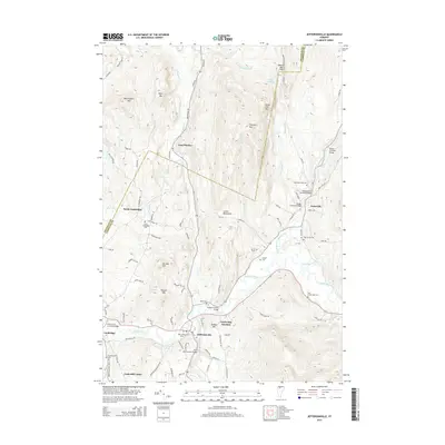
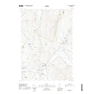
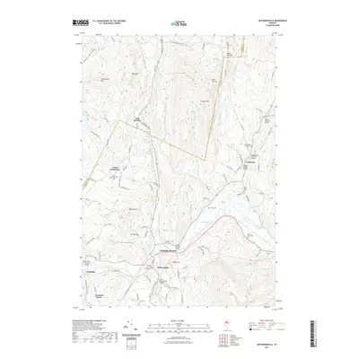
 2012 Jeffersonville2012 Print · USGSCovers Cambridge, including Cambridge Village, Johnson, and other nearby areas
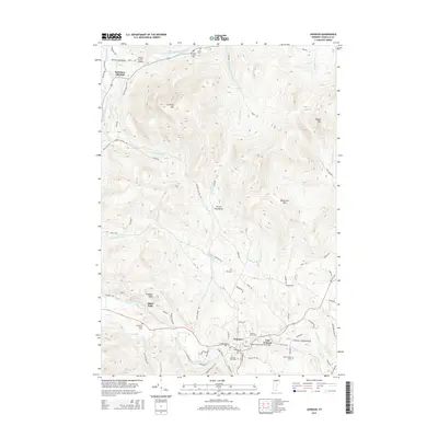
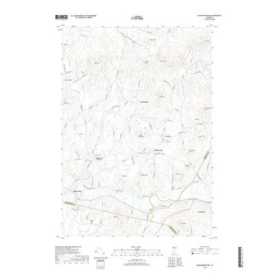
 - 2012 Map of Gilson Mountain, 2012 Print
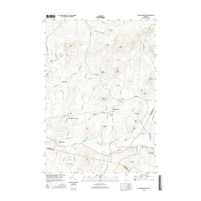
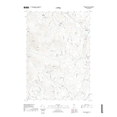
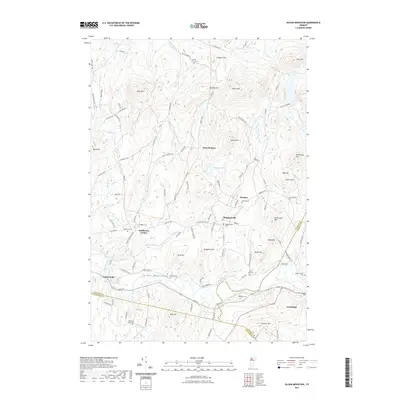
 2012 Gilson Mountain2012 Print · USGSCovers Cambridge, including Fairfax, Cambridge Village, and other nearby areas
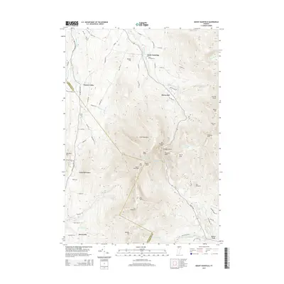
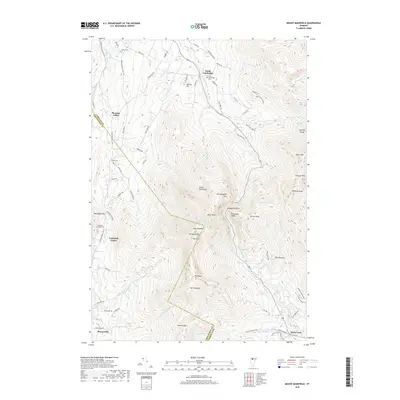
 - 2012 Map of Mount Mansfield, 2012 Print
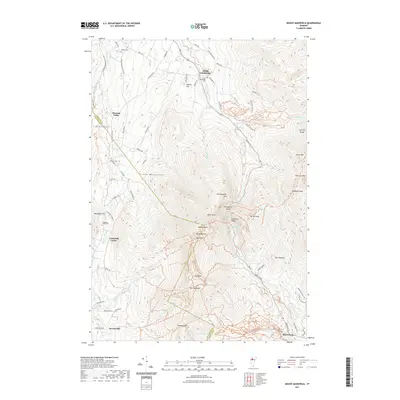
 2012 Mount Mansfield2012 Print · USGSCovers Cambridge, including Stowe, Underhill, and other nearby areas
 - 2012 Map of Sterling Mountain, 2012 Print
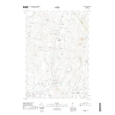
 2012 Sterling Mountain2012 Print · USGSCovers Cambridge, including Stowe, Johnson, and other nearby areas
 - 2015 Map of Sterling Mountain, 2015 Print
 2015 Sterling Mountain2015 Print · USGSCovers Cambridge, including Stowe, Johnson, and other nearby areas
 - 2015 Map of Johnson, 2015 Print
 2015 Johnson2015 Print · USGSCovers Cambridge, including Johnson, Hyde Park, and other nearby areas
 - 2015 Map of Gilson Mountain, 2015 Print
 2015 Gilson Mountain2015 Print · USGSCovers Cambridge, including Fairfax, Cambridge Village, and other nearby areas
 - 2015 Map of Jeffersonville, 2015 Print
 2015 Jeffersonville2015 Print · USGSCovers Cambridge, including Cambridge Village, Johnson, and other nearby areas
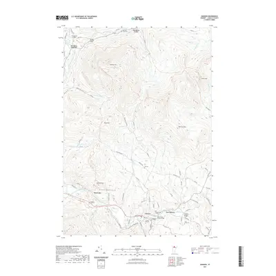
 - 2015 Map of Underhill, 2015 Print
 2015 Underhill2015 Print · USGSCovers Cambridge, including Essex, Jericho, and other nearby areas
 - 2015 Map of Mount Mansfield, 2015 Print
 2015 Mount Mansfield2015 Print · USGSCovers Cambridge, including Stowe, Underhill, and other nearby areas
 - 2018 Map of Mount Mansfield, 2018 Print
 2018 Mount Mansfield2018 Print · USGSCovers Cambridge, including Stowe, Underhill, and other nearby areas
 - 2018 Map of Jeffersonville, 2018 Print
 2018 Jeffersonville2018 Print · USGSCovers Cambridge, including Cambridge Village, Johnson, and other nearby areas
 - 2018 Map of Johnson, 2018 Print
 2018 Johnson2018 Print · USGSCovers Cambridge, including Johnson, Hyde Park, and other nearby areas
 - 2018 Map of Sterling Mountain, 2018 Print
 2018 Sterling Mountain2018 Print · USGSCovers Cambridge, including Stowe, Johnson, and other nearby areas
 - 2018 Map of Underhill, 2018 Print
 2018 Underhill2018 Print · USGSCovers Cambridge, including Essex, Jericho, and other nearby areas
 - 2018 Map of Gilson Mountain, 2018 Print
 2018 Gilson Mountain2018 Print · USGSCovers Cambridge, including Fairfax, Cambridge Village, and other nearby areas
 - 2021 Map of Sterling Mountain, 2021 Print
 2021 Sterling Mountain2021 Print · USGSCovers Cambridge, including Stowe, Johnson, and other nearby areas
 - 2021 Map of Johnson, 2021 Print
 2021 Johnson2021 Print · USGSCovers Cambridge, including Johnson, Hyde Park, and other nearby areas
 - 2021 Map of Jeffersonville, 2021 Print
 2021 Jeffersonville2021 Print · USGSCovers Cambridge, including Cambridge Village, Johnson, and other nearby areas
 - 2021 Map of Gilson Mountain, 2021 Print
 2021 Gilson Mountain2021 Print · USGSCovers Cambridge, including Fairfax, Cambridge Village, and other nearby areas
 - 2021 Map of Mount Mansfield, 2021 Print
 2021 Mount Mansfield2021 Print · USGSCovers Cambridge, including Stowe, Underhill, and other nearby areas
 - 2021 Map of Underhill, 2021 Print
 2021 Underhill2021 Print · USGSCovers Cambridge, including Essex, Jericho, and other nearby areas
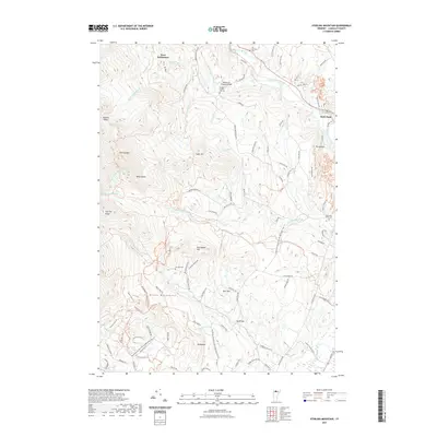
 - 2024 Map of Sterling Mountain, 2024 Print
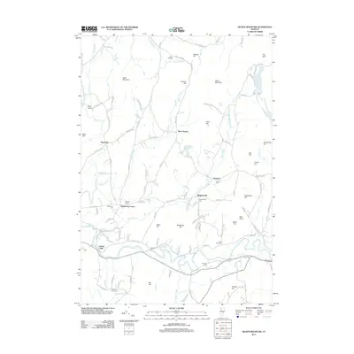
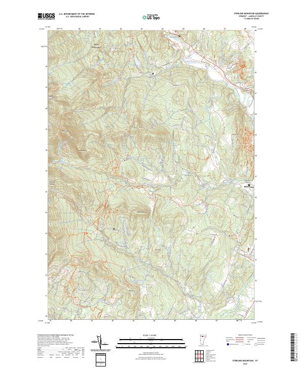 2024 Sterling Mountain2024 Print · USGSThe high ridges of the Green Mountains near Morristown are captured here in the 2020s, showing a terrain defined by both wilderness and old valley settlements. Genealogists and hikers can trace family-named sites like French Hill Cem, West Settlement, and the storied path of the Long Trl.
Showing maps 1-25 of 30
Top cities near Cambridge
- Essex historical maps
- Williston historical maps
- Swanton historical maps
- Waterbury historical maps
- Stowe historical maps
- Jericho historical maps
See more
Top neighborhoods of Cambridge
- North Cambridge historical maps
- South Cambridge historical maps
- Cambridge Junction historical maps
- Morses Mill historical maps
- Cambridge Village historical maps
- Jeffersonville historical maps
Frequently asked questions
- What are the different types of historical maps available for Cambridge?
- What is the oldest map of Cambridge?
- Where can I purchase historical maps of Cambridge for my home or office?
- Where can I download high-res historical maps of Cambridge?
- Are there historical topographic maps available for Cambridge?
- Is there historical aerial imagery available for Cambridge?
- Where are historical maps of Cambridge sourced from?