Old Maps of Copper Flat, Strafford for Hiking & Exploration
Hike through history with 13 historic maps of Copper Flat. Explore old trails, ghost towns, and forgotten backroads — perfect for outdoor adventurers and local explorers.
- Rediscover forgotten places: Map out old mining camps, roads, and footpaths that no longer exist on modern maps.
- Layer with modern tools: Combine with LiDAR or satellite views to plan hikes through historical terrain.
- Made for exploration: Popular among hikers, overlanders, and local history lovers.
Use these maps to find adventure and explore the hidden past of Copper Flat.
Copper Flat, Strafford maps
(13)- 1896 Map of Strafford
 1896 Strafford1896 Print · USGSOrange County and the upper White River valley are seen here during the height of the Vermont copper mining era. Local historians can locate specific operations like Copper Flat and Copperfield, or trace the rural landscape near South Strafford and Rices Mills.6 unique versions available
 - 1944 Map of Strafford, 1949 Print
 1944 Strafford1949 Print · USGSVermont's mining and rural heritage are frozen in time on this mid-century survey of the hills between the White and Ompompanoosuc Rivers. Genealogists and historians can trace the foundations of Strafford, locate the Joseph Smith Monument, or find industrial sites like the Elizabeth Mine.5 unique versions available
 - 1950 Map of Glens Falls
 1950 Glens Falls1950 Print · USGSThe Adirondacks and the Green Mountains meet in this mid-century survey of the New York and Vermont borderlands. Researchers can trace the industrial rail corridors of the Rutland RR and Delaware & Hudson RR connecting Glens Falls, Rutland, and the shores of Lake George.
 - 1956 Map of Glens Falls, 1968 Print
 1956 Glens Falls1968 Print · USGSUpper New York and the Vermont mountains are captured here in the mid-fifties, showing the rugged rail-and-river network of the Northeast. Researchers can trace the paths of the Delaware and Hudson RR and Rutland RR as they wind through valley towns like Poultney and Whitehall.3 unique versions available
 - 1959 Map of Glens Falls
 1959 Glens Falls1959 Print · USGSUpper New York and Vermont are captured here during the late 1950s, a period of transition for these mountain communities. Researchers can trace the legacy of the region's river-and-rail economy through landmarks like Lake George, Saratoga Springs, and Killington Peak.2 unique versions available
 - 1964 Map of Glens Falls
 1964 Glens Falls1964 Print · USGSThe tri-state borderlands of New York, Vermont, and New Hampshire appear here in the mid-1960s. Researchers can trace the rail routes of the Rutland RR and find historic sites like Ticonderoga and Saratoga National Historical Park.
 - 1981 Map of South Strafford
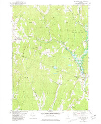 1981 South Strafford1981 Print · USGSThe rural uplands of Orange County come into focus in the early eighties, documenting a landscape shaped by mining and the Ompompanoosuc River. Researchers can trace the industrial footprint of the Elizabeth Mine, locate family plots at Kibling Cem, or find the Covered Bridge at Union Village.2 unique versions available
 - 1985 Map of Rutland, 1988 Print
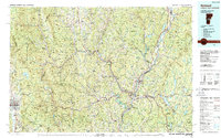 1985 Rutland1988 Print · USGSThe Upper Valley of the mid-1980s comes to life along the winding Connecticut River as it divides the Green Mountain and Granite states. Historians can trace the industrial rail hubs of White River Junction and the paths of the Appalachian Trail and Long Trail.
 - 2012 Map of South Strafford, 2012 Print
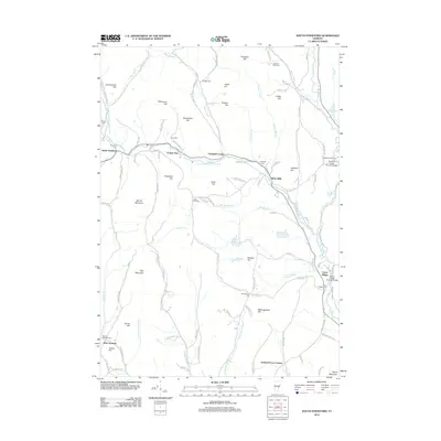 2012 South Strafford2012 Print · USGSEastern Vermont at the start of the 2010s remains a landscape of historic river crossings and hillside settlements. Genealogists and historians can locate numerous small burial grounds like Kibling Cem and landmark spans such as the Union Village Covered Bridge.
 - 2015 Map of South Strafford, 2015 Print
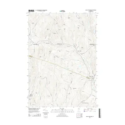 2015 South Strafford2015 Print · USGSVermont's rugged hills and river valleys are on full display in this 2015 record of the Orange and Windsor County border. Local historians can trace the paths between South Strafford and Thetford Center, locating landmarks like the Union Village Covered Bridge and the Sawnee Bean Cem.
 - 2018 Map of South Strafford, 2018 Print
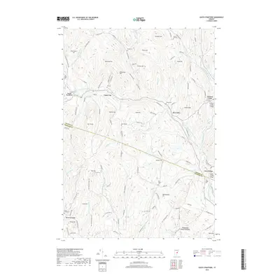 2018 South Strafford2018 Print · USGSThe Orange and Windsor county line cuts through this section of Vermont during the late twenty-teens, showing a landscape defined by the Ompompanoosuc River system. Researchers can trace historic local infrastructure and family ties through features like the Union Village Covered Bridge, Rices Mills, and Evergreen Cem.
 - 2021 Map of South Strafford, 2021 Print
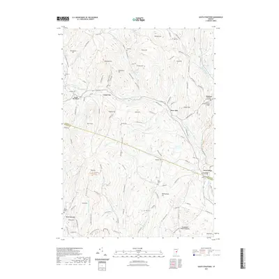 2021 South Strafford2021 Print · USGSThe Ompompanoosuc River valley in the early 2020s remains a landscape of historic villages and timber-framed spans. Genealogists and historians can locate numerous family burial grounds like Dow Cem or trace the reach of the Thetford Center Covered Bridge and Union Village Covered Bridge.
 - 2024 Map of South Strafford, 2024 Print
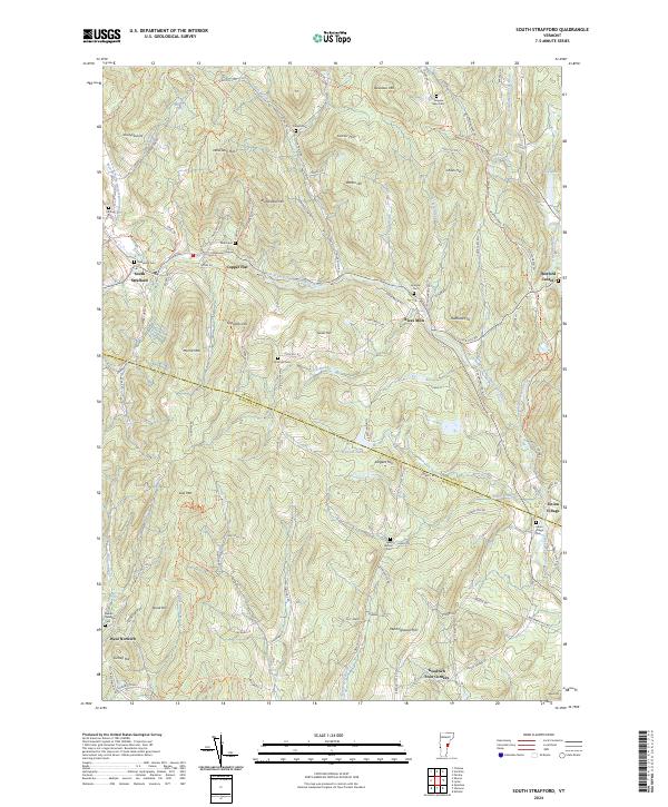 2024 South Strafford2024 Print · USGSVermont's rural landscape at the border of Orange and Windsor counties remains defined by its deep valleys and historic river settlements. Local historians can trace family lineages through numerous burial sites like Evergreen Cem and Kibling Cem, or explore the old road networks connecting Copper Flat and Rices Mills.
End of results
Showing maps 1-13 of 13
Top cities near Copper Flat
- Lebanon historical maps
- Hanover historical maps
- Hartford historical maps
- Randolph historical maps
- Enfield historical maps
- Williamstown historical maps
See more
Frequently asked questions
- What are the different types of historical maps available for Copper Flat?
- What is the oldest map of Copper Flat?
- Where can I purchase historical maps of Copper Flat for my home or office?
- Where can I download high-res historical maps of Copper Flat?
- Are there historical topographic maps available for Copper Flat?
- Is there historical aerial imagery available for Copper Flat?
- Where are historical maps of Copper Flat sourced from?