Old Maps of Derby, Vermont
Explore 45 old maps of Derby, spanning from 1919 to today. These high-resolution historic maps reveal how streets, neighborhoods, landmarks, and natural features evolved over time — perfect for genealogy, metal detecting, research, and local history exploration.
What you can do with these maps:
- See how Derby changed over time: Compare historical maps to modern-day views to trace roads, homesites, rail lines & more.
- View detailed metadata: Each map includes creators, publishers, year, scale, and archive source.
- Overlay maps with satellite & LiDAR: Visualize the past alongside modern tools to explore terrain & human change.
- Trusted historical sources: Maps sourced from the USGS, Library of Congress, and other archives.
- Access maps your way: View online, download high-res files, or order prints for personal or research use.
Start exploring old maps of Derby to uncover forgotten places, hidden landmarks, and the deep history beneath your feet.
Derby, VT maps
(45)- 1919 Map of Lake Memphremagog, 1920 Print
 1919 Lake Memphremagog1920 Print · USGSOrleans County, Vermont, sits at the international border following the Great War, showing a landscape defined by rail lines and lakefront commerce. Genealogists can locate family-named landmarks like Glines Corner, Hayes Corner, and the rural community of Brownington Village.
 - 1920 Map of Derby
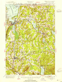
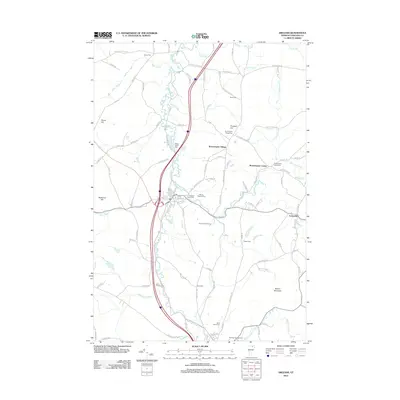
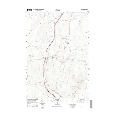
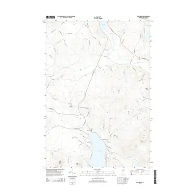
 1920 Derby1920 Print · USGSNorthern Vermont at the turn of the century shows a landscape of tight-knit border hamlets and lakeside rail hubs. Genealogists can trace family landmarks like Kingsbury Cor. and Hayes Corner or follow the tracks of the CANADIAN PACIFIC R.R. through Newport.
 - 1923 Map of Lake Memphremagog
 1923 Lake Memphremagog1923 Print · USGSOrleans County sits along the international border in the early 1920s, showing a landscape of hill farms and granite works. Genealogists can locate dozens of specific rural school sites like Morgan Gore School and vanished stations such as Coventry Station.
 - 1925 Map of Memphremagog
 1925 Memphremagog1925 Print · USGSThe international boundary and the shores of Lake Memphremagog define this Orleans County landscape in the mid-1920s. Researchers can trace the village life of Derby Line, find dozens of rural schools like Morgan Gore School, and locate the Willey Granite Quarry.4 unique versions available
 - 1950 Map of Lake Champlain
 1950 Lake Champlain1950 Print · USGSThe Lake Champlain valley and its surrounding peaks are captured in detail during the late 1940s, showing the vital rail and road connections between New York and Vermont. Researchers can trace the routes of the Central Vermont Railway or locate old industrial centers like Mineville and Witherbee.2 unique versions available
 - 1953 Map of Memphremagog, 1955 Print
 1953 Memphremagog1955 Print · USGSThe Vermont-Quebec borderlands come alive in this mid-century survey of the Northeast Kingdom, showing the region's rail-and-water commerce. Researchers can trace family roots at Brownington Village, find the Willey Granite Quarry, or locate the St Theresa Ch in Barton.5 unique versions available
 - 1958 Map of Lake Champlain
 1958 Lake Champlain1958 Print · USGSThe Champlain Valley and surrounding high peaks are captured here in the late fifties, showcasing the cross-border region from the Adirondacks to the Green Mountains. Researchers can trace historic rail routes like the Rutland Railway or locate old valley settlements such as Keeseville and Vergennes.2 unique versions available
 - 1962 Map of Lake Champlain, 1975 Print
 1962 Lake Champlain1975 Print · USGSLake Champlain and the high peaks of the Adirondacks and Green Mountains are captured here during the mid-twentieth century. Researchers can trace the industrial legacy of the Lyon Mountain Mine and the rail corridors of the Central Vermont RR and Delaware & Hudson RR.3 unique versions available
 - 1978 Map of Beebe Plain Station
 1978 Beebe Plain Station1978 Print · USGSIn the late seventies, the borderlands between Vermont and Quebec reveal a landscape deeply integrated across the international line. Researchers can trace the unique proximity of Beebe Plain Station U S Customs to the Quebec Central rail line and Comestock Mills.
 - 1978 Map of Derby Line Port of Entry
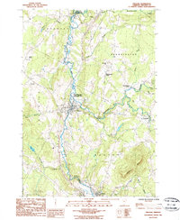
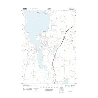
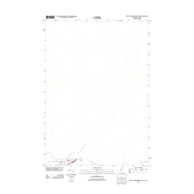
 1978 Derby Line Port of Entry1978 Print · USGSThe Vermont-Quebec border in the late seventies reveals the close-knit connection between Stanstead, Rock Island, and Derby Line. Genealogists and historians can trace family properties near Judge Mills, Tice, and across the slopes of Nelson Hill.
 - 1986 Map of Westmore
 1986 Westmore1986 Print · USGSOrleans County, Vermont, during the mid-1980s reveals a landscape defined by deep glacial waters and mountain ridges. Trace local genealogy and recreation history near Westmore and Lake Willoughby, or locate the Cem and Campgrounds in the Willoughby State Forest.2 unique versions available
 - 1986 Map of Orleans
 1986 Orleans1986 Print · USGSOrleans County in the mid-eighties shows a landscape of river-valley settlements and dairy-country hills. Genealogists and hikers can trace the geography of Orleans, Brownington Village, and the slopes of Barton Mtn near the Willoughby River.
 - 1986 Map of West Charleston, 1987 Print
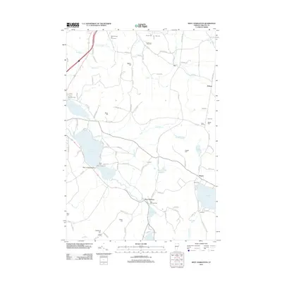
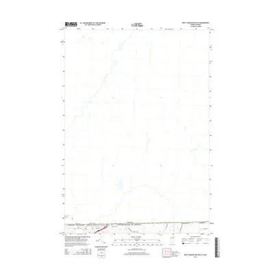
 1986 West Charleston1987 Print · USGSThe international border at Derby Line meets the Vermont highlands in the mid-1980s, showcasing a landscape of interconnected glacial lakes and upland farms. Researchers can trace historical property lines and water features from Lake Salem and Seymour Lake to the rural crossroads of Holland.2 unique versions available
 - 1986 Map of Newport, 1987 Print
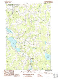
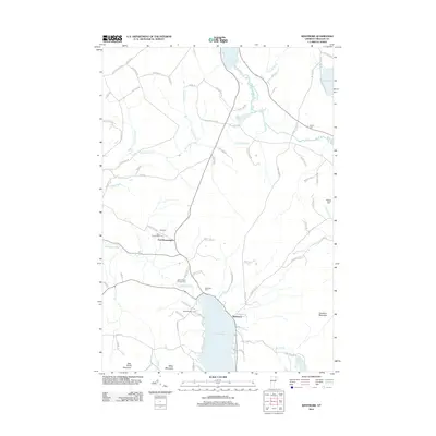
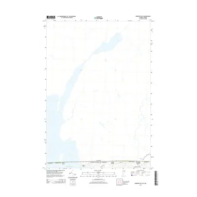
 1986 Newport1987 Print · USGSOrleans County, Vermont, sits along the Canadian border in the mid-1980s, where the city of Newport anchors the southern tip of Lake Memphremagog. Researchers can trace old lakeside settlements like Beebe Plain and North Derby or locate landmarks such as the Newport Stake Light and Clyde Pond.2 unique versions available
 - 1989 Map of Mount Mansfield
 1989 Mount Mansfield1989 Print · USGSNorthern Vermont in the late eighties remains a landscape of deep forests and isolated mountain villages. Genealogists and hikers can trace the old rail lines of the Canadian Pacific RR or locate family sites near Lake Willoughby and Brownington Village.
 - 2012 Map of Orleans, 2012 Print
 2012 Orleans2012 Print · USGSCovers Derby, including Barton, Irasburg, and other nearby areas
 - 2012 Map of Westmore, 2012 Print
 2012 Westmore2012 Print · USGSCovers Derby, including Barton, Westmore, and other nearby areas
 - 2012 Map of West Charleston, 2012 Print
 2012 West Charleston2012 Print · USGSCovers Derby, including Derby Line, Morgan, and other nearby areas
 - 2012 Map of Newport, 2012 Print
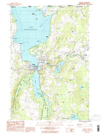
 2012 Newport2012 Print · USGSCovers Derby, including Newport City, Newport, and other nearby areas
 - 2012 Map of Newport OE N, 2012 Print
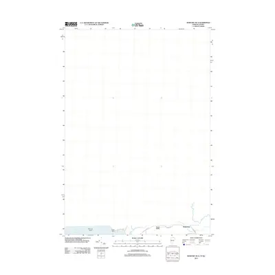 2012 Newport OE N2012 Print · USGSCovers Derby, including Stanstead (Ville), Newport Town, and other nearby areas
 - 2012 Map of West Charleston OE N, 2012 Print
 2012 West Charleston OE N2012 Print · USGSCovers Derby, including Stanstead, Stanstead (Ville), and other nearby areas
 - 2015 Map of Orleans, 2015 Print
 2015 Orleans2015 Print · USGSCovers Derby, including Barton, Irasburg, and other nearby areas
 - 2015 Map of West Charleston OE N, 2015 Print
 2015 West Charleston OE N2015 Print · USGSCovers Derby, including Stanstead, Stanstead (Ville), and other nearby areas
 - 2015 Map of Westmore, 2015 Print
 2015 Westmore2015 Print · USGSCovers Derby, including Barton, Westmore, and other nearby areas
 - 2015 Map of Newport OE N, 2015 Print
 2015 Newport OE N2015 Print · USGSCovers Derby, including Stanstead (Ville), Newport Town, and other nearby areas
Showing maps 1-25 of 45
Top cities near Derby
- Newport historical maps
- Newport City historical maps
- Barton historical maps
- Craftsbury historical maps
- Irasburg historical maps
- Glover historical maps
See more
Top neighborhoods of Derby
- Lake Park historical maps
- North Derby historical maps
- Lindsay Beach historical maps
- Beebe Plain historical maps
- Derby Line historical maps
- Derby Center historical maps
Frequently asked questions
- What are the different types of historical maps available for Derby?
- What is the oldest map of Derby?
- Where can I purchase historical maps of Derby for my home or office?
- Where can I download high-res historical maps of Derby?
- Are there historical topographic maps available for Derby?
- Is there historical aerial imagery available for Derby?
- Where are historical maps of Derby sourced from?