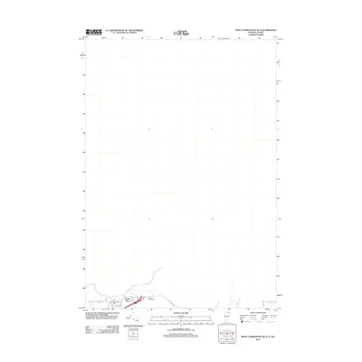
2012 Map of West Charleston OE N
USGS Topo · Published 2012About this map
Derby Line sits at the southern edge of this international borderlands survey, marking a primary crossing point between Vermont and Quebec. This 2012 map captures the immediate vicinity of the boundary line, where the local road network, including Holland Rd and Elm St, services the clustered community and the Po. The landscape is sparse, defined largely by the few family and community burial grounds that dot the area near the border, such as Cowles Chace Cem, Fortin Cem, and Derby Line Cem. These sites provide critical reference points for genealogists tracking families in this specific corner of Orleans County where international transit and local rural history meet.
Find a feature on this map
9 named features on this map. Tap any name to fly to it.
Don’t see what you’re looking for? This feature index may not catch every label — zoom into the map to look around manually.
Map Details
Editions of this 2012 West Charleston OE N Map
This is the sole edition of this map. No revisions or reprints were ever made.
Other maps of this area

1919 · Lake Memphremagog
USGS Topo · 1:62,500

1920 · Derby
USGS Topo · 1:62,500

1923 · Lake Memphremagog
USGS Topo · 1:48,000

1924 · Island Pond
USGS Topo · 1:48,000

1925 · Memphremagog
USGS Topo · 1:62,500

1926 · Island Pond
USGS Topo · 1:62,500

1949 · Jackman
USGS Topo · 1:250,000

1950 · Lake Champlain
USGS Topo · 1:250,000

1950 · Lewiston
USGS Topo · 1:250,000

1953 · Island Pond
USGS Topo · 1:62,500