2000s (21st Century) Maps of Killington, Vermont
Explore 20 historic maps of Killington from the 2000s (21st Century). These maps offer a rare glimpse into what life looked like during the 2000s — showing old roads, neighborhoods, homes, and landmarks that have changed or disappeared over time.
Whether you're researching your family's past, planning a metal detecting trip, or studying how Killington's landscape evolved across the 2000s, these high-resolution maps are a powerful tool for exploring the history of this region.
- Focus on a specific era: All maps on this page are from the 2000s, giving you a focused view of this time period.
- See what’s changed: Compare century-old streets, trails, and buildings to today's modern landscape using overlays and satellite layers.
- Research with precision: Use these maps for genealogy, historical research, land use analysis, or educational projects.
- View, download, or print: Maps are fully viewable online in high resolution, and can be downloaded or printed for your own records.
Start exploring Killington's history through authentic maps from the 2000s. This is your window into the past.
Killington, VT maps
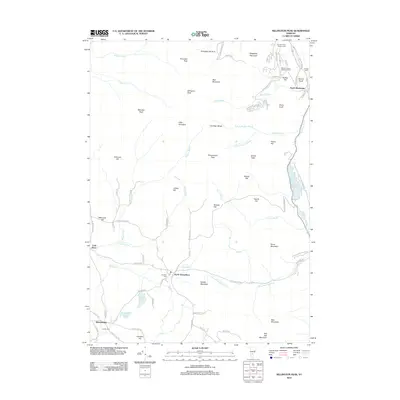
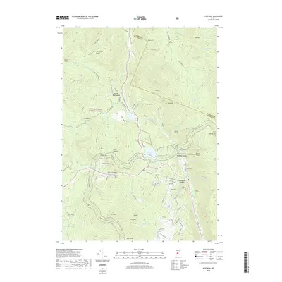
(20)- 2012 Map of Plymouth, 2012 Print
 2012 Plymouth2012 Print · USGSCovers Killington, including Woodstock, Bridgewater, and other nearby areas
 - 2012 Map of Killington Peak, 2012 Print
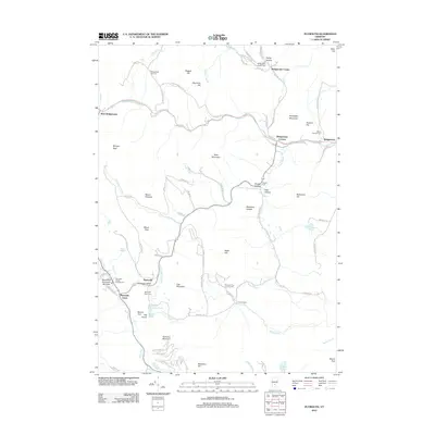
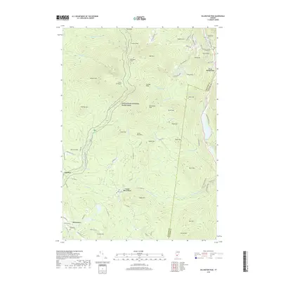
 2012 Killington Peak2012 Print · USGSCovers Killington, including Mendon, Shrewsbury, and other nearby areas
 - 2012 Map of Pico Peak, 2012 Print
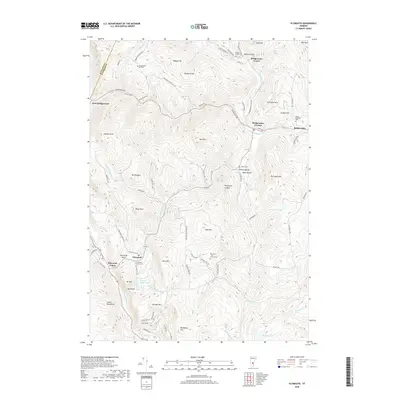
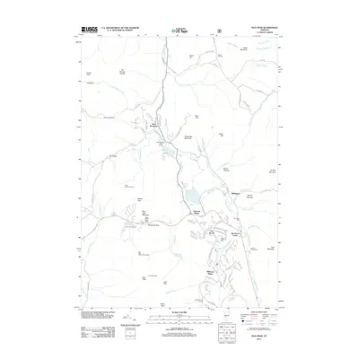 2012 Pico Peak2012 Print · USGSCovers Killington, including Chittenden, Mendon, and other nearby areas
 - 2012 Map of Delectable Mountain, 2012 Print
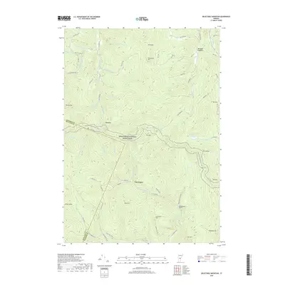
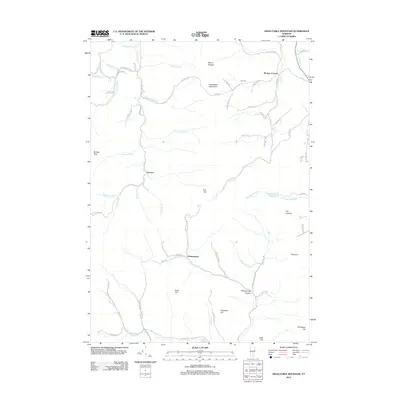 2012 Delectable Mountain2012 Print · USGSCovers Killington, including Barnard, Bridgewater, and other nearby areas
 - 2015 Map of Killington Peak, 2015 Print
 2015 Killington Peak2015 Print · USGSCovers Killington, including Mendon, Shrewsbury, and other nearby areas
 - 2015 Map of Delectable Mountain, 2015 Print
 2015 Delectable Mountain2015 Print · USGSCovers Killington, including Barnard, Bridgewater, and other nearby areas
 - 2015 Map of Pico Peak, 2015 Print
 2015 Pico Peak2015 Print · USGSCovers Killington, including Chittenden, Mendon, and other nearby areas
 - 2015 Map of Plymouth, 2015 Print
 2015 Plymouth2015 Print · USGSCovers Killington, including Woodstock, Bridgewater, and other nearby areas
 - 2018 Map of Delectable Mountain, 2018 Print
 2018 Delectable Mountain2018 Print · USGSCovers Killington, including Barnard, Bridgewater, and other nearby areas
 - 2018 Map of Killington Peak, 2018 Print
 2018 Killington Peak2018 Print · USGSCovers Killington, including Mendon, Shrewsbury, and other nearby areas
 - 2018 Map of Pico Peak, 2018 Print
 2018 Pico Peak2018 Print · USGSCovers Killington, including Chittenden, Mendon, and other nearby areas
 - 2018 Map of Plymouth, 2018 Print
 2018 Plymouth2018 Print · USGSCovers Killington, including Woodstock, Bridgewater, and other nearby areas
 - 2021 Map of Killington Peak, 2021 Print
 2021 Killington Peak2021 Print · USGSCovers Killington, including Mendon, Shrewsbury, and other nearby areas
 - 2021 Map of Plymouth, 2021 Print
 2021 Plymouth2021 Print · USGSCovers Killington, including Woodstock, Bridgewater, and other nearby areas
 - 2021 Map of Delectable Mountain, 2021 Print
 2021 Delectable Mountain2021 Print · USGSCovers Killington, including Barnard, Bridgewater, and other nearby areas
 - 2021 Map of Pico Peak, 2021 Print
 2021 Pico Peak2021 Print · USGSCovers Killington, including Chittenden, Mendon, and other nearby areas
 - 2024 Map of Plymouth, 2024 Print
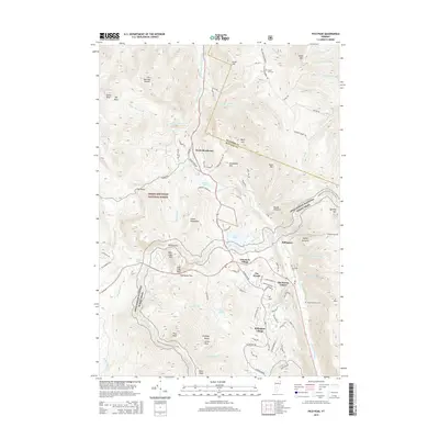
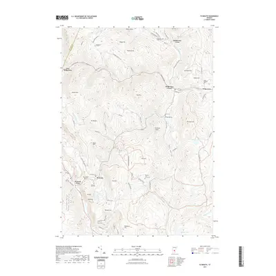
 2024 Plymouth2024 Print · USGSThe Green Mountains of Windsor County are shown here in modern detail, covering the historic clusters of Plymouth Notch and Bridgewater Center. Researchers can trace old family burial sites at Topliff Cem or follow the path of the Ottauquechee River.
 - 2024 Map of Delectable Mountain, 2024 Print
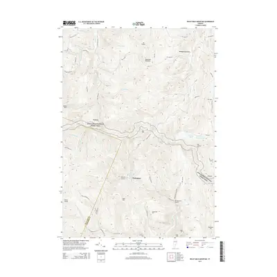
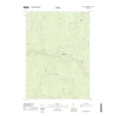
 2024 Delectable Mountain2024 Print · USGSHigh in the Green Mountains of Windsor County, this recent survey captures a landscape of remote hollows and high-elevation trails. Genealogists and hikers can trace the paths between Notown, Chateauguay, and Nye Cem along the Appalachian National Scenic Trail.
 - 2024 Map of Killington Peak, 2024 Print
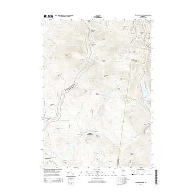
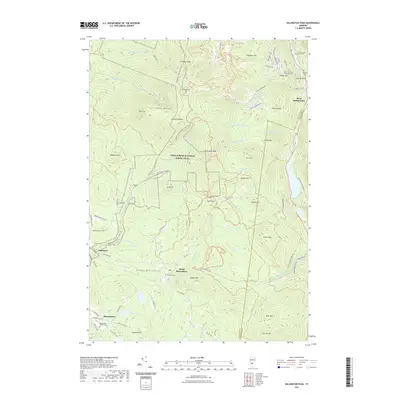
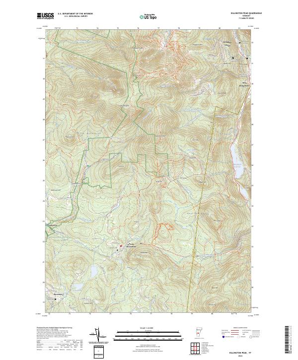 2024 Killington Peak2024 Print · USGSThe Green Mountains of Rutland and Windsor counties come into focus here during the early twenty-first century. Researchers can trace family sites near North Shrewsbury and Spruce Knoll, or locate several mountain cemeteries including Hillside Cem and Northam Cem.
 - 2024 Map of Pico Peak, 2024 Print
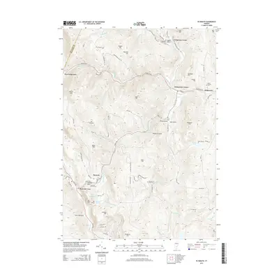
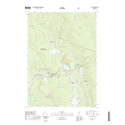
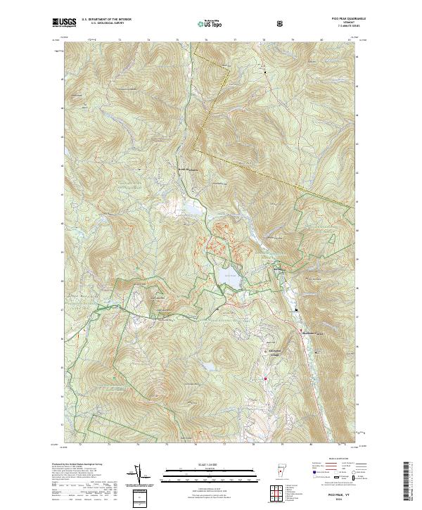 2024 Pico Peak2024 Print · USGSThe Green Mountains of Vermont come alive in this modern survey of the high peaks and valley settlements. Genealogists and historians can trace the locations of the Anthony Family Cemetery and S Hill Cemetery near Killington Village and Sherburne Center.
End of results
Showing maps 1-20 of 20
Top cities near Killington
- Rutland City historical maps
- Randolph historical maps
- Brandon historical maps
- Woodstock historical maps
- Royalton historical maps
- Clarendon historical maps
See more
Top neighborhoods of Killington
- Killington Village historical maps
- South Sherburne historical maps
- Telemark Village historical maps
- The Woods historical maps
- North Sherburne historical maps
- Sherburne Center historical maps
Frequently asked questions
- What are the different types of historical maps available for Killington?
- What is the oldest map of Killington?
- Where can I purchase historical maps of Killington for my home or office?
- Where can I download high-res historical maps of Killington?
- Are there historical topographic maps available for Killington?
- Is there historical aerial imagery available for Killington?
- Where are historical maps of Killington sourced from?