2000s (21st Century) Maps of Rutland Town, Vermont
Explore 20 historic maps of Rutland Town from the 2000s (21st Century). These maps offer a rare glimpse into what life looked like during the 2000s — showing old roads, neighborhoods, homes, and landmarks that have changed or disappeared over time.
Whether you're researching your family's past, planning a metal detecting trip, or studying how Rutland Town's landscape evolved across the 2000s, these high-resolution maps are a powerful tool for exploring the history of this region.
- Focus on a specific era: All maps on this page are from the 2000s, giving you a focused view of this time period.
- See what’s changed: Compare century-old streets, trails, and buildings to today's modern landscape using overlays and satellite layers.
- Research with precision: Use these maps for genealogy, historical research, land use analysis, or educational projects.
- View, download, or print: Maps are fully viewable online in high resolution, and can be downloaded or printed for your own records.
Start exploring Rutland Town's history through authentic maps from the 2000s. This is your window into the past.
Rutland Town, VT maps
(20)- 2012 Map of Proctor, 2012 Print
 2012 Proctor2012 Print · USGSCovers Rutland Town, including Rutland City, West Rutland, and other nearby areas
 - 2012 Map of Chittenden, 2012 Print
 2012 Chittenden2012 Print · USGSCovers Rutland Town, including Rutland City, Chittenden, and other nearby areas
 - 2012 Map of West Rutland, 2012 Print
 2012 West Rutland2012 Print · USGSCovers Rutland Town, including Rutland City, Poultney, and other nearby areas
 - 2012 Map of Rutland, 2012 Print
 2012 Rutland2012 Print · USGSCovers Rutland Town, including Rutland City, Clarendon, and other nearby areas
 - 2015 Map of Proctor, 2015 Print
 2015 Proctor2015 Print · USGSCovers Rutland Town, including Rutland City, West Rutland, and other nearby areas
 - 2015 Map of Chittenden, 2015 Print
 2015 Chittenden2015 Print · USGSCovers Rutland Town, including Rutland City, Chittenden, and other nearby areas
 - 2015 Map of West Rutland, 2015 Print
 2015 West Rutland2015 Print · USGSCovers Rutland Town, including Rutland City, Poultney, and other nearby areas
 - 2015 Map of Rutland, 2015 Print
 2015 Rutland2015 Print · USGSCovers Rutland Town, including Rutland City, Clarendon, and other nearby areas
 - 2018 Map of West Rutland, 2018 Print
 2018 West Rutland2018 Print · USGSCovers Rutland Town, including Rutland City, Poultney, and other nearby areas
 - 2018 Map of Proctor, 2018 Print
 2018 Proctor2018 Print · USGSCovers Rutland Town, including Rutland City, West Rutland, and other nearby areas
 - 2018 Map of Chittenden, 2018 Print
 2018 Chittenden2018 Print · USGSCovers Rutland Town, including Rutland City, Chittenden, and other nearby areas
 - 2018 Map of Rutland, 2018 Print
 2018 Rutland2018 Print · USGSCovers Rutland Town, including Rutland City, Clarendon, and other nearby areas
 - 2021 Map of Proctor, 2021 Print
 2021 Proctor2021 Print · USGSCovers Rutland Town, including Rutland City, West Rutland, and other nearby areas
 - 2021 Map of West Rutland, 2021 Print
 2021 West Rutland2021 Print · USGSCovers Rutland Town, including Rutland City, Poultney, and other nearby areas
 - 2021 Map of Chittenden, 2021 Print
 2021 Chittenden2021 Print · USGSCovers Rutland Town, including Rutland City, Chittenden, and other nearby areas
 - 2021 Map of Rutland, 2021 Print
 2021 Rutland2021 Print · USGSCovers Rutland Town, including Rutland City, Clarendon, and other nearby areas
 - 2024 Map of West Rutland, 2024 Print
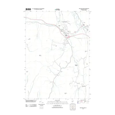
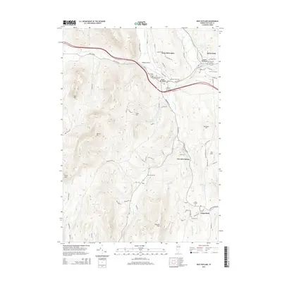
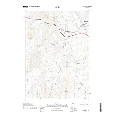
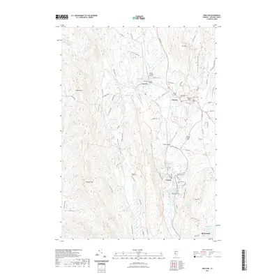
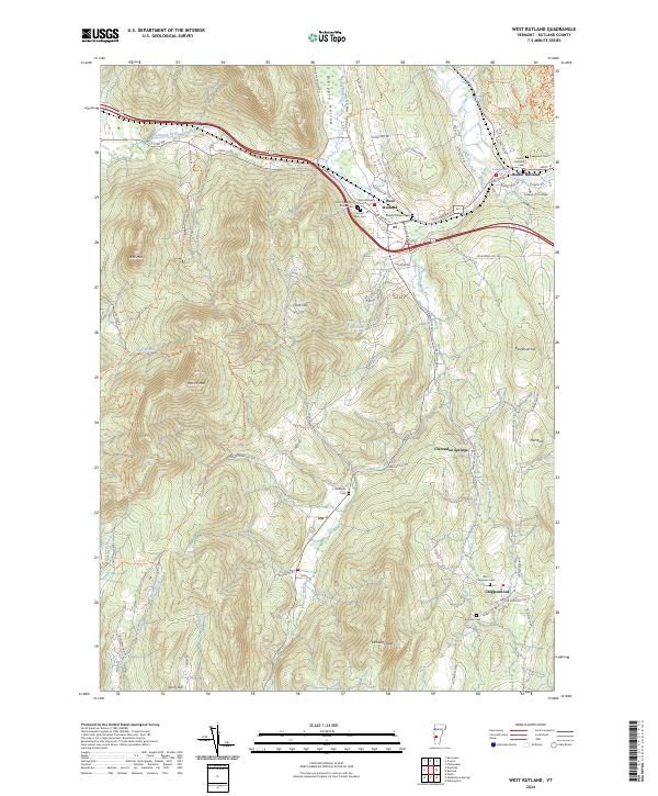 2024 West Rutland2024 Print · USGSThe Rutland area in the early twenty-first century is a landscape of established mountain hamlets and historic valley settlements. Genealogists can trace local roots at Saint Stanislaus Kostka Cem, Evergreen Cem, or the College of St Joseph.
 - 2024 Map of Chittenden, 2024 Print
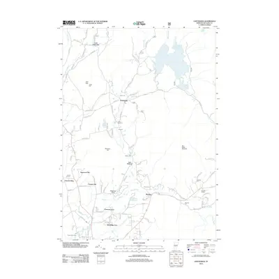
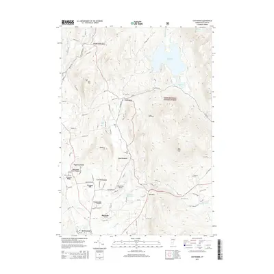
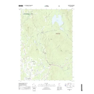
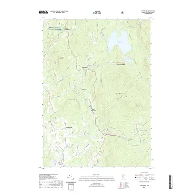
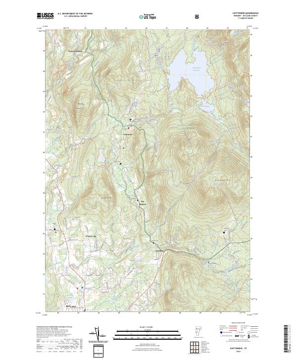 2024 Chittenden2024 Print · USGSRutland County's high terrain and mountain reservoirs are captured here in the contemporary era. Genealogists and local historians can trace family ties through several remote burial sites like Horton Cem and the settlement at North Chittenden.
 - 2024 Map of Rutland, 2024 Print
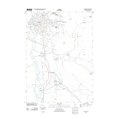
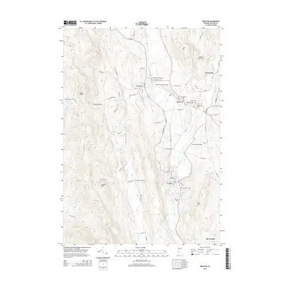
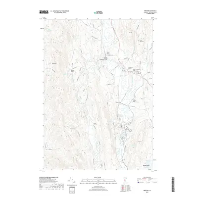
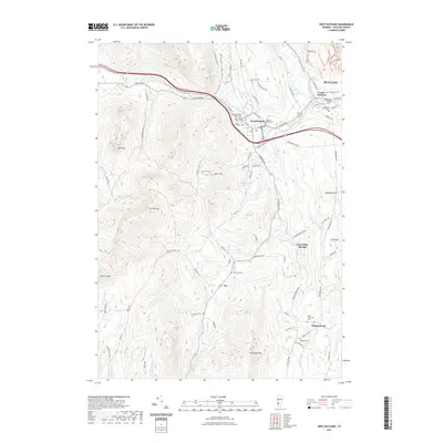
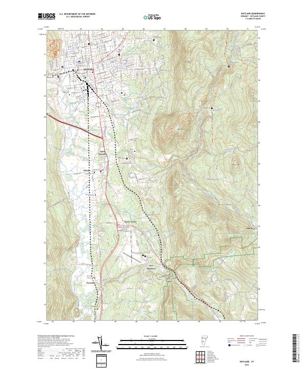 2024 Rutland2024 Print · USGSRutland and the Otter Creek valley are shown in the mid-2020s, highlighting the area's mix of urban centers and mountain trails. Genealogists can locate numerous burial sites like Clarendon Flats Cem and Wilkins Cem while tracing the Vermont Railway through East Clarendon.
 - 2024 Map of Proctor, 2024 Print
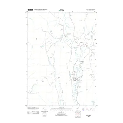
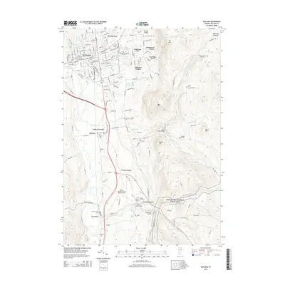
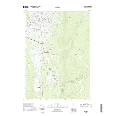
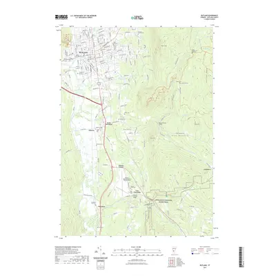
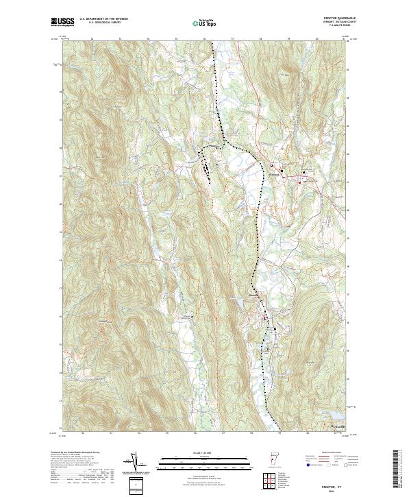 2024 Proctor2024 Print · USGSRutland County's industrial and mountain landscape comes into focus in this contemporary survey of the marble valley and the Green Mountains. Researchers can trace historic cemeteries like the Congregational Burial Yard, quarry sites at Troy Minerals, and the landmark Sutherland Falls.
End of results
Showing maps 1-20 of 20
Top cities near Rutland Town
- Rutland City historical maps
- Brandon historical maps
- Poultney historical maps
- Clarendon historical maps
- Ludlow historical maps
- Wallingford historical maps
See more
Top neighborhoods of Rutland Town
- Green Acres historical maps
- Killington Heights historical maps
- Bassett Development historical maps
- Pinecrest Acres historical maps
- Prospect Hill historical maps
- Sugarwood Hill historical maps
See more
Frequently asked questions
- What are the different types of historical maps available for Rutland Town?
- What is the oldest map of Rutland Town?
- Where can I purchase historical maps of Rutland Town for my home or office?
- Where can I download high-res historical maps of Rutland Town?
- Are there historical topographic maps available for Rutland Town?
- Is there historical aerial imagery available for Rutland Town?
- Where are historical maps of Rutland Town sourced from?