Old Maps of Rutland Town, Vermont for Genealogy
Trace your family roots with 38 historic maps of Rutland Town. These high-res maps reveal old neighborhoods, homesites, landmarks, and streets — helping you uncover where your ancestors lived and how the area evolved over time.
- Explore historic neighborhoods: Identify where your relatives may have lived in the 1800s or 1900s.
- Compare maps over time: Trace the changes in streets, buildings, and landmarks for multi-generational research.
- Perfect for genealogy & ancestry research: Used by family historians and researchers to map out lineage and migration.
These maps are an incredible resource for exploring your personal connection to Rutland Town's past.
Rutland Town, VT maps
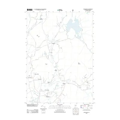
(38)- 1891 Map of Rutland, 1956 Print
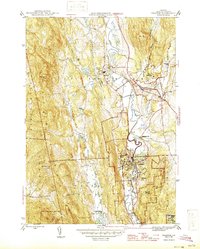
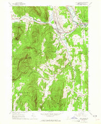
 1891 Rutland1956 Print · USGSRutland and its surrounding mountain townships appear here during the expansion of the rail era in the late nineteenth century. Genealogists and historians can trace the early rail networks of the Central Vermont Railroad or locate family roots in communities like North Chittenden, East Pittsford, and Mendon.
 - 1893 Map of Rutland
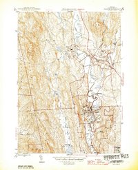
 1893 Rutland1893 Print · USGSThe rail hub of the Green Mountains thrives in the 1890s as several lines converge in the valley below the great peaks. Researchers can trace the early rail stops at Cold River Sta. or locate high-altitude settlements like North Chittenden and North Sherburne.8 unique versions available
 - 1895 Map of Castleton, 1960 Print
 1895 Castleton1960 Print · USGSRutland County's rugged terrain and valley settlements are captured here in the late nineteenth century, showing a landscape defined by mountain peaks and rail lines. You can trace the path of the Delaware and Hudson RR and locate vanished hamlets like Gothantown and Blissville.
 - 1897 Map of Castleton
 1897 Castleton1897 Print · USGSRutland County's industrial and agricultural heartland is captured here at the close of the nineteenth century. Researchers can trace historic rail routes like the Clarendon and Pittsford R. R. or locate family homesteads near Lake Bomoseen and Clarendon Springs.9 unique versions available
 - 1944 Map of Proctor
 1944 Proctor1944 Print · USGSRutland County's industrial and social landscape is captured here in the mid-1940s as rail lines and river valleys define local life. Genealogists and researchers can trace local landmarks like Riverside Cem, Vermont Sanatorium, and the Gorham Bridge crossing.3 unique versions available
 - 1946 Map of Proctor
 1946 Proctor1946 Print · USGSThe marble industrial center of Proctor and the neighboring town of Pittsford are shown here in the mid-1940s. Genealogists and historians can trace the locations of Riverside Cem, the Vermont Sanatorium, and local landmarks like Gorham Bridge.
 - 1950 Map of Glens Falls
 1950 Glens Falls1950 Print · USGSThe Adirondacks and the Green Mountains meet in this mid-century survey of the New York and Vermont borderlands. Researchers can trace the industrial rail corridors of the Rutland RR and Delaware & Hudson RR connecting Glens Falls, Rutland, and the shores of Lake George.
 - 1956 Map of Glens Falls, 1968 Print
 1956 Glens Falls1968 Print · USGSUpper New York and the Vermont mountains are captured here in the mid-fifties, showing the rugged rail-and-river network of the Northeast. Researchers can trace the paths of the Delaware and Hudson RR and Rutland RR as they wind through valley towns like Poultney and Whitehall.3 unique versions available
 - 1959 Map of Glens Falls
 1959 Glens Falls1959 Print · USGSUpper New York and Vermont are captured here during the late 1950s, a period of transition for these mountain communities. Researchers can trace the legacy of the region's river-and-rail economy through landmarks like Lake George, Saratoga Springs, and Killington Peak.2 unique versions available
 - 1961 Map of Chittenden, 1964 Print
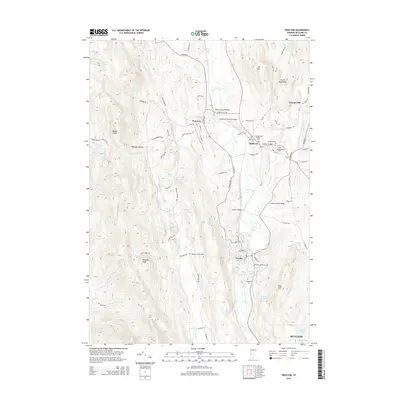
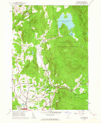 1961 Chittenden1964 Print · USGSThe Green Mountains of central Vermont appear here in the early sixties, showing the vital water systems and forests surrounding the Chittenden valley. Genealogists can locate family landmarks like Horton Cem, Baird Cem, and the Barstow Sch among the timbered ridges.5 unique versions available
 - 1961 Map of Rutland, 1964 Print
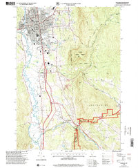
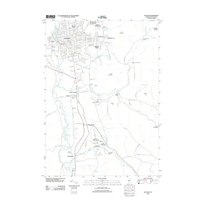
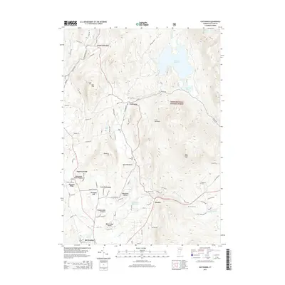
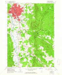 1961 Rutland1964 Print · USGSRutland at the start of the 1960s was a bustling rail and civic hub defined by its transition from urban streets to the Green Mountains. Researchers can trace the mid-century city layout, numerous neighborhood schools, and rural landmarks like the Appalachian Long Trail, Union Chapel, and Old Marsh Cem.5 unique versions available
 - 1964 Map of Glens Falls
 1964 Glens Falls1964 Print · USGSThe tri-state borderlands of New York, Vermont, and New Hampshire appear here in the mid-1960s. Researchers can trace the rail routes of the Rutland RR and find historic sites like Ticonderoga and Saratoga National Historical Park.
 - 1964 Map of West Rutland, 1965 Print
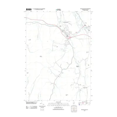
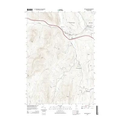
 1964 West Rutland1965 Print · USGSRutland County's industrial and rural character is preserved here in the mid-1960s. Genealogists and historians can trace the rail lines of the Delaware and Hudson Railroad and find long-established sites like Clarendon Springs and Edmunds Cem.4 unique versions available
 - 1985 Map of Rutland, 1988 Print
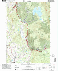
 1985 Rutland1988 Print · USGSThe Upper Valley of the mid-1980s comes to life along the winding Connecticut River as it divides the Green Mountain and Granite states. Historians can trace the industrial rail hubs of White River Junction and the paths of the Appalachian Trail and Long Trail.
 - 1986 Map of Ticonderoga
 1986 Ticonderoga1986 Print · USGSThe Lake Champlain valley in the mid-eighties shows a landscape defined by Revolutionary War history and deep wilderness. Researchers can trace the Delaware and Hudson RR through the mountains or locate local landmarks like Fort Ticonderoga, St. Genevieve Cem, and the Ore Bed.
 - 1989 Map of Ticonderoga
 1989 Ticonderoga1989 Print · USGSThe Champlain Valley and Adirondack foothills meet in the late eighties, documenting a historic borderland defined by mountain lakes and timber. Genealogists and historians can trace the paths of the Delaware and Hudson RR or locate the Hubbardton Battlefield State Historic Site.2 unique versions available
 - 1996 Map of Rutland, 2000 Print
 1996 Rutland2000 Print · USGSRutland and the Otter Creek valley are shown here in the mid-1990s, capturing the city alongside its rural foothills. Genealogists and local historians can trace family landmarks and civic sites like the Riverside Reformatory, Union Chapel, and Mount St Joseph Academy.
 - 1997 Map of Chittenden, 2000 Print
 1997 Chittenden2000 Print · USGSVermont's Green Mountains reveal a landscape of high-elevation reservoirs and small upland settlements during the late nineties. Researchers can trace local history through sites like the Pittsford National Fish Hatchery, the Barstow Sch, and family burial grounds including Horton Cem.
 - 2012 Map of Proctor, 2012 Print
 2012 Proctor2012 Print · USGSCovers Rutland Town, including Rutland City, West Rutland, and other nearby areas
 - 2012 Map of Chittenden, 2012 Print
 2012 Chittenden2012 Print · USGSCovers Rutland Town, including Rutland City, Chittenden, and other nearby areas
 - 2012 Map of West Rutland, 2012 Print
 2012 West Rutland2012 Print · USGSCovers Rutland Town, including Rutland City, Poultney, and other nearby areas
 - 2012 Map of Rutland, 2012 Print
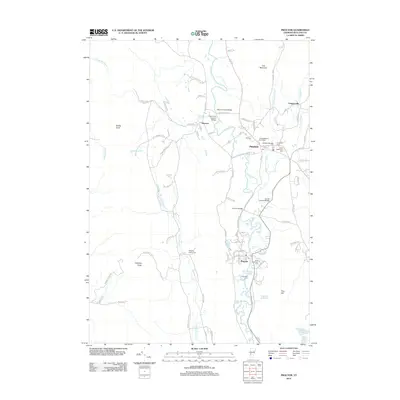
 2012 Rutland2012 Print · USGSCovers Rutland Town, including Rutland City, Clarendon, and other nearby areas
 - 2015 Map of Proctor, 2015 Print
 2015 Proctor2015 Print · USGSCovers Rutland Town, including Rutland City, West Rutland, and other nearby areas
 - 2015 Map of Chittenden, 2015 Print
 2015 Chittenden2015 Print · USGSCovers Rutland Town, including Rutland City, Chittenden, and other nearby areas
 - 2015 Map of West Rutland, 2015 Print
 2015 West Rutland2015 Print · USGSCovers Rutland Town, including Rutland City, Poultney, and other nearby areas
Showing maps 1-25 of 38
Top cities near Rutland Town
- Rutland City historical maps
- Brandon historical maps
- Poultney historical maps
- Clarendon historical maps
- Ludlow historical maps
- Wallingford historical maps
See more
Top neighborhoods of Rutland Town
- Green Acres historical maps
- Killington Heights historical maps
- Bassett Development historical maps
- Pinecrest Acres historical maps
- Prospect Hill historical maps
- Sugarwood Hill historical maps
See more
Frequently asked questions
- What are the different types of historical maps available for Rutland Town?
- What is the oldest map of Rutland Town?
- Where can I purchase historical maps of Rutland Town for my home or office?
- Where can I download high-res historical maps of Rutland Town?
- Are there historical topographic maps available for Rutland Town?
- Is there historical aerial imagery available for Rutland Town?
- Where are historical maps of Rutland Town sourced from?