Old Maps of Warren, Vermont for Hiking & Exploration
Hike through history with 35 historic maps of Warren. Explore old trails, ghost towns, and forgotten backroads — perfect for outdoor adventurers and local explorers.
- Rediscover forgotten places: Map out old mining camps, roads, and footpaths that no longer exist on modern maps.
- Layer with modern tools: Combine with LiDAR or satellite views to plan hikes through historical terrain.
- Made for exploration: Popular among hikers, overlanders, and local history lovers.
Use these maps to find adventure and explore the hidden past of Warren.
Warren, VT maps
(35)- 1919 Map of Lincoln Mountain, 1953 Print
 1919 Lincoln Mountain1953 Print · USGSThe Mad River valley and the high Green Mountain ridges are captured here during the first decades of the twentieth century. Genealogists and historians can locate numerous district schoolhouses like Robinson School and trace the timber-and-rail economy near the Central Vermont line.2 unique versions available
 - 1920 Map of Lincoln Mountain
 1920 Lincoln Mountain1920 Print · USGSThe Green Mountain summits and surrounding hill towns of central Vermont are captured here just after the Great War. Genealogists and local historians can trace old homesteads, early district schools like Gore School, and mountain landmarks such as Battell Lodge.
 - 1921 Map of Lincoln Mountain
 1921 Lincoln Mountain1921 Print · USGSThe Green Mountains in the early twentieth century are seen here in a detailed survey of high-elevation peaks and rural townships. Trace the early Green Mountain Trail past Battell Lodge or locate vanished hillside schoolhouses like Jerusalem School and Alder Hill School.5 unique versions available
 - 1950 Map of Lake Champlain
 1950 Lake Champlain1950 Print · USGSThe Lake Champlain valley and its surrounding peaks are captured in detail during the late 1940s, showing the vital rail and road connections between New York and Vermont. Researchers can trace the routes of the Central Vermont Railway or locate old industrial centers like Mineville and Witherbee.2 unique versions available
 - 1958 Map of Lake Champlain
 1958 Lake Champlain1958 Print · USGSThe Champlain Valley and surrounding high peaks are captured here in the late fifties, showcasing the cross-border region from the Adirondacks to the Green Mountains. Researchers can trace historic rail routes like the Rutland Railway or locate old valley settlements such as Keeseville and Vergennes.2 unique versions available
 - 1962 Map of Lake Champlain, 1975 Print
 1962 Lake Champlain1975 Print · USGSLake Champlain and the high peaks of the Adirondacks and Green Mountains are captured here during the mid-twentieth century. Researchers can trace the industrial legacy of the Lyon Mountain Mine and the rail corridors of the Central Vermont RR and Delaware & Hudson RR.3 unique versions available
 - 1970 Map of Warren, 1972 Print
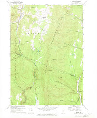 1970 Warren1972 Print · USGSThe Mad River valley and Northfield Mountains appear here in the early 1970s, showing a landscape of high forests and narrow valley settlements. Genealogists and hikers can trace the CENTRAL VERMONT rail line through East Granville or locate old burial sites like the Cem in East Warren.3 unique versions available
 - 1970 Map of Lincoln, 1972 Print
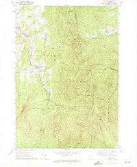 1970 Lincoln1972 Print · USGSVermont's Green Mountains appear in detail during the early 1970s, showing the high-elevation wilderness before modern development. Hikers and historians can trace the Long Trail past Mt Abraham and Lincoln Gap, or locate families near the Lee Cem and Lincoln Community Sch.2 unique versions available
 - 1970 Map of Waitsfield, 1972 Print
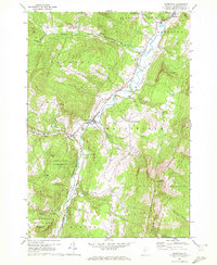 1970 Waitsfield1972 Print · USGSThe Mad River valley in the early seventies shows a landscape of mountain forests and riverside villages like Waitsfield and Irasville. Researchers can trace old family burial grounds like Wait Cem or locate landmarks such as the Covered Bridge and the Lookout Tower on Scrag Mtn.3 unique versions available
 - 1971 Map of Mount Ellen, 1972 Print
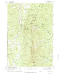 1971 Mount Ellen1972 Print · USGSThe Green Mountain heights of central Vermont come alive in the early seventies, showcasing the region's mid-century ski resort expansion. Trace the growth of Mad River Glen or locate family plots at Gore Cem and Little Ireland Cem.3 unique versions available
 - 1988 Map of Montpelier
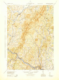 1988 Montpelier1988 Print · USGSThe area surrounding Vermont’s capital city appears here during the early 1940s, showing the vital rail-and-river network. Genealogists can trace family names across a dozen district schools and rural sites like Middlesex Center and the Talc Mine.2 unique versions available
 - 1997 Map of Lincoln, 2000 Print
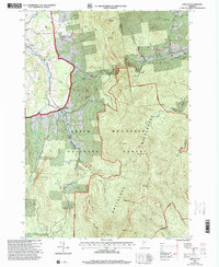 1997 Lincoln2000 Print · USGSNear the close of the twentieth century, the mountain towns of Lincoln and South Lincoln remained deeply tied to the surrounding peaks. Genealogists and hikers can trace the LONG TRAIL past Mt Abraham or locate family sites like Lee Cem and the Lincoln Community Sch.
 - 1997 Map of Warren, 2000 Print
 1997 Warren2000 Print · USGSThe Mad River valley in the late twentieth century reveals a landscape of high-elevation farming and growing mountain recreation. Genealogists and hikers can trace old routes through Roxbury Gap, locate the historic Covered Bridge in Warren, and identify family sites near East Warren.
 - 1997 Map of Waitsfield, 2000 Print
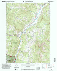 1997 Waitsfield2000 Print · USGSThe Mad River valley and its surrounding mountain forests appear here in the late nineties, capturing a classic Vermont landscape of valley farms and steep timber. Genealogists and local historians can trace family plots at Wait Cem, locate Our Lady of the Snows Ch, or find the historic Covered Bridge.
 - 1997 Map of Mount Ellen, 2000 Print
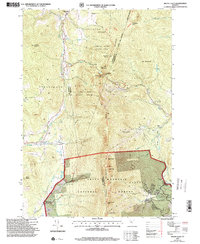 1997 Mount Ellen2000 Print · USGSVermont's Green Mountains reveal a landscape of high peaks and winter resorts during the late nineties. Genealogists and hikers can trace the Long Trail past high summits to historic burial grounds like Little Ireland Cem and Jerusalem Cem.
 - 2012 Map of Lincoln, 2012 Print
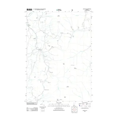 2012 Lincoln2012 Print · USGSVermont's Green Mountain crest is captured here in the early twenty-first century, showcasing the high-elevation settlements of Lincoln and South Lincoln. Genealogists and hikers can trace historical burial grounds like Johnson Cem and mountain landmarks including Prospect Rock and the Lincoln Gap pass.
 - 2012 Map of Waitsfield, 2012 Print
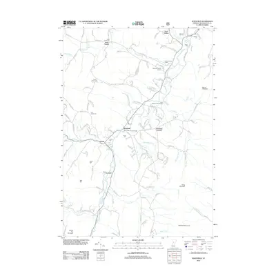 2012 Waitsfield2012 Print · USGSThe Mad River valley and its surrounding heights come into focus in the early twenty-first century. Local history researchers can trace numerous family burial sites, such as Wait Cem and Fayston Cem, alongside historic structures like the Pine Brook Covered Bridge.
 - 2012 Map of Warren, 2012 Print
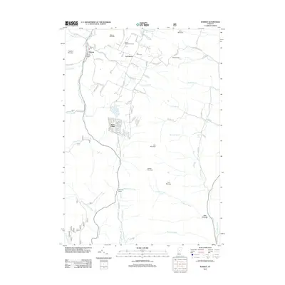 2012 Warren2012 Print · USGSThis central Vermont valley was surveyed in the early twenty-first century, documenting the mountain communities of Warren and East Warren. Genealogists and historians can trace local landmarks like the Warren Covered Bridge, the East Warren Cem, and the high pass at Roxbury Gap.
 - 2012 Map of Mount Ellen, 2012 Print
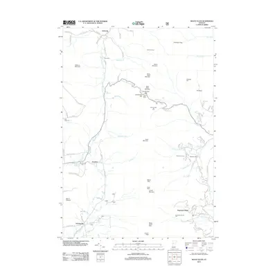 2012 Mount Ellen2012 Print · USGSThe Green Mountain summits and ski valleys of central Vermont are captured in detail during the early 2010s. Local researchers can trace family roots at Gore Cem or Little Ireland Cem and locate high-elevation landmarks like Appalachian Gap and Mount Ellen.
 - 2015 Map of Waitsfield, 2015 Print
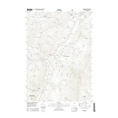 2015 Waitsfield2015 Print · USGSThe Mad River valley of central Vermont is shown here in the mid-2010s, capturing the distinct clusters of Waitsfield and Irasville. Genealogists and historians can trace local family lineages through several sites, including the Wait Cem and the Pine Brook Covered Bridge.
 - 2015 Map of Mount Ellen, 2015 Print
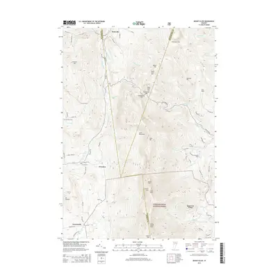 2015 Mount Ellen2015 Print · USGSThe Green Mountain high country in the mid-2010s reveals a landscape of high peaks and isolated valley settlements. Researchers can locate remote family burial sites like Little Ireland Cem and trace old mountain passes such as Appalachian Gap and Schuss Pass.
 - 2015 Map of Warren, 2015 Print
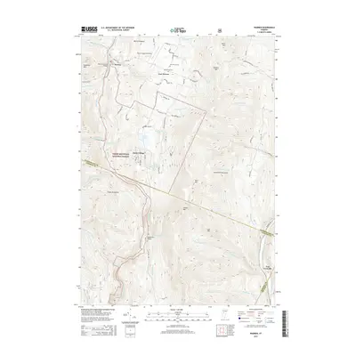 2015 Warren2015 Print · USGSThe Mad River valley and surrounding peaks are captured here in the mid-2010s, showcasing a landscape defined by traditional villages and outdoor recreation. Researchers can trace local history through the Warren Covered Bridge, several historic burial sites like Warren Cem, and the high-elevation Roxbury Gap.
 - 2015 Map of Lincoln, 2015 Print
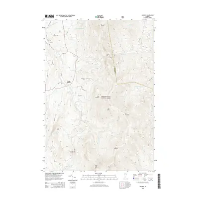 2015 Lincoln2015 Print · USGSThe high peaks of the Green Mountains tower over the settlements of Lincoln and South Lincoln in the mid-2010s. Genealogists and historians can locate several family burial sites, including Johnson Cem and Eubar-Odette Cem, and trace the path of The Natural Turnpike.
 - 2018 Map of Lincoln, 2018 Print
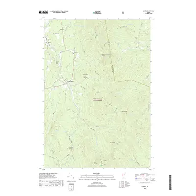 2018 Lincoln2018 Print · USGSVermont's high ridges and the village of Lincoln are captured here in 2018, showing the deep integration of the Green Mountain National Forest into local life. Genealogists and hikers can trace family sites like Johnson Cem or follow the Battel Long Trail through Lincoln Gap.
 - 2018 Map of Warren, 2018 Print
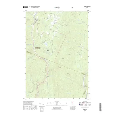 2018 Warren2018 Print · USGSThe Mad River Valley remains a landscape of high peaks and historic river crossings in this 2010s study. Genealogists and local historians can locate generational sites like the Warren Covered Bridge, East Warren Cemetery, and the Warren-Sugarbush Airport.
Showing maps 1-25 of 35
Top cities near Warren
- Middlebury historical maps
- Northfield historical maps
- Waterbury historical maps
- Randolph historical maps
- Hinesburg historical maps
- Williamstown historical maps
See more
Top neighborhoods of Warren
Frequently asked questions
- What are the different types of historical maps available for Warren?
- What is the oldest map of Warren?
- Where can I purchase historical maps of Warren for my home or office?
- Where can I download high-res historical maps of Warren?
- Are there historical topographic maps available for Warren?
- Is there historical aerial imagery available for Warren?
- Where are historical maps of Warren sourced from?