2000s (21st Century) Maps of Dover, Vermont
Explore 10 historic maps of Dover from the 2000s (21st Century). These maps offer a rare glimpse into what life looked like during the 2000s — showing old roads, neighborhoods, homes, and landmarks that have changed or disappeared over time.
Whether you're researching your family's past, planning a metal detecting trip, or studying how Dover's landscape evolved across the 2000s, these high-resolution maps are a powerful tool for exploring the history of this region.
- Focus on a specific era: All maps on this page are from the 2000s, giving you a focused view of this time period.
- See what’s changed: Compare century-old streets, trails, and buildings to today's modern landscape using overlays and satellite layers.
- Research with precision: Use these maps for genealogy, historical research, land use analysis, or educational projects.
- View, download, or print: Maps are fully viewable online in high resolution, and can be downloaded or printed for your own records.
Start exploring Dover's history through authentic maps from the 2000s. This is your window into the past.
Dover, VT maps
(10)- 2012 Map of Mount Snow, 2012 Print
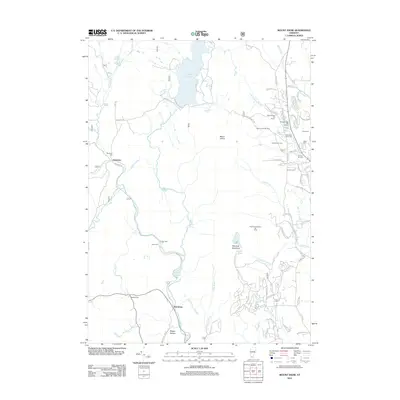 2012 Mount Snow2012 Print · USGSCovers Dover, including Wardsboro, Wilmington, and other nearby areas
 - 2012 Map of West Dover, 2012 Print
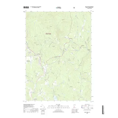
 2012 West Dover2012 Print · USGSCovers Dover, including Marlboro, Newfane, and other nearby areas
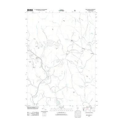
 - 2015 Map of West Dover, 2015 Print
 2015 West Dover2015 Print · USGSCovers Dover, including Marlboro, Newfane, and other nearby areas
 - 2015 Map of Mount Snow, 2015 Print
 2015 Mount Snow2015 Print · USGSCovers Dover, including Wardsboro, Wilmington, and other nearby areas
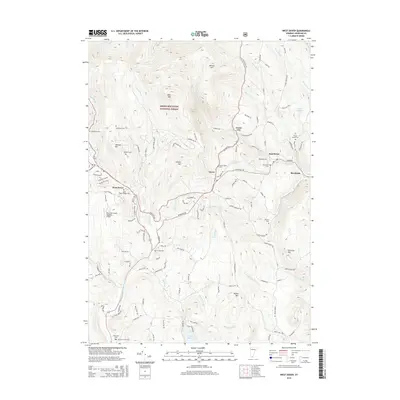
 - 2018 Map of West Dover, 2018 Print
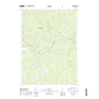
 2018 West Dover2018 Print · USGSCovers Dover, including Marlboro, Newfane, and other nearby areas
 - 2018 Map of Mount Snow, 2018 Print
 2018 Mount Snow2018 Print · USGSCovers Dover, including Wardsboro, Wilmington, and other nearby areas
 - 2021 Map of West Dover, 2021 Print
 2021 West Dover2021 Print · USGSCovers Dover, including Marlboro, Newfane, and other nearby areas
 - 2021 Map of Mount Snow, 2021 Print
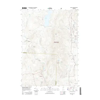
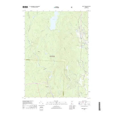
 2021 Mount Snow2021 Print · USGSCovers Dover, including Wardsboro, Wilmington, and other nearby areas
 - 2024 Map of Mount Snow, 2024 Print
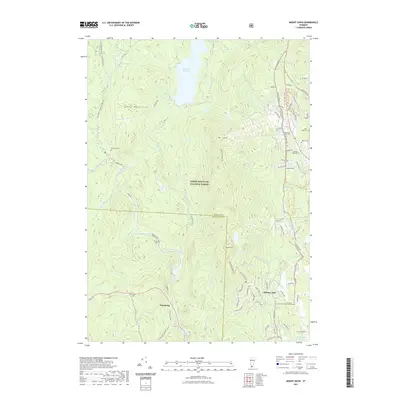
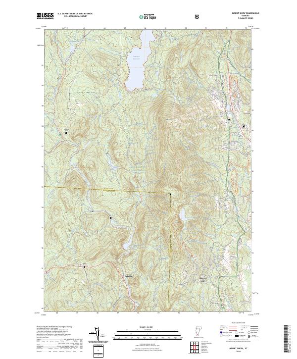 2024 Mount Snow2024 Print · USGSSouthern Vermont's high country is captured here during the 2020s, showing the intersection of remote forest lands and developed mountain communities. Researchers can locate several historic burial grounds like Somerset Cem and Cutler Cem near the Searsburg Reservoir.
 - 2024 Map of West Dover, 2024 Print
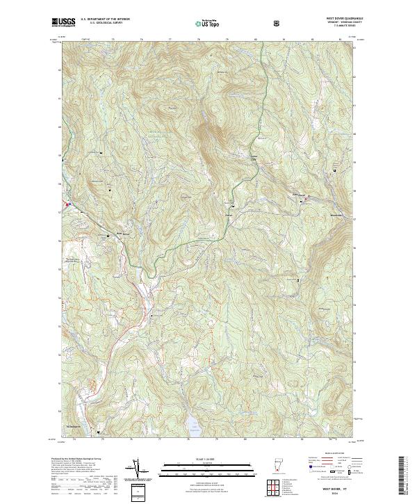 2024 West Dover2024 Print · USGSWindham County's highland terrain is captured here in the modern era, showing the enduring footprint of its early mountain settlements. Genealogists can trace local heritage through numerous family burial sites like Rice Snow Cem, Baldwin Cem, and the West Dover Village Cem.
End of results
Showing maps 1-10 of 10
Top cities near Dover
- Brattleboro historical maps
- Manchester historical maps
- Manchester Center historical maps
- Manchester historical maps
- Guilford historical maps
- Londonderry historical maps
See more
Top neighborhoods of Dover
- East Dover historical maps
- Goose City historical maps
- West Dover historical maps
- West Dover Historic District historical maps
Frequently asked questions
- What are the different types of historical maps available for Dover?
- What is the oldest map of Dover?
- Where can I purchase historical maps of Dover for my home or office?
- Where can I download high-res historical maps of Dover?
- Are there historical topographic maps available for Dover?
- Is there historical aerial imagery available for Dover?
- Where are historical maps of Dover sourced from?