Old Maps of Ludlow, Vermont for Genealogy
Trace your family roots with 37 historic maps of Ludlow. These high-res maps reveal old neighborhoods, homesites, landmarks, and streets — helping you uncover where your ancestors lived and how the area evolved over time.
- Explore historic neighborhoods: Identify where your relatives may have lived in the 1800s or 1900s.
- Compare maps over time: Trace the changes in streets, buildings, and landmarks for multi-generational research.
- Perfect for genealogy & ancestry research: Used by family historians and researchers to map out lineage and migration.
These maps are an incredible resource for exploring your personal connection to Ludlow's past.
Ludlow, VT maps
(37)- 1893 Map of Wallingford
 1893 Wallingford1893 Print · USGSThe Green Mountains of Rutland County appear in the 1890s as a landscape of busy rail corridors and upland villages. Genealogists can trace family names and small industrial hubs like Mechanicsville, Cuttingsville, and the remote mountain settlement of Griffith.8 unique versions available
 - 1928 Map of Ludlow
 1928 Ludlow1928 Print · USGSWindsor County's industrial river valleys and upland hill farms are captured here in the late twenties just as early aviation arrived. Trace family roots through numerous district schools like Baltimore Sch and vanished post offices at Peaseville.
 - 1929 Map of Ludlow, 1961 Print
 1929 Ludlow1961 Print · USGSThe Black River valley and its busy rail corridor define this Vermont landscape in the late 1920s. Researchers can trace the legacy of rural education at Sawyer Stand Sch and locate vanished local landmarks like Baileys Mills or Grout Cem.2 unique versions available
 - 1932 Map of Ludlow
 1932 Ludlow1932 Print · USGSWindsor County in the early thirties features a landscape of mountain hamlets and busy river valleys connected by the Rutland Railroad. Trace genealogy and local history through numerous rural landmarks like Plymouth Kingdom, Baileys Mills, and the Sawyer Stand School.4 unique versions available
 - 1950 Map of Glens Falls
 1950 Glens Falls1950 Print · USGSThe Adirondacks and the Green Mountains meet in this mid-century survey of the New York and Vermont borderlands. Researchers can trace the industrial rail corridors of the Rutland RR and Delaware & Hudson RR connecting Glens Falls, Rutland, and the shores of Lake George.
 - 1955 Map of Wallingford, 1958 Print
 1955 Wallingford1958 Print · USGSThe Green Mountains in the mid-1950s show a landscape of high-elevation villages and deep forest tracts. Genealogists and hikers can trace old landmarks like Weston Priory, Landgrove Sch, and the remote Ten Kilns site.3 unique versions available
 - 1956 Map of Glens Falls, 1968 Print
 1956 Glens Falls1968 Print · USGSUpper New York and the Vermont mountains are captured here in the mid-fifties, showing the rugged rail-and-river network of the Northeast. Researchers can trace the paths of the Delaware and Hudson RR and Rutland RR as they wind through valley towns like Poultney and Whitehall.3 unique versions available
 - 1959 Map of Glens Falls
 1959 Glens Falls1959 Print · USGSUpper New York and Vermont are captured here during the late 1950s, a period of transition for these mountain communities. Researchers can trace the legacy of the region's river-and-rail economy through landmarks like Lake George, Saratoga Springs, and Killington Peak.2 unique versions available
 - 1964 Map of Glens Falls
 1964 Glens Falls1964 Print · USGSThe tri-state borderlands of New York, Vermont, and New Hampshire appear here in the mid-1960s. Researchers can trace the rail routes of the Rutland RR and find historic sites like Ticonderoga and Saratoga National Historical Park.
 - 1971 Map of Andover, 1975 Print
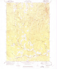 1971 Andover1975 Print · USGSWindsor County’s high hills and river branches are captured in the early 1970s, showing a landscape of upland farms and valley hamlets. Researchers can trace family history through sites like Simonsville, the East Hill Sch, and the Smokeshire Cem.2 unique versions available
 - 1971 Map of Ludlow, 1975 Print
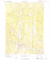 1971 Ludlow1975 Print · USGSVermont's Green Mountain region is captured here in the early 1970s, focused on the riverside communities and high-altitude forests of Windsor County. Local historians can trace the development of Ludlow and Proctorsville, find family plots at Pleasant View Cem, or locate landmarks like Sawyer Rocks and Colby Pond.2 unique versions available
 - 1985 Map of Claremont, 1986 Print
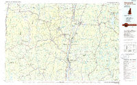 1985 Claremont1986 Print · USGSUpper Valley and Green Mountain life are captured here in the mid-eighties, centered on the river-linked hubs of Claremont and Springfield. Trace old family routes and rail lines like the Boston & Maine RR, or locate properties near Lake Sunapee and Mount Ascutney State Park.2 unique versions available
 - 1986 Map of Mount Holly, 1987 Print
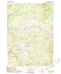 1986 Mount Holly1987 Print · USGSMount Holly and the surrounding Vermont highlands are shown here in the 1980s as a landscape of timber forests and tight-knit mountain villages. Researchers can trace historic settlements like Belmont, Tarbellville, and East Wallingford along the banks of the Mill River.2 unique versions available
 - 1986 Map of Weston, 1987 Print
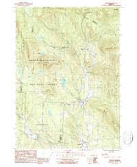 1986 Weston1987 Print · USGSIn the mid-1980s, the mountain valleys of Windsor County maintained a quiet network of small settlements and protected forests. Trace the secluded grounds of Weston Priory, family plots at Cem sites, and the heights of Morgan Hill.2 unique versions available
 - 1997 Map of Ludlow, 1999 Print
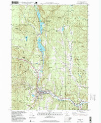 1997 Ludlow1999 Print · USGSIn the late 1990s, the Black River valley in Windsor County maintained its blend of traditional village life and mountain recreation. Researchers can trace historic cemeteries and civic sites from Pleasant View Cem to the Black River High Sch and the hamlet of Tyson.
 - 1997 Map of Weston, 2000 Print
 1997 Weston2000 Print · USGSWeston and the Green Mountains are shown in the late nineties, capturing a landscape of deep river valleys and high forest ridges. Researchers can trace local landmarks like Weston Priory, the Wantastiquet Trout Club, and the winding Rootbeer Ridge Trail.
 - 1997 Map of Mount Holly, 2000 Print
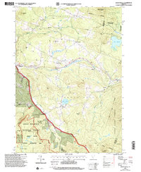 1997 Mount Holly2000 Print · USGSMount Holly and the Green Mountains are shown during the late twentieth century as recreation and conservation shaped the Vermont landscape. Genealogists can trace family names at Hammond Hill and Roger Hill, or locate local burials at various Cem sites near Belmont and Hortonville.
 - 2012 Map of Andover, 2012 Print
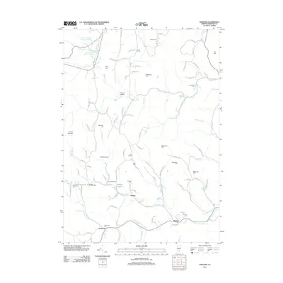 2012 Andover2012 Print · USGSAndover and its surrounding Vermont hills appear here during the early twenty-first century as a landscape of small settlements and high peaks. Genealogists can locate family burial sites like Simonsville Cem and Pettengill Cem or trace rural life in Middletown.
 - 2012 Map of Ludlow, 2012 Print
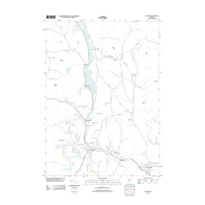 2012 Ludlow2012 Print · USGSThe Black River valley and the eastern slopes of the Green Mountains are shown in the early twenty-first century. Genealogists can trace burial grounds at Tyson Cem and Hillcrest Cem or explore the corridor between Ludlow and Proctorsville.
 - 2012 Map of Mount Holly, 2012 Print
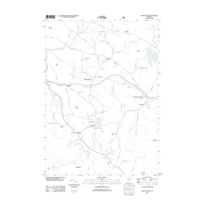 2012 Mount Holly2012 Print · USGSMount Holly and the Windsor County highlands are shown here in the early twenty-first century, preserving a landscape of historic mountain hamlets. Researchers can trace family sites at Mount Holly Cem, follow the Crown Point Rd, or locate the settlements of Belmont and Tarbellville.
 - 2012 Map of Weston, 2012 Print
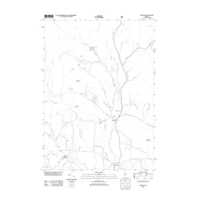 2012 Weston2012 Print · USGSWindsor County's high country is captured here in the early twenty-first century, centered on the historic village of Weston. Researchers can trace local heritage at Forefathers Cem, locate the industrial Weston Bowl Mill, and find family-named sites like Peabody Hill.
 - 2015 Map of Mount Holly, 2015 Print
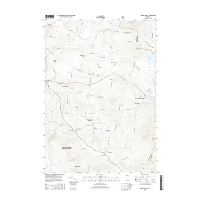 2015 Mount Holly2015 Print · USGSMount Holly and the surrounding Green Mountains are captured in this mid-2010s survey, showing a landscape defined by high ridges and small alpine hamlets. Researchers can trace historic burial sites and rural settlements like Belmont, Tarbellville, and Old Mechanicsville Cem.
 - 2015 Map of Ludlow, 2015 Print
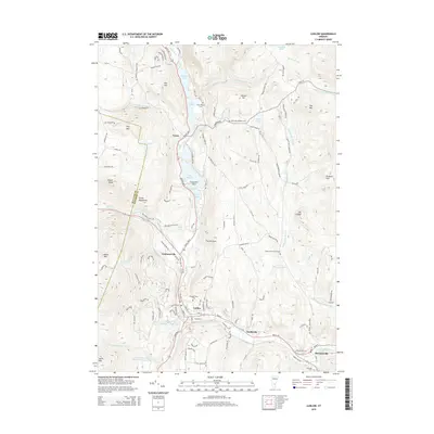 2015 Ludlow2015 Print · USGSWindsor County's high country and river valleys are captured here in the mid-2010s, showing the enduring character of the Green Mountains. Historians can trace mountain cemeteries like Plymouth Kingdom Cem and follow the Black River through Tyson and Ludlow.
 - 2015 Map of Weston, 2015 Print
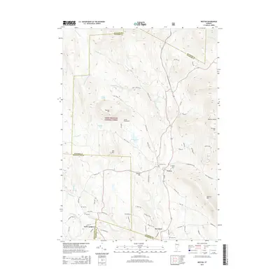 2015 Weston2015 Print · USGSWeston and the surrounding Green Mountains are documented here in the mid-2010s, showcasing a landscape of high peaks and river valleys. Genealogists and local historians can trace burial sites from Forefathers Cem to the Old Cem and explore the remote terrain of Terrible Mtn.
 - 2015 Map of Andover, 2015 Print
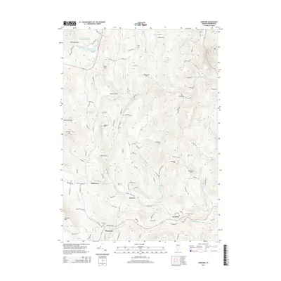 2015 Andover2015 Print · USGSThe Green Mountains in the mid-2010s remain a landscape of secluded valleys and high peaks centered around Andover. Genealogists and local historians can trace family roots through numerous burial grounds like Simonsville Cem, Pettengill Cem, and Heald Cem.
Showing maps 1-25 of 37
Top cities near Ludlow
- Brockways Mills historical maps
- Springfield historical maps
- Hartland historical maps
- Rockingham historical maps
- Woodstock Village historical maps
- Woodstock historical maps
See more
Top neighborhoods of Ludlow
Frequently asked questions
- What are the different types of historical maps available for Ludlow?
- What is the oldest map of Ludlow?
- Where can I purchase historical maps of Ludlow for my home or office?
- Where can I download high-res historical maps of Ludlow?
- Are there historical topographic maps available for Ludlow?
- Is there historical aerial imagery available for Ludlow?
- Where are historical maps of Ludlow sourced from?