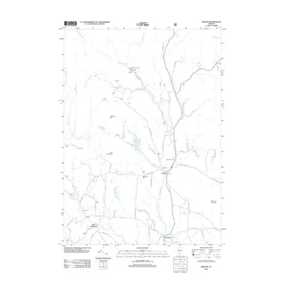
2012 Map of Weston
USGS Topo · Published 2012About this map
The West River carves a path through the Green Mountains near the village of Weston, where traditional industry and history converge. Local landmarks like the Weston Bowl Mill stand as markers of the area's long-standing woodcraft heritage, while Forefathers Cem provides a direct link to the early settlers of Windsor County. To the west, North Landgrove sits near the headwaters of Utley Brook, surrounded by the elevations of Holt Mountain and Peabody Hill.
Find a feature on this map
71 named features on this map. Tap any name to fly to it.
Don’t see what you’re looking for? This feature index may not catch every label — zoom into the map to look around manually.
Map Details
Editions of this 2012 Weston Map
This is the sole edition of this map. No revisions or reprints were ever made.
Other maps of this area

1893 · Wallingford
USGS Topo · 1:62,500

1894 · Londonderry
USGS Topo · 1:62,500

1899 · Londonderry
USGS Topo · 1:62,500

1928 · Ludlow
USGS Topo · 1:48,000

1929 · Ludlow
USGS Topo · 1:62,500

1930 · Saxtons River
USGS Topo · 1:48,000

1932 · Ludlow
USGS Topo · 1:62,500

1933 · Saxtons River
USGS Topo · 1:62,500

1950 · Glens Falls
USGS Topo · 1:250,000

1955 · Wallingford
USGS Topo · 1:62,500