Old Maps of Rucker Gap, Virginia for Genealogy
Trace your family roots with 17 historic maps of Rucker Gap. These high-res maps reveal old neighborhoods, homesites, landmarks, and streets — helping you uncover where your ancestors lived and how the area evolved over time.
- Explore historic neighborhoods: Identify where your relatives may have lived in the 1800s or 1900s.
- Compare maps over time: Trace the changes in streets, buildings, and landmarks for multi-generational research.
- Perfect for genealogy & ancestry research: Used by family historians and researchers to map out lineage and migration.
These maps are an incredible resource for exploring your personal connection to Rucker Gap's past.
Rucker Gap, VA maps
(17)- 1887 Map of Lewisburg
 1887 Lewisburg1887 Print · USGSThe Greenbrier Valley and the Virginia borderlands are captured here in the late nineteenth century during a period of significant rail expansion. Genealogists and historians can trace early mountain settlements like White Sulphur Springs and Ronceverte, or locate specific landmarks like Van Staverns Mill and the Half Way House.
 - 1891 Map of Lewisburg
 1891 Lewisburg1891 Print · USGSThe Virginia and West Virginia borderlands are captured here in the late 1880s, documenting a landscape of mountain ridges and burgeoning rail infrastructure. Genealogists and historians can trace family-named landmarks like Van Staverns Mill or follow the route of the Chesapeake and Ohio Railroad through the Alleghany Tunnel.8 unique versions available
 - 1921 Map of Callaghan
 1921 Callaghan1921 Print · USGSThe West Virginia and Virginia borderlands come alive in this early 1920s survey of the mountain gaps and valley drafts. Researchers can trace rural life through numerous country schools like Bound School and landmarks such as Columbia Sulphur Springs and Wileys Crossing.
 - 1923 Map of Callaghan
 1923 Callaghan1923 Print · USGSThe West Virginia and Virginia borderlands come alive in the early 1920s, showing a landscape of remote schoolhouses and mineral springs. Genealogists can trace family footprints near Columbia Sulphur Springs or locate long-gone schools like Wades Draft School and Whites Draft School.3 unique versions available
 - 1946 Map of Callaghan
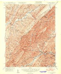 1946 Callaghan1946 Print · USGSThe Virginia and West Virginia borderlands are captured here in the mid-1940s, showing the intersection of heavy rail and mountain life. Genealogists and historians can trace old community sites like Hokes Chapel, Dunlap Sch, and the industrial operations at Stack Mine.4 unique versions available
 - 1949 Map of Callaghan
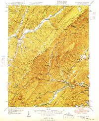 1949 Callaghan1949 Print · USGSThe Virginia and West Virginia borderlands come alive in this mid-century survey of the high Allegheny ridges and river valleys. Genealogists and researchers can trace the Chesapeake and Ohio rail line to vanished stops like Backbone Siding or locate family sites near Hokes Chapel and Whites Draft Sch.2 unique versions available
 - 1955 Map of Bluefield
 1955 Bluefield1955 Print · USGSThe Central Appalachian borderlands come alive in the mid-fifties, showing the coal and rail networks connecting Bluefield to Beckley. Researchers can trace the industrial landscape of the New River Ordnance Plant and the terrain of Burkes Garden.
 - 1957 Map of Bluefield, 1967 Print
 1957 Bluefield1967 Print · USGSThe heart of Central Appalachia in the mid-fifties is defined by the winding rail lines and river valleys of the coalfields. Researchers can trace the industrial footprints of towns like Welch and Princeton or locate landmarks such as the Bluestone Reservoir and Claytor Lake.2 unique versions available
 - 1961 Map of Bluefield
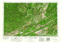 1961 Bluefield1961 Print · USGSThe coalfields and mountain ridges of southern West Virginia and southwest Virginia are captured in the early sixties. Genealogists can trace family ties through rail-linked towns like Princeton and Richlands or along the shores of Bluestone Reservoir.
 - 1966 Map of Rucker Gap, 1968 Print
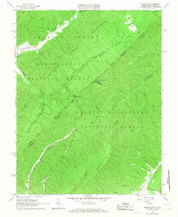 1966 Rucker Gap1968 Print · USGSThe high ridges of the Alleghenies meet along the Virginia-West Virginia border in the mid-1960s, where national forests converge at Rucker Gap. Genealogists and hikers can trace old family landmarks like Watts Chapel Cem and the waters of Anthony Creek or Ogle Creek.2 unique versions available
 - 1984 Map of Lewisburg, 1985 Print
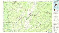 1984 Lewisburg1985 Print · USGSThe Greenbrier Valley in the mid-eighties shows a landscape of river-town commerce, mountain agriculture, and major institutional landmarks. Researchers can trace the rail corridors of the Chesapeake and Ohio and locate sites like the Federal Reformatory for Women and the Sam Black Church.2 unique versions available
 - 1995 Map of Rucker Gap, 1998 Print
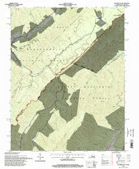 1995 Rucker Gap1998 Print · USGSThe high ridges of the Virginia-West Virginia border are captured here in the mid-1990s, where national forests meet at the crest of Allegheny Mountain. Trace local heritage through landmarks like Watts Chapel Cem and the mineral springs at Columbia Sulphur Springs.
 - 2011 Map of Rucker Gap, 2011 Print
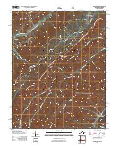 2011 Rucker Gap2011 Print · USGSThe Virginia-West Virginia borderlands at Rucker Gap are shown here in the early 21st century, dominated by high peaks and forested hollows. Researchers can locate the Watts Chapel Cemetery or trace the remote drainages of Sherwood Lake and Middle Fork Anthonys Creek.
 - 2013 Map of Rucker Gap, 2013 Print
 2013 Rucker Gap2013 Print · USGSThe borderlands of Virginia and West Virginia remained a territory of high ridges and narrow creek bottoms into the early twenty-first century. Researchers can trace the rugged local geography through family-named landmarks like Rucker Hollow and crossings at Rucker Gap.
 - 2016 Map of Rucker Gap, 2016 Print
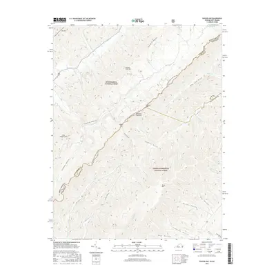 2016 Rucker Gap2016 Print · USGSThe high border country of the Allegheny Mountains comes into focus in this recent survey of the Virginia and West Virginia line. Researchers can trace historic mountain routes like Rucker Gap Rd or locate local landmarks like Watts Chapel Cem and Lake Sherwood.
 - 2019 Map of Rucker Gap, 2019 Print
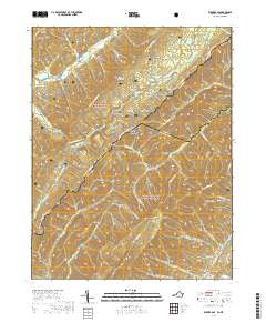 2019 Rucker Gap2019 Print · USGSThe high ridges of the Allegheny Mountains define this borderland during the late twenty-tens, where the state line divides two national forests. You can trace the remote Rucker Gap pass and find the historical Watts Chapel Cem among the deep reaches of Rucker Hollow and Big Lick Draft.
 - 2022 Map of Rucker Gap, 2022 Print
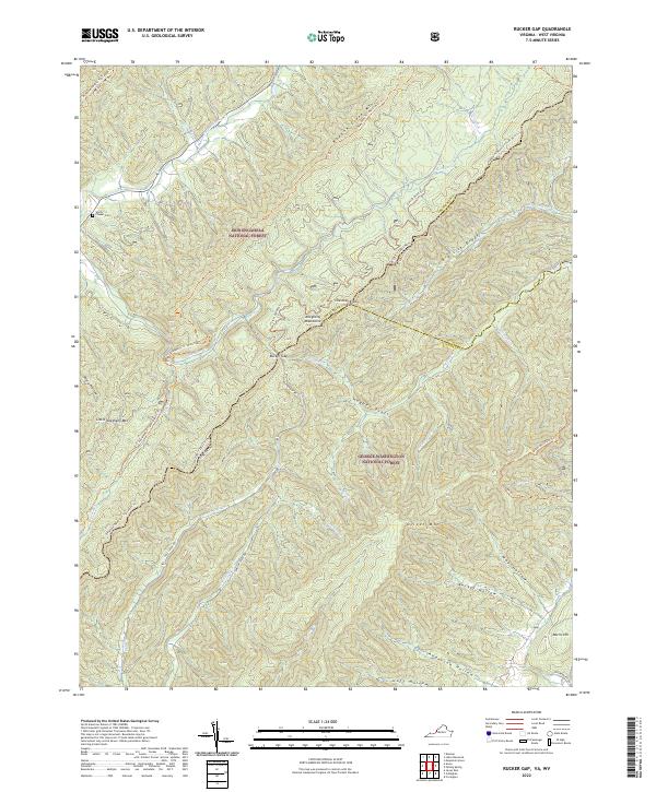 2022 Rucker Gap2022 Print · USGSThe high ridges of the Allegheny Mountains straddle the Virginia and West Virginia border in this contemporary survey of the national forest heartland. Researchers can trace historic access routes like Rucker Gap Rd and locate landmarks such as Chapel Cem or the settlement at Watts.
End of results
Showing maps 1-17 of 17
Top cities near Rucker Gap
- Covington historical maps
- White Sulphur Springs historical maps
- Mallow historical maps
- Low Moor historical maps
- Hillsboro historical maps
- Callaghan historical maps
Frequently asked questions
- What are the different types of historical maps available for Rucker Gap?
- What is the oldest map of Rucker Gap?
- Where can I purchase historical maps of Rucker Gap for my home or office?
- Where can I download high-res historical maps of Rucker Gap?
- Are there historical topographic maps available for Rucker Gap?
- Is there historical aerial imagery available for Rucker Gap?
- Where are historical maps of Rucker Gap sourced from?