Old Maps of Salt Creek, Virginia for Academic Research
Study the evolution of Salt Creek with 16 high-resolution historic maps. Whether you're teaching, researching, or modeling changes in land use, these maps provide essential visual documentation of urban, environmental, and geographic change.
- Analyze long-term change: Track patterns in development, transportation, and natural features.
- Ideal for environmental or urban studies: Support academic projects with primary historical map data.
- Use in the classroom or lab: Educators and researchers rely on these maps to bring historical context to life.
These maps are a powerful tool for teaching, research, and visualizing how Salt Creek has changed over the decades.
Salt Creek, VA maps
(16)- 1894 Map of Lexington, 1900 Print
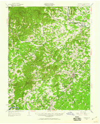
 1894 Lexington1900 Print · USGSAmherst and the surrounding Blue Ridge foothills are captured in the late nineteenth century during a period of rural expansion and early rail development. Genealogists can locate family homesteads near Clifford P.O. or trace landmarks like Cornerstone Ch. and Massies Mill.7 unique versions available
 - 1935 Map of Amherst
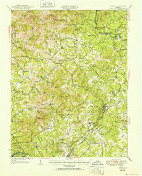
 1935 Amherst1935 Print · USGSAmherst County in the mid-thirties reveals a landscape of mountain hollows and rail-connected settlements along the edge of the George Washington National Forest. Genealogists and historians can locate rural landmarks like the Indian Mission, Sweet Briar College, and the old Southern Mineral Plant.
 - 1939 Map of Amherst
 1939 Amherst1939 Print · USGSAmherst County in the mid-1930s is a landscape of mountain ridges and tight-knit rural communities. Genealogists and historians can trace the exact locations of many local landmarks, from Sweet Briar and Amherst to the Indian Mission and Dodds Store.
 - 1947 Map of Roanoke, 1948 Print
 1947 Roanoke1948 Print · USGSCentral Virginia in the late 1940s reveals a region defined by its great mountain ridges and the powerful river-and-rail economy connecting Roanoke to Lynchburg. Researchers can trace the path of the Virginian RR and locate historic county seats like Charlotte Court House.2 unique versions available
 - 1950 Map of Amherst, 1960 Print
 1950 Amherst1960 Print · USGSAmherst and the surrounding Blue Ridge foothills are documented here at mid-century, just as rural communities and mountain gaps remained largely unchanged. Genealogists can trace family locations through Dodds Store, Mt Moriah Ch, and the Sweet Briar College campus.
 - 1952 Map of Amherst
 1952 Amherst1952 Print · USGSAmherst County and the Blue Ridge heights are captured here in the early fifties before modern development reshaped the rural landscape. Genealogists can trace family lines through dozens of local landmarks like Dodds Store, Indian Mission, and Pleasant Grove Ch.
 - 1959 Map of Roanoke
 1959 Roanoke1959 Print · USGSCentral Virginia and the Blue Ridge appear in great detail during the late fifties, showcasing the transition from mountain industry to Piedmont farmland. Trace the path of the Norfolk and Western railroad or find old river towns like Appomattox and Amelia Court House.
 - 1963 Map of Roanoke
 1963 Roanoke1963 Print · USGSCentral Virginia and the Blue Ridge front appear here in the early sixties, caught between their deep railroad roots and new postwar developments. Genealogists and historians can trace the rail lines of the Norfolk and Western through towns like Bedford and Altavista, or locate family landmarks near Smith Mountain Lake.
 - 1963 Map of Tobacco Row Mtn, 1965 Print
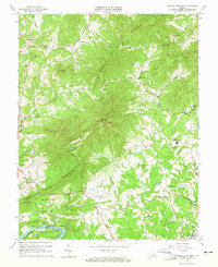 1963 Tobacco Row Mtn1965 Print · USGSAmherst County in the early sixties was defined by the ridges of Tobacco Row Mountain and its rural religious and educational centers. Researchers can locate numerous family burial grounds and institutions like the Father Judge Mission Seminary, Gatewood Cem, and New Prospect Ch.4 unique versions available
 - 1971 Map of Roanoke, 1977 Print
 1971 Roanoke1977 Print · USGSThe Virginia Piedmont and Blue Ridge mountains meet in this early 1970s landscape of river valleys and rail hubs. Researchers can trace historic transportation routes and landmarks like the Appomattox Court House Nat Hist Pk, the Peaks of Otter, and Amelia Court House.2 unique versions available
 - 1986 Map of Buena Vista
 1986 Buena Vista1986 Print · USGSThe mid-eighties landscape around Rockbridge County comes alive in this survey of the Blue Ridge and Allegheny foothills. Researchers can trace the legacy of institutions like Washington and Lee University or follow the historic Chesapeake and Ohio Railway through Clifton Forge.2 unique versions available
 - 2010 Map of Tobacco Row Mountain, 2010 Print
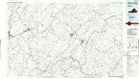
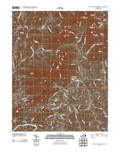 2010 Tobacco Row Mountain2010 Print · USGSCovers Salt Creek, including Monroe, Pleasant View, and other nearby areas
 - 2013 Map of Tobacco Row Mountain, 2013 Print
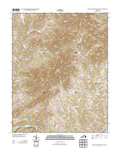 2013 Tobacco Row Mountain2013 Print · USGSCovers Salt Creek, including Monroe, Pleasant View, and other nearby areas
 - 2016 Map of Tobacco Row Mountain, 2016 Print
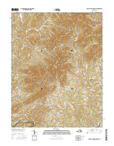 2016 Tobacco Row Mountain2016 Print · USGSCovers Salt Creek, including Monroe, Pleasant View, and other nearby areas
 - 2019 Map of Tobacco Row Mountain, 2019 Print
 2019 Tobacco Row Mountain2019 Print · USGSCovers Salt Creek, including Monroe, Pleasant View, and other nearby areas
 - 2022 Map of Tobacco Row Mountain, 2022 Print
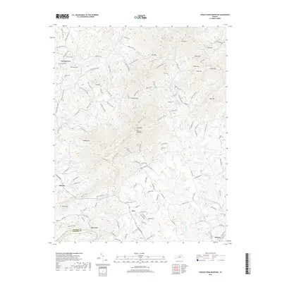
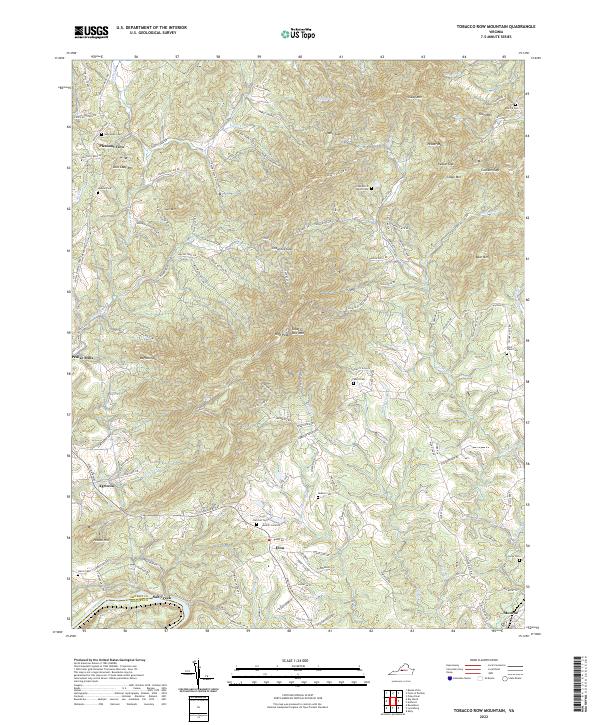 2022 Tobacco Row Mountain2022 Print · USGSAmherst County's ridgelines and river valleys are shown in 2022 as a network of rural settlements and ancestral landmarks. Genealogists can locate family burial sites like Watts Cem or Fletcher Cem near communities such as Elon and Agricola.
End of results
Showing maps 1-16 of 16
Top cities near Salt Creek
- Lynchburg historical maps
- Timberlake historical maps
- Forest historical maps
- Madison Heights historical maps
- Amherst historical maps
- Glasgow historical maps
Frequently asked questions
- What are the different types of historical maps available for Salt Creek?
- What is the oldest map of Salt Creek?
- Where can I purchase historical maps of Salt Creek for my home or office?
- Where can I download high-res historical maps of Salt Creek?
- Are there historical topographic maps available for Salt Creek?
- Is there historical aerial imagery available for Salt Creek?
- Where are historical maps of Salt Creek sourced from?