Old Maps of Augusta Springs, Virginia for Academic Research
Study the evolution of Augusta Springs with 12 high-resolution historic maps. Whether you're teaching, researching, or modeling changes in land use, these maps provide essential visual documentation of urban, environmental, and geographic change.
- Analyze long-term change: Track patterns in development, transportation, and natural features.
- Ideal for environmental or urban studies: Support academic projects with primary historical map data.
- Use in the classroom or lab: Educators and researchers rely on these maps to bring historical context to life.
These maps are a powerful tool for teaching, research, and visualizing how Augusta Springs has changed over the decades.
Augusta Springs, VA maps
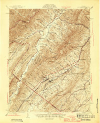
(12)- 1894 Map of Staunton, 1897 Print
 1894 Staunton1897 Print · USGSThe Shenandoah Valley was a hub of rail commerce and mountain industry in the 1890s, centered on the growing city of Staunton. Genealogists and historians can trace defunct rail stops and early industry at Giant Mills, Milnesville, and Stribling Spgs.8 unique versions available
 - 1943 Map of Craigsville, 1961 Print
 1943 Craigsville1961 Print · USGSThe Virginia mountains in the early 1940s reveal a landscape of rail-dependent valley towns and isolated mountain gaps. You can trace family roots through rural landmarks like Griffin Ch, the Wilderness Sch, and the high peak at Elliott Knob.
 - 1945 Map of Craigsville
 1945 Craigsville1945 Print · USGSAugusta and Bath counties are shown here in the mid-1940s, when the rail lines still dictated the growth of mountain valley towns. Researchers can trace the Chesapeake and Ohio RR through Craigsville or locate rural sites like Rocky Spring Ch and Wilderness Sch.2 unique versions available
 - 1949 Map of Charlottesville
 1949 Charlottesville1949 Print · USGSThe Shenandoah Valley and Blue Ridge appear in the late 1940s as a thriving corridor of rail and river commerce. Researchers can trace the mid-century footprints of Harrisonburg, Staunton, and Culpeper alongside the historic routes of the Southern Railway.2 unique versions available
 - 1956 Map of Charlottesville, 1966 Print
 1956 Charlottesville1966 Print · USGSThe Shenandoah Valley and Blue Ridge are captured in detail during the mid-1960s as the modern interstate system began to emerge. Genealogists and historians can trace rail-connected hubs like Waynesboro or follow the river paths of the Rapidan River and Rivanna River.4 unique versions available
 - 1967 Map of Augusta Springs, 1968 Print
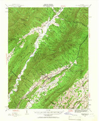
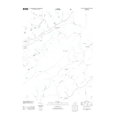
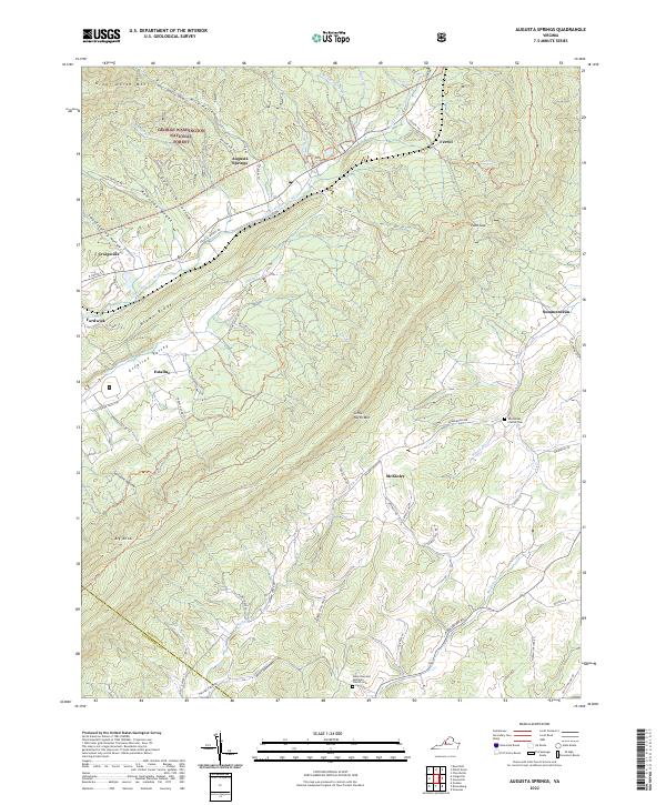
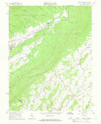 1967 Augusta Springs1968 Print · USGSAugusta County’s valley floor and mountain ridges are documented here in the late sixties, showing the vital link of the Chesapeake and Ohio railroad. Trace local industry and community life through the Estaline Furnace (Ruins), Miller Memorial Ch, and the settlement at Augusta Springs.3 unique versions available
 - 1986 Map of Staunton
 1986 Staunton1986 Print · USGSThe Shenandoah Valley and Allegheny Highlands meet in the mid-1980s, revealing a landscape of historic mountain towns and thermal resorts. Genealogists and historians can trace institutional landmarks like Mary Baldwin College or follow the legacy of the Chesapeake and Ohio Railroad through Craigsville and Swoope.2 unique versions available
 - 2011 Map of Augusta Springs, 2011 Print
 2011 Augusta Springs2011 Print · USGSCovers Augusta Springs, including Craigsville, Estaline, and other nearby areas
 - 2013 Map of Augusta Springs, 2013 Print
 2013 Augusta Springs2013 Print · USGSCovers Augusta Springs, including Craigsville, Estaline, and other nearby areas
 - 2016 Map of Augusta Springs, 2016 Print
 2016 Augusta Springs2016 Print · USGSCovers Augusta Springs, including Craigsville, Estaline, and other nearby areas
 - 2019 Map of Augusta Springs, 2019 Print
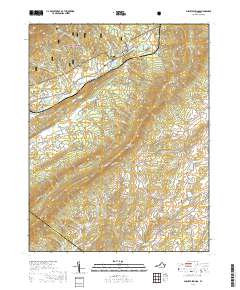 2019 Augusta Springs2019 Print · USGSCovers Augusta Springs, including Craigsville, Estaline, and other nearby areas
 - 2022 Map of Augusta Springs, 2022 Print
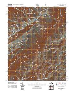
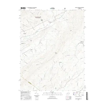
 2022 Augusta Springs2022 Print · USGSAugusta County’s western ridges and valley floors are captured in this modern survey of the Blue Ridge foothills. Researchers can trace rural lineages at Shemariah Church Cem and explore the historic settlements of Augusta Springs and Craigsville.
End of results
Showing maps 1-12 of 12
Top cities near Augusta Springs
Frequently asked questions
- What are the different types of historical maps available for Augusta Springs?
- What is the oldest map of Augusta Springs?
- Where can I purchase historical maps of Augusta Springs for my home or office?
- Where can I download high-res historical maps of Augusta Springs?
- Are there historical topographic maps available for Augusta Springs?
- Is there historical aerial imagery available for Augusta Springs?
- Where are historical maps of Augusta Springs sourced from?