Old Maps of Hebron, Virginia for Academic Research
Study the evolution of Hebron with 12 high-resolution historic maps. Whether you're teaching, researching, or modeling changes in land use, these maps provide essential visual documentation of urban, environmental, and geographic change.
- Analyze long-term change: Track patterns in development, transportation, and natural features.
- Ideal for environmental or urban studies: Support academic projects with primary historical map data.
- Use in the classroom or lab: Educators and researchers rely on these maps to bring historical context to life.
These maps are a powerful tool for teaching, research, and visualizing how Hebron has changed over the decades.
Hebron, VA maps
(12)- 1894 Map of Staunton, 1897 Print
 1894 Staunton1897 Print · USGSThe Shenandoah Valley was a hub of rail commerce and mountain industry in the 1890s, centered on the growing city of Staunton. Genealogists and historians can trace defunct rail stops and early industry at Giant Mills, Milnesville, and Stribling Spgs.8 unique versions available
 - 1944 Map of Staunton, 1961 Print
 1944 Staunton1961 Print · USGSThe Shenandoah Valley during the mid-forties remains a landscape of rail-connected trade centers and rural crossroads. Researchers can trace family roots through numerous country landmarks like Green Hill Cem, Franks Mill, and Jerusalem Chapel.2 unique versions available
 - 1947 Map of Staunton
 1947 Staunton1947 Print · USGSAugusta County at the end of the Second World War shows a vibrant Shenandoah Valley hub centered on the railroad crossing at Staunton. Genealogists can locate family landmarks like Glebe Cem, St Johns Ch, and the outlying settlement of Stuarts Draft.2 unique versions available
 - 1949 Map of Charlottesville
 1949 Charlottesville1949 Print · USGSThe Shenandoah Valley and Blue Ridge appear in the late 1940s as a thriving corridor of rail and river commerce. Researchers can trace the mid-century footprints of Harrisonburg, Staunton, and Culpeper alongside the historic routes of the Southern Railway.2 unique versions available
 - 1956 Map of Charlottesville, 1966 Print
 1956 Charlottesville1966 Print · USGSThe Shenandoah Valley and Blue Ridge are captured in detail during the mid-1960s as the modern interstate system began to emerge. Genealogists and historians can trace rail-connected hubs like Waynesboro or follow the river paths of the Rapidan River and Rivanna River.4 unique versions available
 - 1964 Map of Churchville, 1966 Print
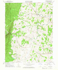 1964 Churchville1966 Print · USGSAugusta County in the mid-1960s was a landscape defined by the Middle River and the rural communities along the Chesapeake and Ohio line. Local historians can trace family-named sites like Trimbles Mill, Swoope, and the Loch Willow Cem.4 unique versions available
 - 1986 Map of Staunton
 1986 Staunton1986 Print · USGSThe Shenandoah Valley and Allegheny Highlands meet in the mid-1980s, revealing a landscape of historic mountain towns and thermal resorts. Genealogists and historians can trace institutional landmarks like Mary Baldwin College or follow the legacy of the Chesapeake and Ohio Railroad through Craigsville and Swoope.2 unique versions available
 - 2011 Map of Churchville, 2011 Print
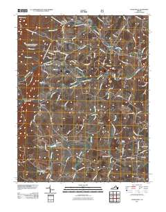 2011 Churchville2011 Print · USGSAugusta County in the early twenty-first century reveals a landscape shaped by the Middle River and historic rural crossroad communities. Researchers can trace family sites near Churchville, Trimbles Mill, and several local burial grounds like Hunters Cemetery.
 - 2013 Map of Churchville, 2013 Print
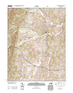 2013 Churchville2013 Print · USGSAugusta County’s rural landscape is captured here in the early twenty-first century, showing the established communities and river valleys west of Staunton. Researchers can trace the heritage of Churchville and Swoope or locate landmarks like Trimbles Mill and Buffalo Gap.
 - 2016 Map of Churchville, 2016 Print
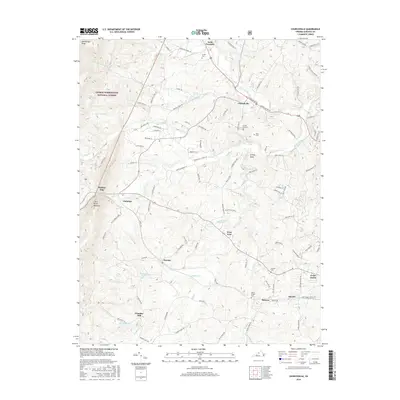 2016 Churchville2016 Print · USGSAugusta County in the mid-2010s reveals a landscape of enduring rural communities and forest highlands. Local historians can trace family roots at Green Hill Cem or locate old industrial sites like Trimbles Mill along the Middle River.
 - 2019 Map of Churchville, 2019 Print
 2019 Churchville2019 Print · USGSAugusta County settlement near the eastern slopes of the Alleghenies is captured here in the modern era. Trace local roots through the rural hamlets of Swoope and Churchville, or locate family sites near Hunters Cem and the historic Trimbles Mill.
 - 2022 Map of Churchville, 2022 Print
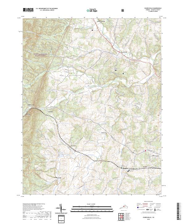 2022 Churchville2022 Print · USGSAugusta County’s rural character is on full display in this modern survey of the Churchville and Swoope areas. Researchers can trace historic church sites like Hebron Presbyterian Church and old milling locations at Trimbles Mill alongside numerous family cemeteries.
End of results
Showing maps 1-12 of 12
Top cities near Hebron
- Staunton historical maps
- Stuarts Draft historical maps
- Verona historical maps
- Lyndhurst historical maps
- Jolivue historical maps
- Craigsville historical maps
See more
Frequently asked questions
- What are the different types of historical maps available for Hebron?
- What is the oldest map of Hebron?
- Where can I purchase historical maps of Hebron for my home or office?
- Where can I download high-res historical maps of Hebron?
- Are there historical topographic maps available for Hebron?
- Is there historical aerial imagery available for Hebron?
- Where are historical maps of Hebron sourced from?