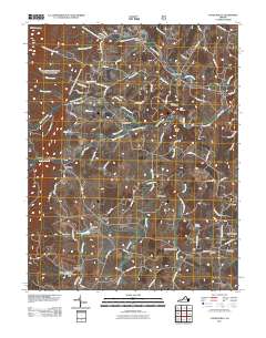
2011 Map of Churchville
USGS Topo · Published 2011About this map
Middle River and its various tributaries, such as Jennings Branch and Whisky Creek, define the agricultural and residential landscape of this part of Augusta County. Centered on Churchville, the area shows a pattern of small rural settlements including Lone Fountain, West View, and Swoope. The presence of Trimbles Mill and several smaller water control structures like Smithleigh Dam indicates a long-standing relationship with the local waterways.
Find a feature on this map
91 named features on this map. Tap any name to fly to it.
Don’t see what you’re looking for? This feature index may not catch every label — zoom into the map to look around manually.
Map Details
Editions of this 2011 Churchville Map
This is the sole edition of this map. No revisions or reprints were ever made.
Other maps of this area

1894 · Staunton
USGS Topo · 1:125,000

1924 · Mc Dowell
USGS Topo · 1:62,500

1943 · Craigsville
USGS Topo · 1:62,500

1944 · Parnassus
USGS Topo · 1:62,500

1944 · Mc Dowell
USGS Topo · 1:62,500

1944 · Staunton
USGS Topo · 1:62,500

1945 · Craigsville
USGS Topo · 1:62,500

1946 · Mc Dowell
USGS Topo · 1:62,500

1947 · Staunton
USGS Topo · 1:62,500

1947 · Parnassus
USGS Topo · 1:62,500