Old Maps of Stribling Springs, Virginia for Hiking & Exploration
Hike through history with 13 historic maps of Stribling Springs. Explore old trails, ghost towns, and forgotten backroads — perfect for outdoor adventurers and local explorers.
- Rediscover forgotten places: Map out old mining camps, roads, and footpaths that no longer exist on modern maps.
- Layer with modern tools: Combine with LiDAR or satellite views to plan hikes through historical terrain.
- Made for exploration: Popular among hikers, overlanders, and local history lovers.
Use these maps to find adventure and explore the hidden past of Stribling Springs.
Stribling Springs, VA maps
(13)- 1894 Map of Staunton, 1897 Print
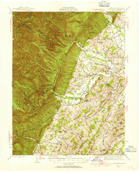
 1894 Staunton1897 Print · USGSThe Shenandoah Valley was a hub of rail commerce and mountain industry in the 1890s, centered on the growing city of Staunton. Genealogists and historians can trace defunct rail stops and early industry at Giant Mills, Milnesville, and Stribling Spgs.8 unique versions available
 - 1944 Map of Parnassus, 1955 Print
 1944 Parnassus1955 Print · USGSThe rural landscapes of Augusta County are shown here during the mid-1940s, where farming valleys meet the high ridges of the national forest. Researchers can locate family landmarks such as Fulton Sch, the towering Natural Chimneys, and small crossroads like Parnassus and Mt Solon.2 unique versions available
 - 1947 Map of Parnassus
 1947 Parnassus1947 Print · USGSThe rural landscape of Augusta and Rockingham counties is captured here in the mid-1940s, showing the transition from fertile valley farms to high mountain ridges. Genealogists and historians can trace family locations near Natural Chimneys, Mt Solon, and the Payne Chapel schoolhouse.2 unique versions available
 - 1949 Map of Charlottesville
 1949 Charlottesville1949 Print · USGSThe Shenandoah Valley and Blue Ridge appear in the late 1940s as a thriving corridor of rail and river commerce. Researchers can trace the mid-century footprints of Harrisonburg, Staunton, and Culpeper alongside the historic routes of the Southern Railway.2 unique versions available
 - 1956 Map of Charlottesville, 1966 Print
 1956 Charlottesville1966 Print · USGSThe Shenandoah Valley and Blue Ridge are captured in detail during the mid-1960s as the modern interstate system began to emerge. Genealogists and historians can trace rail-connected hubs like Waynesboro or follow the river paths of the Rapidan River and Rivanna River.4 unique versions available
 - 1967 Map of Stokesville, 1968 Print
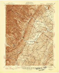
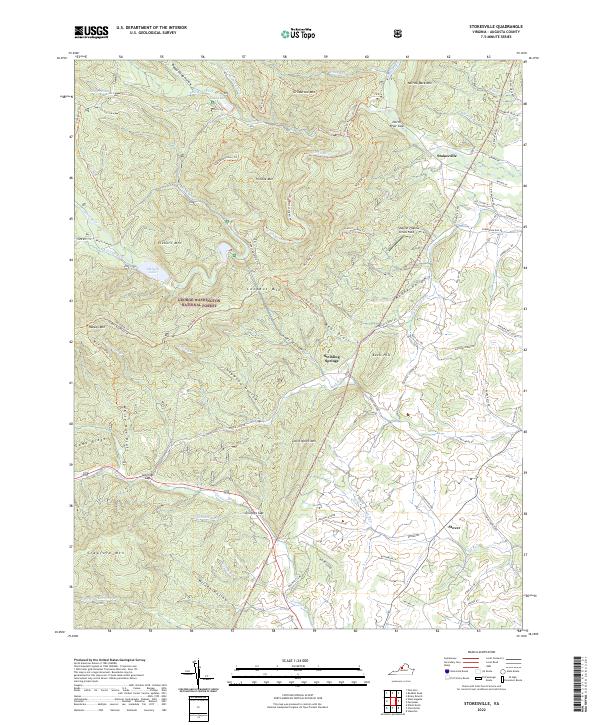
 1967 Stokesville1968 Print · USGSAugusta County in the late sixties reveals a landscape where the Shenandoah Valley meets the mountain wilderness. Genealogists and historians can trace family locations and rural landmarks like Stribling Springs, Whites Store, and the historic Jennings Gap passage.2 unique versions available
 - 1986 Map of Staunton
 1986 Staunton1986 Print · USGSThe Shenandoah Valley and Allegheny Highlands meet in the mid-1980s, revealing a landscape of historic mountain towns and thermal resorts. Genealogists and historians can trace institutional landmarks like Mary Baldwin College or follow the legacy of the Chesapeake and Ohio Railroad through Craigsville and Swoope.2 unique versions available
 - 1999 Map of Stokesville, 2000 Print
 1999 Stokesville2000 Print · USGSAugusta County remains a landscape of deep forest hollows and mountain gaps at the turn of the millennium. Local researchers can trace the rural footprints of Stokesville, find the site of Whites Store, or locate country churches like Paynes Chapel and Union Ch.
 - 2011 Map of Stokesville, 2011 Print
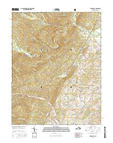
 2011 Stokesville2011 Print · USGSCovers Stribling Springs, including Stover, Stokesville, and other nearby areas
 - 2013 Map of Stokesville, 2013 Print
 2013 Stokesville2013 Print · USGSCovers Stribling Springs, including Stover, Stokesville, and other nearby areas
 - 2016 Map of Stokesville, 2016 Print
 2016 Stokesville2016 Print · USGSCovers Stribling Springs, including Stover, Stokesville, and other nearby areas
 - 2019 Map of Stokesville, 2019 Print
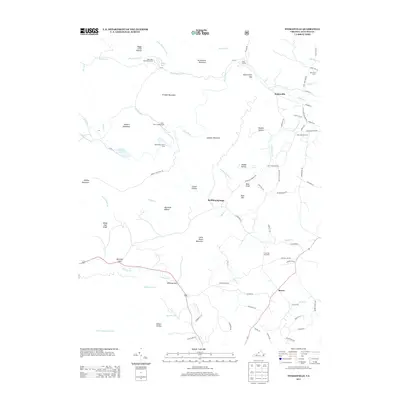
 2019 Stokesville2019 Print · USGSCovers Stribling Springs, including Stover, Stokesville, and other nearby areas
 - 2022 Map of Stokesville, 2022 Print
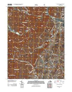
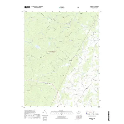
 2022 Stokesville2022 Print · USGSAugusta County, Virginia, is shown here in the 2020s, where the high ridges of the Alleghenies meet the pastoral valleys of the Blue Ridge foothills. Researchers can trace historic mountain passes and local landmarks like Stribling Springs, the community of Stokesville, and the remote North River Gap.
End of results
Showing maps 1-13 of 13
Top cities near Stribling Springs
- Staunton historical maps
- Bridgewater historical maps
- Verona historical maps
- Dayton historical maps
- Jolivue historical maps
- Craigsville historical maps
See more
Frequently asked questions
- What are the different types of historical maps available for Stribling Springs?
- What is the oldest map of Stribling Springs?
- Where can I purchase historical maps of Stribling Springs for my home or office?
- Where can I download high-res historical maps of Stribling Springs?
- Are there historical topographic maps available for Stribling Springs?
- Is there historical aerial imagery available for Stribling Springs?
- Where are historical maps of Stribling Springs sourced from?