Old Maps of Wilda, Virginia for Hiking & Exploration
Hike through history with 12 historic maps of Wilda. Explore old trails, ghost towns, and forgotten backroads — perfect for outdoor adventurers and local explorers.
- Rediscover forgotten places: Map out old mining camps, roads, and footpaths that no longer exist on modern maps.
- Layer with modern tools: Combine with LiDAR or satellite views to plan hikes through historical terrain.
- Made for exploration: Popular among hikers, overlanders, and local history lovers.
Use these maps to find adventure and explore the hidden past of Wilda.
Wilda, VA maps
(12)- 1894 Map of Staunton, 1897 Print
 1894 Staunton1897 Print · USGSThe Shenandoah Valley was a hub of rail commerce and mountain industry in the 1890s, centered on the growing city of Staunton. Genealogists and historians can trace defunct rail stops and early industry at Giant Mills, Milnesville, and Stribling Spgs.8 unique versions available
 - 1944 Map of Staunton, 1961 Print
 1944 Staunton1961 Print · USGSThe Shenandoah Valley during the mid-forties remains a landscape of rail-connected trade centers and rural crossroads. Researchers can trace family roots through numerous country landmarks like Green Hill Cem, Franks Mill, and Jerusalem Chapel.2 unique versions available
 - 1947 Map of Staunton
 1947 Staunton1947 Print · USGSAugusta County at the end of the Second World War shows a vibrant Shenandoah Valley hub centered on the railroad crossing at Staunton. Genealogists can locate family landmarks like Glebe Cem, St Johns Ch, and the outlying settlement of Stuarts Draft.2 unique versions available
 - 1949 Map of Charlottesville
 1949 Charlottesville1949 Print · USGSThe Shenandoah Valley and Blue Ridge appear in the late 1940s as a thriving corridor of rail and river commerce. Researchers can trace the mid-century footprints of Harrisonburg, Staunton, and Culpeper alongside the historic routes of the Southern Railway.2 unique versions available
 - 1956 Map of Charlottesville, 1966 Print
 1956 Charlottesville1966 Print · USGSThe Shenandoah Valley and Blue Ridge are captured in detail during the mid-1960s as the modern interstate system began to emerge. Genealogists and historians can trace rail-connected hubs like Waynesboro or follow the river paths of the Rapidan River and Rivanna River.4 unique versions available
 - 1964 Map of Stuarts Draft, 1965 Print
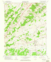 1964 Stuarts Draft1965 Print · USGSAugusta County in the mid-sixties reveals a landscape of rural community and burgeoning infrastructure. Genealogists and local historians can trace family ties through Beverly Manor Cemetery, Good Shepherd Church, and settlements like Stuarts Draft and White Hill.3 unique versions available
 - 1986 Map of Staunton
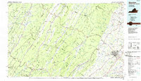 1986 Staunton1986 Print · USGSThe Shenandoah Valley and Allegheny Highlands meet in the mid-1980s, revealing a landscape of historic mountain towns and thermal resorts. Genealogists and historians can trace institutional landmarks like Mary Baldwin College or follow the legacy of the Chesapeake and Ohio Railroad through Craigsville and Swoope.2 unique versions available
 - 2011 Map of Stuarts Draft, 2011 Print
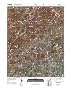 2011 Stuarts Draft2011 Print · USGSThe Shenandoah Valley landscape near Stuarts Draft is shown here as it transitioned in the early 21st century. Researchers can trace historic community centers like Mint Spring, Barterbrook, and White Hill alongside the South River and its many tributary runs.
 - 2013 Map of Stuarts Draft, 2013 Print
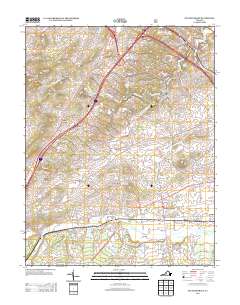 2013 Stuarts Draft2013 Print · USGSThe Augusta County valley around the turn of the millennium shows a landscape of growing residential hubs and ancestral waterways. Genealogists and local historians can trace family-named locations from Jolivue down to White Hill, Avis, and the banks of Johns Run.
 - 2016 Map of Stuarts Draft, 2016 Print
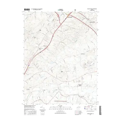 2016 Stuarts Draft2016 Print · USGSAugusta County during its modern period of growth shows a blend of expanding suburban centers and protected wilderness. Local historians can trace established settlements like Stuarts Draft and Mint Spring alongside natural features like Lake Wilda and Chestnut Ridge.
 - 2019 Map of Stuarts Draft, 2019 Print
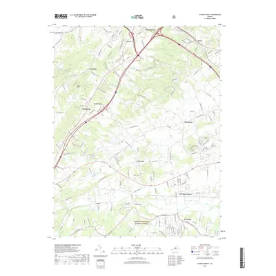 2019 Stuarts Draft2019 Print · USGSThe Shenandoah Valley south of Staunton is captured here during a period of modern growth and conservation. Genealogists and historians can trace family-named features and rural settlements from Folly Mills and Mint Spring to the waters of Christians Creek.
 - 2022 Map of Stuarts Draft, 2022 Print
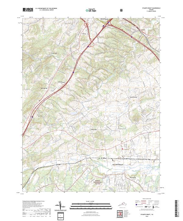 2022 Stuarts Draft2022 Print · USGSAugusta County at the turn of the millennium shows the expansion of residential clusters between the forest and the city. Trace local developments and water features from Rivermont and Stuarts Draft up to the rural lanes of Folly Mills.
End of results
Showing maps 1-12 of 12
Top cities near Wilda
- Staunton historical maps
- Waynesboro historical maps
- Stuarts Draft historical maps
- Verona historical maps
- Lyndhurst historical maps
- Nellysford historical maps
See more
Frequently asked questions
- What are the different types of historical maps available for Wilda?
- What is the oldest map of Wilda?
- Where can I purchase historical maps of Wilda for my home or office?
- Where can I download high-res historical maps of Wilda?
- Are there historical topographic maps available for Wilda?
- Is there historical aerial imagery available for Wilda?
- Where are historical maps of Wilda sourced from?