Old Maps of Fincastle, Virginia for Genealogy
Trace your family roots with 39 historic maps of Fincastle. These high-res maps reveal old neighborhoods, homesites, landmarks, and streets — helping you uncover where your ancestors lived and how the area evolved over time.
- Explore historic neighborhoods: Identify where your relatives may have lived in the 1800s or 1900s.
- Compare maps over time: Trace the changes in streets, buildings, and landmarks for multi-generational research.
- Perfect for genealogy & ancestry research: Used by family historians and researchers to map out lineage and migration.
These maps are an incredible resource for exploring your personal connection to Fincastle's past.
Fincastle, VA maps
(39)- 1890 Map of Roanoke
 1890 Roanoke1890 Print · USGSThe Roanoke Valley in the late nineteenth century was a growing rail and mining hub shaped by the Blue Ridge. Researchers can trace the early industrial footprint of the Rorer Mines or locate old community anchors like Dillons Mill and Hales Bridge.
 - 1891 Map of Roanoke
 1891 Roanoke1891 Print · USGSVirginia's Blue Ridge and Roanoke Valley come alive in the late nineteenth century, showing a landscape defined by new rail lines and old river crossings. Genealogists and local researchers can trace family landmarks and forgotten transport nodes like Rorer Mines, Hollins Inst., and Blackwater Ford.8 unique versions available
 - 1894 Map of Natural Bridge, 1898 Print
 1894 Natural Bridge1898 Print · USGSThe Virginia ridges thrived with iron furnaces and mineral springs during the 1890s. Genealogists and historians can trace the early industrial footprint of Long Dale Furnace and Victoria Mines, or locate local landmarks like Lick Run Ferry and Rapps Mill.7 unique versions available
 - 1913 Map of Eagle Rock
 1913 Eagle Rock1913 Print · USGSBotetourt County at the dawn of the twentieth century shows a landscape tied to the James River and iron-era industry. Genealogists can trace family roots through numerous local landmarks like Salisbury Furnace, Fincastle, and the Fair Grounds.2 unique versions available
 - 1915 Map of Eagle Rock
 1915 Eagle Rock1915 Print · USGSBotetourt and Alleghany counties are captured here during a transitional era of mountain industry and rail expansion. Genealogists can locate family landmarks like Kyles Mills and Comptons Bridge, or trace vanished communities at Lignite and Oriskany.3 unique versions available
 - 1929 Map of Roanoke
 1929 Roanoke1929 Print · USGSThe Roanoke Valley is shown just before the Great Depression, documenting the area's transition from rural townships to a developing urban center. Genealogists can locate family landmarks such as Forest Chapel Sch, Coyner Springs, and the early neighborhoods of Riverdale.3 unique versions available
 - 1933 Map of Roanoke
 1933 Roanoke1933 Print · USGSThe Roanoke Valley in the early thirties shows a thriving rail-and-river hub surrounded by a landscape of small crossroads schools and churches. Genealogists can trace family names through landmarks like Hollins College, Gravel Hill Sch, and Trinity church.3 unique versions available
 - 1947 Map of Roanoke, 1948 Print
 1947 Roanoke1948 Print · USGSCentral Virginia in the late 1940s reveals a region defined by its great mountain ridges and the powerful river-and-rail economy connecting Roanoke to Lynchburg. Researchers can trace the path of the Virginian RR and locate historic county seats like Charlotte Court House.2 unique versions available
 - 1959 Map of Roanoke
 1959 Roanoke1959 Print · USGSCentral Virginia and the Blue Ridge appear in great detail during the late fifties, showcasing the transition from mountain industry to Piedmont farmland. Trace the path of the Norfolk and Western railroad or find old river towns like Appomattox and Amelia Court House.
 - 1962 Map of Oriskany, 1964 Print
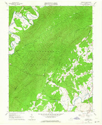 1962 Oriskany1964 Print · USGSThe Botetourt County backcountry is captured here in the early sixties, showing a landscape defined by the Jefferson National Forest and the winding Craig Creek. Researchers can locate the Craig Railroad Grade and numerous family burial sites like McAlester Cem and Peck Cem.3 unique versions available
 - 1962 Map of Salisbury, 1964 Print
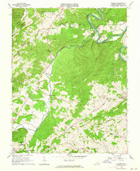 1962 Salisbury1964 Print · USGSBotetourt County's iron heritage and river geography are recorded here in the early 1960s. Genealogists and historians can trace the Salisbury Furnace ruins and family sites like Linkenhoker Cem and Kyles Mills.2 unique versions available
 - 1963 Map of Roanoke
 1963 Roanoke1963 Print · USGSCentral Virginia and the Blue Ridge front appear here in the early sixties, caught between their deep railroad roots and new postwar developments. Genealogists and historians can trace the rail lines of the Norfolk and Western through towns like Bedford and Altavista, or locate family landmarks near Smith Mountain Lake.
 - 1963 Map of Villamont, 1964 Print
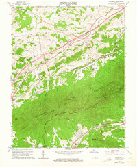 1963 Villamont1964 Print · USGSBotetourt County in the early sixties showcases the steep rise of the Blue Ridge above the Norfolk and Western rail line. Genealogists and hikers can trace the original paths of the Appalachian Trail, family burials at Booze Cem, and the old Prison Camp.4 unique versions available
 - 1963 Map of Daleville, 1965 Print
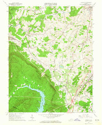 1963 Daleville1965 Print · USGSBotetourt County in the early sixties shows a rural landscape of mountain ridges and valley settlements before major suburban expansion. Genealogists and historians can trace old homesteads and family sites near Fincastle, Glebe Mills, and Greenfield Cem.4 unique versions available
 - 1971 Map of Roanoke, 1977 Print
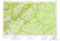 1971 Roanoke1977 Print · USGSThe Virginia Piedmont and Blue Ridge mountains meet in this early 1970s landscape of river valleys and rail hubs. Researchers can trace historic transportation routes and landmarks like the Appomattox Court House Nat Hist Pk, the Peaks of Otter, and Amelia Court House.2 unique versions available
 - 1977 Map of Daleville, 1983 Print
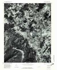 1977 Daleville1983 Print · USGSBotetourt County in the late seventies is shown here through high-resolution aerial imagery, capturing the valley floor between two major mountain ridges. Genealogists and historians can pinpoint homes and landmarks near Fincastle, Glebe Mills, and Troutville.
 - 1985 Map of Roanoke, 1986 Print
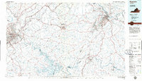 1985 Roanoke1986 Print · USGSMid-eighties Virginia comes into focus across the Blue Ridge and the upper Roanoke River valley during a period of steady regional growth. Genealogists and historians can trace family-named landmarks like Mt Moriah Ch, local hubs such as Cave Spring, and sites like the New London Airport (Drag Strip).2 unique versions available
 - 1986 Map of Buena Vista
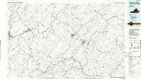 1986 Buena Vista1986 Print · USGSThe mid-eighties landscape around Rockbridge County comes alive in this survey of the Blue Ridge and Allegheny foothills. Researchers can trace the legacy of institutions like Washington and Lee University or follow the historic Chesapeake and Ohio Railway through Clifton Forge.2 unique versions available
 - 1999 Map of Villamont, 2000 Print
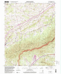 1999 Villamont2000 Print · USGSBotetourt County at the close of the century shows a landscape defined by its mountain ridges and rail history. Genealogists and historians can trace local landmarks like Gravel Hill Ch Cem, the Spec Mines, and the path of the Appalachian Trail.
 - 2011 Map of Salisbury, 2011 Print
 2011 Salisbury2011 Print · USGSBotetourt County at the start of the 2010s shows a landscape where industrial heritage and family history are deeply intertwined along the James River. Researchers can locate established landmarks like Salisbury Furnace and several burial grounds including Houseman Cemetery and Wesley Chapel Cemetery.
 - 2011 Map of Daleville, 2011 Print
 2011 Daleville2011 Print · USGSBotetourt County at the start of the 2010s shows a landscape of growing valley settlements alongside historic family landmarks. Researchers can trace ancestral sites at Peery Cemetery and Boyer Cemetery or locate old community hubs like Glebe Mills and Lone Star.
 - 2011 Map of Oriskany, 2011 Print
 2011 Oriskany2011 Print · USGSOriskany and the surrounding ridges of Botetourt County appear in this recent survey of Virginia's mountain valleys. Researchers can locate family burial sites like Peck Cemetery and Crawford Cemetery or trace old water-powered locations at Howell Mills.
 - 2011 Map of Villamont, 2011 Print
 2011 Villamont2011 Print · USGSThe Botetourt County corridor comes alive in the early twenty-first century as a blend of rural settlements and mountain transit. Researchers can trace family history at Booze Cemetery or explore landmarks like Camp Bethel and Troutville.
 - 2013 Map of Daleville, 2013 Print
 2013 Daleville2013 Print · USGSBotetourt County settlements and ridges are shown in detail during the early 2000s as the area's modern footprint takes shape. Researchers can trace historic locations like Glebe Mills, Amsterdam, and the high ground of Tinker Mountain.
 - 2013 Map of Villamont, 2013 Print
 2013 Villamont2013 Print · USGSBotetourt County mountain communities and gap crossings are captured here in the early twenty-first century. Genealogists and hikers can trace connections between Villamont, Troutville, and Lithia, or locate landmarks like Camp Bethel and Blackhorse Gap.
Showing maps 1-25 of 39
Top cities near Fincastle
- Salem historical maps
- Hollins historical maps
- Vinton historical maps
- Cloverdale historical maps
- Daleville historical maps
- Buchanan historical maps
See more
Frequently asked questions
- What are the different types of historical maps available for Fincastle?
- What is the oldest map of Fincastle?
- Where can I purchase historical maps of Fincastle for my home or office?
- Where can I download high-res historical maps of Fincastle?
- Are there historical topographic maps available for Fincastle?
- Is there historical aerial imagery available for Fincastle?
- Where are historical maps of Fincastle sourced from?