Old Maps of Solitude, Virginia for Metal Detecting
Plan your next treasure hunt with 15 historic maps of Solitude. Find old homesites, ghost towns, trails, and gathering spots that may be lost to time — perfect for identifying promising metal detecting locations.
- Locate forgotten sites: Uncover places like long-lost settlements, abandoned rail lines, or gathering spots.
- Plan better hunts: Use map overlays combined with LiDAR or satellite views to narrow in on historically rich areas.
- Made for detectorists: Thousands of hobbyists use these maps to discover relics, coins, and hidden history.
Use these historic maps to boost your research and find new opportunities beneath the surface of Solitude.
Solitude, VA maps
(15)- 1894 Map of Natural Bridge, 1898 Print
 1894 Natural Bridge1898 Print · USGSThe Virginia ridges thrived with iron furnaces and mineral springs during the 1890s. Genealogists and historians can trace the early industrial footprint of Long Dale Furnace and Victoria Mines, or locate local landmarks like Lick Run Ferry and Rapps Mill.7 unique versions available
 - 1894 Map of Natural Bridge, 1926 Print
 1894 Natural Bridge1926 Print · USGSThe Virginia highlands during the 1890s were a powerhouse of iron production and river commerce. You can trace the rail-and-river economy through landmarks like the Lick Run Ferry, Victoria Mines, and the Long Dale Furnace.
 - 1907 Map of Natural Bridge Special
 1907 Natural Bridge Special1907 Print · USGSThe James River corridor in Botetourt and Rockbridge counties is captured here just after the turn of the century. Genealogists can locate family landmarks like Rapps Mill, Dunkard Church, and the riverfront settlement of Buchanan along the Chesapeake and Ohio RR.4 unique versions available
 - 1947 Map of Roanoke, 1948 Print
 1947 Roanoke1948 Print · USGSCentral Virginia in the late 1940s reveals a region defined by its great mountain ridges and the powerful river-and-rail economy connecting Roanoke to Lynchburg. Researchers can trace the path of the Virginian RR and locate historic county seats like Charlotte Court House.2 unique versions available
 - 1959 Map of Roanoke
 1959 Roanoke1959 Print · USGSCentral Virginia and the Blue Ridge appear in great detail during the late fifties, showcasing the transition from mountain industry to Piedmont farmland. Trace the path of the Norfolk and Western railroad or find old river towns like Appomattox and Amelia Court House.
 - 1961 Map of Arnold Valley, 1963 Print
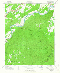 1961 Arnold Valley1963 Print · USGSBotetourt and Rockbridge counties are shown here in the early sixties as industrial rail lines follow the bends of the James River. Genealogists and historians can locate old landmarks like the Glenwood Furnace (Ruins), Bedford Air Force Station, and High Bridge Cem.3 unique versions available
 - 1963 Map of Roanoke
 1963 Roanoke1963 Print · USGSCentral Virginia and the Blue Ridge front appear here in the early sixties, caught between their deep railroad roots and new postwar developments. Genealogists and historians can trace the rail lines of the Norfolk and Western through towns like Bedford and Altavista, or locate family landmarks near Smith Mountain Lake.
 - 1971 Map of Roanoke, 1977 Print
 1971 Roanoke1977 Print · USGSThe Virginia Piedmont and Blue Ridge mountains meet in this early 1970s landscape of river valleys and rail hubs. Researchers can trace historic transportation routes and landmarks like the Appomattox Court House Nat Hist Pk, the Peaks of Otter, and Amelia Court House.2 unique versions available
 - 1986 Map of Buena Vista
 1986 Buena Vista1986 Print · USGSThe mid-eighties landscape around Rockbridge County comes alive in this survey of the Blue Ridge and Allegheny foothills. Researchers can trace the legacy of institutions like Washington and Lee University or follow the historic Chesapeake and Ohio Railway through Clifton Forge.2 unique versions available
 - 1999 Map of Arnold Valley, 2000 Print
 1999 Arnold Valley2000 Print · USGSThe James River and Blue Ridge heights meet in this mountain landscape at the end of the century. Genealogists and historians can trace the Chesapeake and Ohio rail line past Gilmore Mills or locate the Glenwood Furnace ruin and High Bridge Cem.
 - 2011 Map of Arnold Valley, 2011 Print
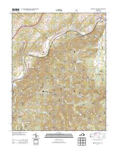
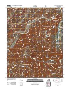 2011 Arnold Valley2011 Print · USGSCovers Solitude, including Alpine, Natural Bridge Station, and other nearby areas
 - 2013 Map of Arnold Valley, 2013 Print
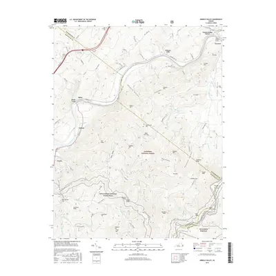
 2013 Arnold Valley2013 Print · USGSCovers Solitude, including Alpine, Natural Bridge Station, and other nearby areas
 - 2016 Map of Arnold Valley, 2016 Print
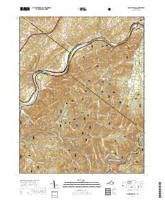
 2016 Arnold Valley2016 Print · USGSCovers Solitude, including Alpine, Natural Bridge Station, and other nearby areas
 - 2019 Map of Arnold Valley, 2019 Print
 2019 Arnold Valley2019 Print · USGSCovers Solitude, including Alpine, Natural Bridge Station, and other nearby areas
 - 2022 Map of Arnold Valley, 2022 Print
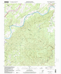
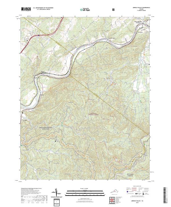 2022 Arnold Valley2022 Print · USGSThe James River corridor near the Rockbridge and Botetourt line was a center of early river transport and mountain industry. Genealogists and historians can trace family cemeteries like Mount Olivet Cem and the riverfront communities of Gilmore Mills and Natural Bridge Station.
End of results
Showing maps 1-15 of 15
Top cities near Solitude
- Lexington historical maps
- Bedford historical maps
- Buchanan historical maps
- Glasgow historical maps
- Eagle Rock historical maps
- Glen Wilton historical maps
Frequently asked questions
- What are the different types of historical maps available for Solitude?
- What is the oldest map of Solitude?
- Where can I purchase historical maps of Solitude for my home or office?
- Where can I download high-res historical maps of Solitude?
- Are there historical topographic maps available for Solitude?
- Is there historical aerial imagery available for Solitude?
- Where are historical maps of Solitude sourced from?