2000s (21st Century) Maps of Tappahannock, Virginia
Explore 10 historic maps of Tappahannock from the 2000s (21st Century). These maps offer a rare glimpse into what life looked like during the 2000s — showing old roads, neighborhoods, homes, and landmarks that have changed or disappeared over time.
Whether you're researching your family's past, planning a metal detecting trip, or studying how Tappahannock's landscape evolved across the 2000s, these high-resolution maps are a powerful tool for exploring the history of this region.
- Focus on a specific era: All maps on this page are from the 2000s, giving you a focused view of this time period.
- See what’s changed: Compare century-old streets, trails, and buildings to today's modern landscape using overlays and satellite layers.
- Research with precision: Use these maps for genealogy, historical research, land use analysis, or educational projects.
- View, download, or print: Maps are fully viewable online in high resolution, and can be downloaded or printed for your own records.
Start exploring Tappahannock's history through authentic maps from the 2000s. This is your window into the past.
Tappahannock, VA maps
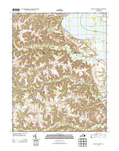
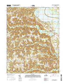
(10)- 2010 Map of Mount Landing, 2010 Print
 2010 Mount Landing2010 Print · USGSCovers Tappahannock, including Mount Landing, Kino, and other nearby areas
 - 2011 Map of Tappahannock, 2011 Print
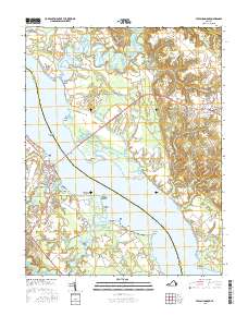
 2011 Tappahannock2011 Print · USGSCovers Tappahannock, including Warsaw, Naylors, and other nearby areas
 - 2013 Map of Tappahannock, 2013 Print
 2013 Tappahannock2013 Print · USGSCovers Tappahannock, including Warsaw, Naylors, and other nearby areas
 - 2013 Map of Mount Landing, 2013 Print
 2013 Mount Landing2013 Print · USGSCovers Tappahannock, including Mount Landing, Kino, and other nearby areas
 - 2016 Map of Tappahannock, 2016 Print
 2016 Tappahannock2016 Print · USGSCovers Tappahannock, including Warsaw, Naylors, and other nearby areas
 - 2016 Map of Mount Landing, 2016 Print
 2016 Mount Landing2016 Print · USGSCovers Tappahannock, including Mount Landing, Kino, and other nearby areas
 - 2019 Map of Tappahannock, 2019 Print
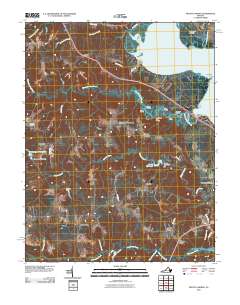
 2019 Tappahannock2019 Print · USGSCovers Tappahannock, including Warsaw, Naylors, and other nearby areas
 - 2019 Map of Mount Landing, 2019 Print
 2019 Mount Landing2019 Print · USGSCovers Tappahannock, including Mount Landing, Kino, and other nearby areas
 - 2022 Map of Mount Landing, 2022 Print
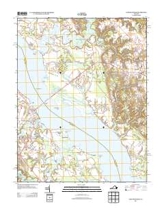
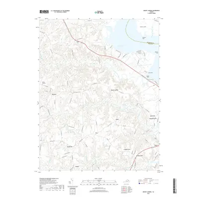
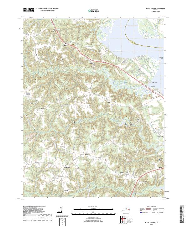 2022 Mount Landing2022 Print · USGSCoastal Essex County meets the Rappahannock River in this detailed recent survey of Virginia's Tidewater region. Researchers can trace rural settlement patterns and local lineage through landmarks like the New Mount Zion Baptist Church Cemetery, Scotts Millpond, and the community of Mount Landing.
 - 2022 Map of Tappahannock, 2022 Print
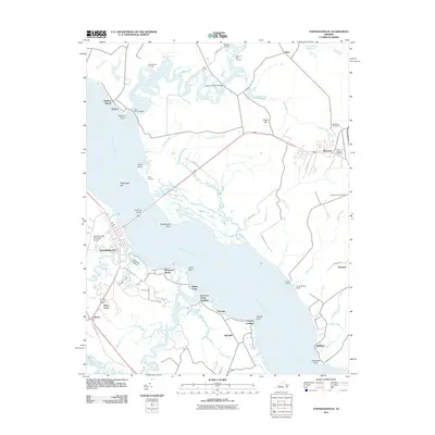
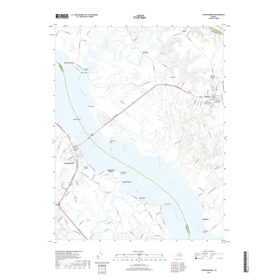
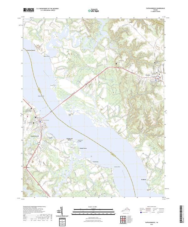 2022 Tappahannock2022 Print · USGSThe Rappahannock River divides Richmond and Essex counties in this contemporary view of Virginia's historic Tidewater region. Researchers can trace local heritage through the Essex County Courthouse, Tayloe Cem, and Ferry Point.
End of results
Showing maps 1-10 of 10
Top cities near Tappahannock
Top neighborhoods of Tappahannock
Frequently asked questions
- What are the different types of historical maps available for Tappahannock?
- What is the oldest map of Tappahannock?
- Where can I purchase historical maps of Tappahannock for my home or office?
- Where can I download high-res historical maps of Tappahannock?
- Are there historical topographic maps available for Tappahannock?
- Is there historical aerial imagery available for Tappahannock?
- Where are historical maps of Tappahannock sourced from?