1950s Maps of Fairfax County, Virginia
Explore 37 historic maps of Fairfax County from the 1950s. These maps offer a rare glimpse into what life looked like during the 1950s — showing old roads, neighborhoods, homes, and landmarks that have changed or disappeared over time.
Whether you're researching your family's past, planning a metal detecting trip, or studying how Fairfax County's landscape evolved across the 1950s, these high-resolution maps are a powerful tool for exploring the history of this region.
- Focus on a specific era: All maps on this page are from the 1950s, giving you a focused view of this time period.
- See what’s changed: Compare century-old streets, trails, and buildings to today's modern landscape using overlays and satellite layers.
- Research with precision: Use these maps for genealogy, historical research, land use analysis, or educational projects.
- View, download, or print: Maps are fully viewable online in high resolution, and can be downloaded or printed for your own records.
Start exploring Fairfax County's history through authentic maps from the 1950s. This is your window into the past.
Fairfax County, VA maps
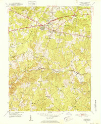
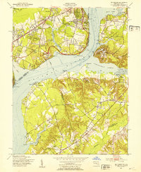
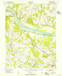
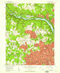
(37)- 1951 Map of Washington West
 1951 Washington West1951 Print · USGSCovers Fairfax County, including Washington, Arlington, and other nearby areas
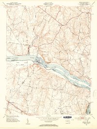
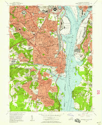
 - 1951 Map of Alexandria
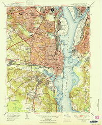 1951 Alexandria1951 Print · USGSCovers Fairfax County, including Washington, Alexandria, and other nearby areas
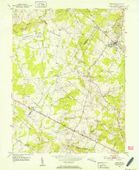
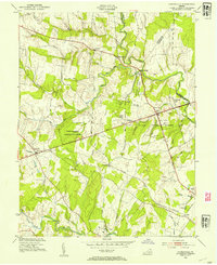
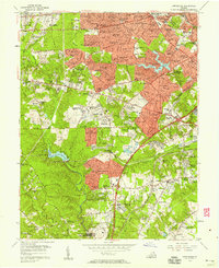
 - 1951 Map of Annandale
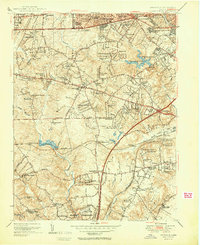 1951 Annandale1951 Print · USGSCovers Fairfax County, including Annandale, Springfield, and other nearby areas2 unique versions available
 - 1951 Map of Rockville
 1951 Rockville1951 Print · USGSCovers Fairfax County, including Gaithersburg, Bethesda, and other nearby areas2 unique versions available
 - 1951 Map of Falls Church
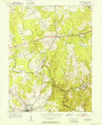
 1951 Falls Church1951 Print · USGSCovers Fairfax County, including Bethesda, McLean, and other nearby areas
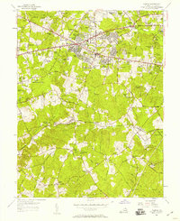
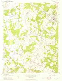
 - 1951 Map of Fairfax, 1952 Print
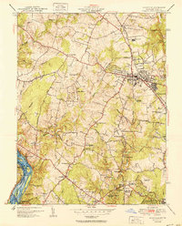
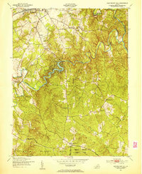
 1951 Fairfax1952 Print · USGSCovers Fairfax County, including Burke, Fair Oaks, and other nearby areas
 - 1951 Map of Herndon, 1952 Print
 1951 Herndon1952 Print · USGSCovers Fairfax County, including Oak Hill, Herndon, and other nearby areas
 - 1951 Map of Manassas, 1952 Print
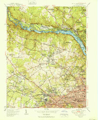
 1951 Manassas1952 Print · USGSCovers Fairfax County, including Centreville, Manassas, and other nearby areas
 - 1951 Map of Vienna, 1952 Print
 1951 Vienna1952 Print · USGSCovers Fairfax County, including Reston, Oakton, and other nearby areas
 - 1951 Map of Independent Hill, 1953 Print
 1951 Independent Hill1953 Print · USGSCovers Fairfax County, including Buckhall, Independent Hill, and other nearby areas
 - 1951 Map of Mt Vernon, 1953 Print
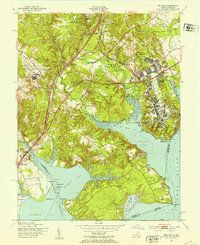
 1951 Mt Vernon1953 Print · USGSCovers Fairfax County, including Woodlawn, Fort Hunt, and other nearby areas2 unique versions available
 - 1951 Map of Belvoir, 1953 Print
 1951 Belvoir1953 Print · USGSCovers Fairfax County, including Lorton, Newington, and other nearby areas2 unique versions available
 - 1951 Map of Occoquan, 1953 Print
 1951 Occoquan1953 Print · USGSCovers Fairfax County, including Dale City, Lake Ridge, and other nearby areas
 - 1951 Map of Indian Head, 1954 Print
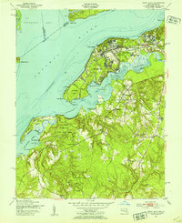 1951 Indian Head1954 Print · USGSCovers Fairfax County, including Indian Head, Potomac Heights, and other nearby areas2 unique versions available
 - 1952 Map of Sterling, 1954 Print
 1952 Sterling1954 Print · USGSCovers Fairfax County, including Ashburn, Sterling, and other nearby areas3 unique versions available
 - 1952 Map of Seneca, 1954 Print
 1952 Seneca1954 Print · USGSCovers Fairfax County, including Gaithersburg, Lowes Island, and other nearby areas4 unique versions available
 - 1953 Map of Gainesville, 1954 Print
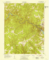
 1953 Gainesville1954 Print · USGSCovers Fairfax County, including Linton Hall, Gainesville, and other nearby areas2 unique versions available
 - 1954 Map of Baltimore
 1954 Baltimore1954 Print · USGSCovers Fairfax County, including Baltimore, Columbia, and other nearby areas
 - 1955 Map of Fairfax, 1958 Print
 1955 Fairfax1958 Print · USGSCovers Fairfax County, including Burke, Fair Oaks, and other nearby areas2 unique versions available
 - 1956 Map of Baltimore
 1956 Baltimore1956 Print · USGSCovers Fairfax County, including Baltimore, Columbia, and other nearby areas
 - 1956 Map of Falls Church, 1958 Print
 1956 Falls Church1958 Print · USGSCovers Fairfax County, including Bethesda, McLean, and other nearby areas2 unique versions available
 - 1956 Map of Annandale, 1958 Print
 1956 Annandale1958 Print · USGSCovers Fairfax County, including Annandale, Springfield, and other nearby areas
 - 1956 Map of Herndon, 1958 Print
 1956 Herndon1958 Print · USGSCovers Fairfax County, including Oak Hill, Herndon, and other nearby areas2 unique versions available
 - 1956 Map of Alexandria, 1958 Print
 1956 Alexandria1958 Print · USGSCovers Fairfax County, including Washington, Alexandria, and other nearby areas
 - 1956 Map of Washington West, 1958 Print
 1956 Washington West1958 Print · USGSCovers Fairfax County, including Washington, Arlington, and other nearby areas
Showing maps 1-25 of 37
Top cities of Fairfax County
- Centreville historical maps
- Reston historical maps
- McLean historical maps
- Oak Hill historical maps
- Burke historical maps
- Annandale historical maps
See more
Frequently asked questions
- What are the different types of historical maps available for Fairfax County?
- What is the oldest map of Fairfax County?
- Where can I purchase historical maps of Fairfax County for my home or office?
- Where can I download high-res historical maps of Fairfax County?
- Are there historical topographic maps available for Fairfax County?
- Is there historical aerial imagery available for Fairfax County?
- Where are historical maps of Fairfax County sourced from?