1940s Maps of Fairfax County, Virginia
Explore 21 historic maps of Fairfax County from the 1940s. These maps offer a rare glimpse into what life looked like during the 1940s — showing old roads, neighborhoods, homes, and landmarks that have changed or disappeared over time.
Whether you're researching your family's past, planning a metal detecting trip, or studying how Fairfax County's landscape evolved across the 1940s, these high-resolution maps are a powerful tool for exploring the history of this region.
- Focus on a specific era: All maps on this page are from the 1940s, giving you a focused view of this time period.
- See what’s changed: Compare century-old streets, trails, and buildings to today's modern landscape using overlays and satellite layers.
- Research with precision: Use these maps for genealogy, historical research, land use analysis, or educational projects.
- View, download, or print: Maps are fully viewable online in high resolution, and can be downloaded or printed for your own records.
Start exploring Fairfax County's history through authentic maps from the 1940s. This is your window into the past.
Fairfax County, VA maps
(21)- 1940 Map of Quantico
 1940 Quantico1940 Print · USGSCoastal Virginia and Maryland are captured here during the late pre-war era, showing the growing military footprint around the Potomac. Genealogists can trace family names and landmarks like Sinclairs Mill, Bacon Race School, and the historic Dumfries settlement.2 unique versions available
 - 1943 Map of Quantico
 1943 Quantico1943 Print · USGSCoastal Northern Virginia in the mid-1940s reveals a region transitioning from a rural riverfront to a strategic military hub. Researchers can trace the early layout of the Marine Corps Reservation or locate family sites like Shacklet PO and Old Chopawamsic Ch.
 - 1943 Map of Arcola, 1957 Print
 1943 Arcola1957 Print · USGSNorthern Virginia remains a landscape of quiet crossroads and family farms during the mid-1940s. Genealogists can trace rural life through landmarks like Watson Sch, Conklin Ch, and the small settlement of Lenah along the Lee-Jackson Memorial Highway.3 unique versions available
 - 1944 Map of Belvoir
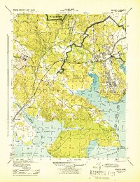 1944 Belvoir1944 Print · USGSFairfax County is shown at a pivotal moment in the 1940s, balancing its historic riverfront estates with wartime military expansion. Genealogists can trace old family sites and stations near Woodbridge, Colchester, and the landmark Gunston Hall.
 - 1944 Map of Fairfax
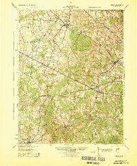 1944 Fairfax1944 Print · USGSNorthern Virginia at the height of the Second World War remains a landscape of rail-connected villages and rural schools. Genealogists and historians can trace family locations through landmarks like Oak Grove Store, Bear School, and the historic Washington and Old Dominion RR.
 - 1944 Map of Occoquan
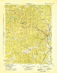 1944 Occoquan1944 Print · USGSNorthern Virginia at the peak of the war years shows a landscape of rural crossroads and riverfront settlements. Genealogists and historians can locate family-named landmarks like Davis Store, local schools such as Agnesville Sch, and the rail infrastructure of Featherstone Sta.
 - 1944 Map of Indian Head
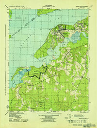 1944 Indian Head1944 Print · USGSMaryland's riverine defense and rural character are on full display during the mid-1940s as the U. S. Naval Proving Ground expands along the Potomac River. You can trace wartime infrastructure and local heritage through landmarks like Grinders Wharf, Mason Springs Sch, and the Govt RR.
 - 1944 Map of Arcola
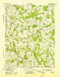 1944 Arcola1944 Print · USGSNorthern Virginia was a landscape of quiet crossroads and rural parishes during the mid-forties. Genealogists and local historians can trace family roots through landmarks like Watson-Sch, Mt Zion Ch, and the small settlement of Arcola.
 - 1944 Map of Mount Vernon
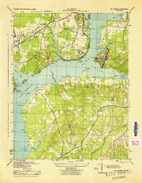 1944 Mount Vernon1944 Print · USGSThe Potomac River shoreline during the Second World War reveals a landscape of coastal fortifications and early aviation. Genealogists and historians can trace old community hubs like Gum Springs, Accokeek, and the historic Marshall Hall estate.
 - 1944 Map of Seneca
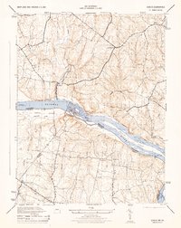 1944 Seneca1944 Print · USGSThe Potomac River valley and the Maryland-Virginia border are captured here during the mid-forties. Local historians can trace the Chesapeake and Ohio Canal and locate old crossroads like Darnestown, Quince Orchard, and Dranesville.2 unique versions available
 - 1944 Map of Rockville, 1955 Print
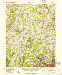 1944 Rockville1955 Print · USGSCentral Montgomery County is captured here in the mid-1940s as rural agriculture begins to meet suburban growth along the Baltimore and Ohio RR. Genealogists can locate family names at Beall Cem or trace rural settlements like Quince Orchard and Sunshine.
 - 1944 Map of Seneca, 1963 Print
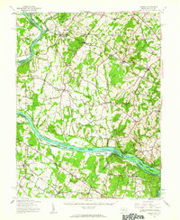 1944 Seneca1963 Print · USGSUpper Montgomery County and the Potomac River valley are captured here just before the expansion of the D.C. suburbs. Researchers can trace the legacy of river commerce and rail travel through the Chesapeake and Ohio Canal, the Monocacy Aqueduct, and the Baltimore and Ohio RR line.
 - 1945 Map of Annandale
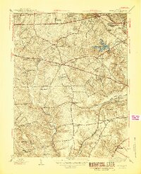 1945 Annandale1945 Print · USGSIn the mid-1940s, Fairfax County was a landscape of historic crossroads and new suburban growth. You can trace the development of Annandale and Baileys Crossroads or locate family landmarks like Sydenstricker Chapel, Franconia Sch, and Edsall.2 unique versions available
 - 1945 Map of Rockville
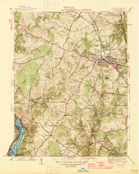 1945 Rockville1945 Print · USGSMontgomery County in the mid-1940s reveals a landscape of growing towns and riverfront heritage. Genealogists and historians can trace the foundations of Rockville, the operations at Congressional Airport, and the quiet reaches of the Chesapeake and Ohio Canal (Abandoned).2 unique versions available
 - 1945 Map of Alexandria
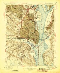 1945 Alexandria1945 Print · USGSAlexandria and Arlington are shown at the height of the Second World War, featuring the newly built Pentagon Building and a heavy military presence. Researchers can trace historic cemeteries, the sprawling Potomac Yard rail hub, and numerous old fortifications like Fort Reynolds and Fort Willard.
 - 1945 Map of Washington West
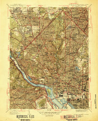 1945 Washington West1945 Print · USGSThe District of Columbia and its surrounding suburbs appear in detail during the mid-forties, capturing the city's growth and its transition to a modern capital. Researchers can trace historic neighborhoods from Tenleytown to Rosslyn and locate landmarks like the Tomb of Unknown Soldier and Rock Creek Cem.
 - 1945 Map of Falls Church
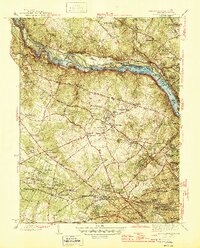 1945 Falls Church1945 Print · USGSFairfax County and the Potomac River corridor are captured during a period of transition in the mid-1940s. Genealogists and local historians can trace the early footprints of Tysons Crossroads, the route of the Washington and Old Dominion Railroad, and landmarks like Fort Marcy.2 unique versions available
 - 1948 Map of Occoquan
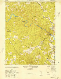 1948 Occoquan1948 Print · USGSNorthern Virginia at the edge of the Potomac was a landscape of crossroads stores and creek-side industry just after the war. Local historians can trace the foundations of Woodbridge and Occoquan alongside landmarks like Ryans Dam and Bethel Sch.
 - 1948 Map of Baltimore
 1948 Baltimore1948 Print · USGSMaryland and Pennsylvania crossroads are captured in the late 1940s, showing a landscape defined by historic rail lines and major military installations. Genealogists can trace family connections in Gettysburg, Westminster, and near the U.S. Naval Academy in Annapolis.2 unique versions available
 - 1948 Map of Washington
 1948 Washington1948 Print · USGSThe Potomac and Chesapeake regions in the late 1940s reveal a landscape of expanding military reach and deep-rooted Tidewater settlements. Trace old rail corridors like the Richmond Fredericksburg & Potomac RR or locate landmarks like the Wakefield Washington Monument and St. Marys College.2 unique versions available
 - 1948 Map of Belvoir
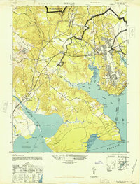 1948 Belvoir1948 Print · USGSFairfax County and the Potomac River shoreline appear in the late 1940s as military expansion meets historic Virginia estates. Trace the footprint of Fort Belvoir and search for family roots near Gunston Hall, Pohick Ch, and the old settlement at Colchester.
End of results
Showing maps 1-21 of 21
Top cities of Fairfax County
- Centreville historical maps
- Reston historical maps
- McLean historical maps
- Oak Hill historical maps
- Burke historical maps
- Annandale historical maps
See more
Frequently asked questions
- What are the different types of historical maps available for Fairfax County?
- What is the oldest map of Fairfax County?
- Where can I purchase historical maps of Fairfax County for my home or office?
- Where can I download high-res historical maps of Fairfax County?
- Are there historical topographic maps available for Fairfax County?
- Is there historical aerial imagery available for Fairfax County?
- Where are historical maps of Fairfax County sourced from?