2020s Maps of Fairfax County, Virginia
Explore 18 historic maps of Fairfax County from the 2020s. These maps offer a rare glimpse into what life looked like during the 2020s — showing old roads, neighborhoods, homes, and landmarks that have changed or disappeared over time.
Whether you're researching your family's past, planning a metal detecting trip, or studying how Fairfax County's landscape evolved across the 2020s, these high-resolution maps are a powerful tool for exploring the history of this region.
- Focus on a specific era: All maps on this page are from the 2020s, giving you a focused view of this time period.
- See what’s changed: Compare century-old streets, trails, and buildings to today's modern landscape using overlays and satellite layers.
- Research with precision: Use these maps for genealogy, historical research, land use analysis, or educational projects.
- View, download, or print: Maps are fully viewable online in high resolution, and can be downloaded or printed for your own records.
Start exploring Fairfax County's history through authentic maps from the 2020s. This is your window into the past.
Fairfax County, VA maps
(18)- 2022 Map of Sterling, 2022 Print
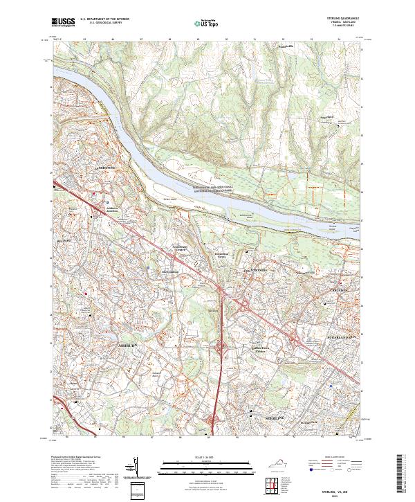 2022 Sterling2022 Print · USGSGreater Sterling and Ashburn are shown in their modern era of expansion, balanced against the preserved corridor of the Potomac River and Chesapeake and Ohio Canal. Researchers can identify several small burial sites like the Belmont Enslaved Cem and the Jenkins Family Cem among the growing suburbs.
 - 2022 Map of Independent Hill, 2022 Print
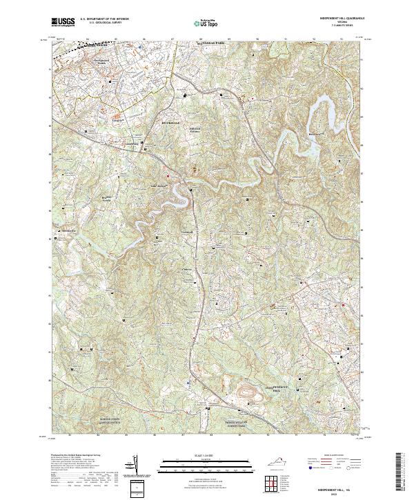 2022 Independent Hill2022 Print · USGSPrince William County in the early twenty-first century reveals a landscape where suburban growth meets deep-seated family history and military reservations. Genealogists can trace family landmarks like the Posey Family Burial Ground, Trone Weedon Cem, and Brentsville Public Cem.
 - 2022 Map of Arcola, 2022 Print
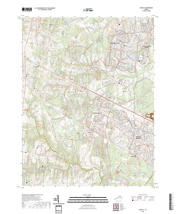 2022 Arcola2022 Print · USGSLoudoun County at the height of its modern expansion reveals a complex layering of new residential hubs and old family homesteads. Genealogists and local researchers can pinpoint numerous burial sites including the Foley Family Cem, Prospect Hill Cem, and Ish Family Cem.
 - 2022 Map of Alexandria, 2022 Print
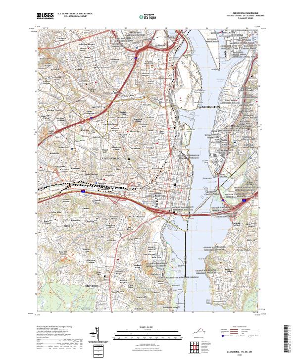 2022 Alexandria2022 Print · USGSThe Potomac River waterfront and Northern Virginia suburbs come alive in this modern survey. Genealogists can locate century-old burial sites such as the Travers Family Graveyard and Christ Church Graveyard near the Pentagon.
 - 2022 Map of Gainesville, 2022 Print
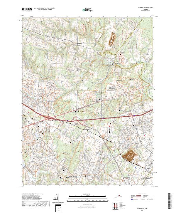 2022 Gainesville2022 Print · USGSGainesville and the surrounding Prince William County countryside are shown here in the early 2020s, balancing Civil War preservation with rapid modern development. Researchers can find dozens of family burial sites like the Haislip Family Cem alongside the preserved terrain of Manassas National Battlefield Park.
 - 2022 Map of Manassas, 2022 Print
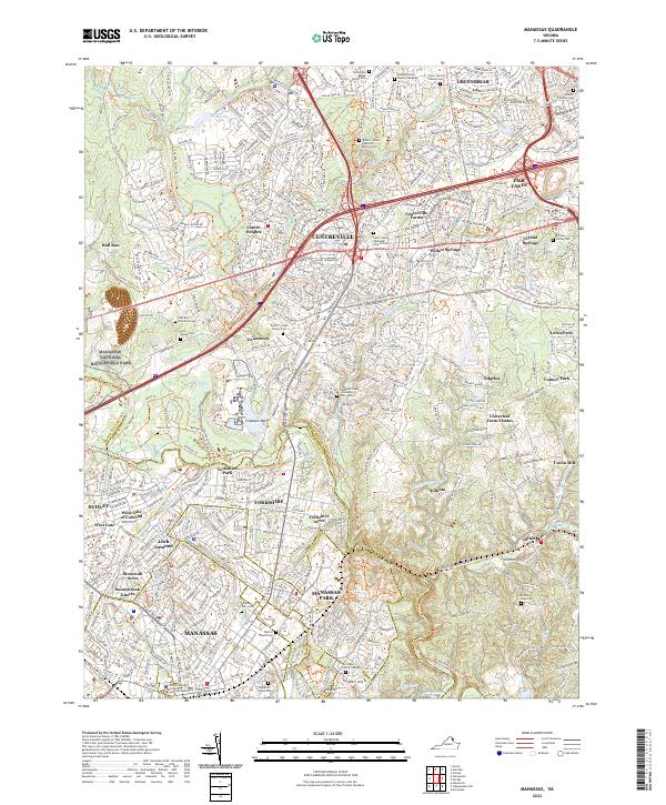 2022 Manassas2022 Print · USGSFairfax and Prince William counties showcase a landscape of rapid growth surrounding preserved historical grounds in the early twenty-first century. Genealogists can trace family footprints through the Arlington Family Cem and Clifton Town Cem near Manassas Park.
 - 2022 Map of Fairfax, 2022 Print
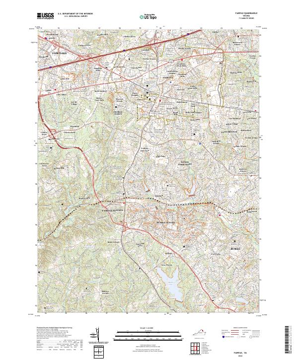 2022 Fairfax2022 Print · USGSFairfax and the surrounding suburban reaches of Northern Virginia are shown here in detail during the early 2020s. Researchers can locate numerous family burial grounds and historical sites, from the Fairfax County Courthouse to the Jerusalem Baptist Church Cem and Burke Lake.
 - 2022 Map of Annandale, 2022 Print
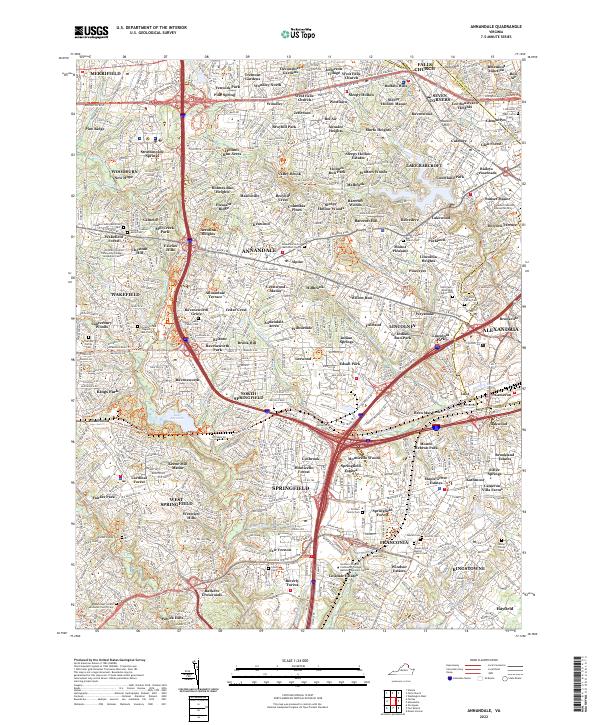 2022 Annandale2022 Print · USGSAnnandale and Springfield are shown here in the 2020s, showing a densely populated Northern Virginia landscape woven with modern trails and transit. Genealogists can trace several preserved family burial sites, including the Barker Family Cem and the Broders Family Cem.
 - 2022 Map of Fort Belvoir, 2022 Print
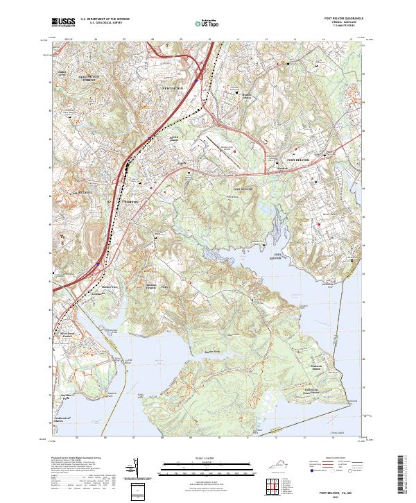 2022 Fort Belvoir2022 Print · USGSFort Belvoir and the surrounding tidal reaches of the Potomac are shown here in the early twenty-first century as the region balanced military growth with historic preservation. Trace family lineage through numerous small burial sites like the Fairfax Grave or Millan Potter Family Cem while exploring the developed shorelines of Pohick Bay.
 - 2022 Map of Mount Vernon, 2022 Print
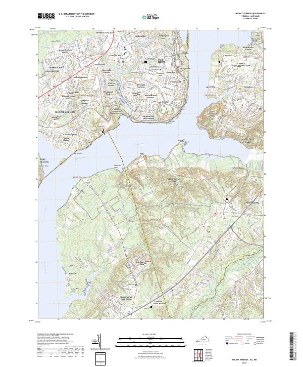 2022 Mount Vernon2022 Print · USGSThe Potomac River shoreline near Mount Vernon is documented here in its modern context, bridging the gap between colonial history and suburban development. Genealogists and historians can trace family sites like Lyles Family Cem, Marshall Cem, and the historic Gum Springs settlement.
 - 2022 Map of Occoquan, 2022 Print
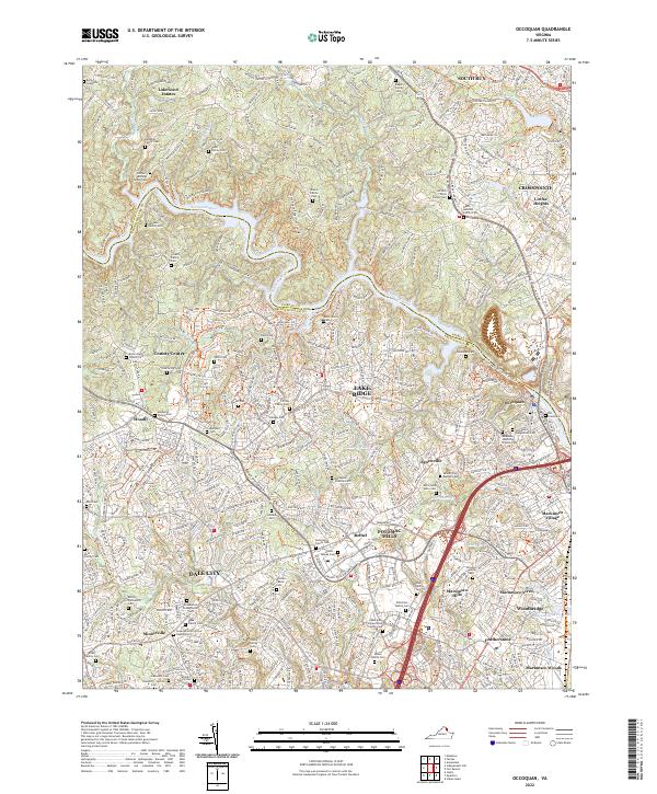 2022 Occoquan2022 Print · USGSThe Occoquan riverfront and Prince William County hills are shown here in the early twenty-first century, balancing suburban growth with deep roots. Genealogists can trace dozens of family sites, from the Grayson Family Vault to the Old Graveyard.
 - 2022 Map of Falls Church, 2022 Print
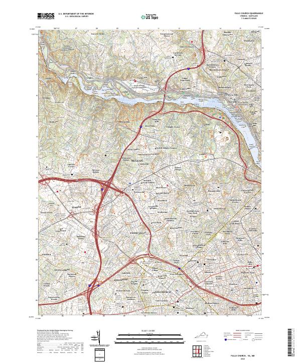 2022 Falls Church2022 Print · USGSThis late-period survey of the Northern Virginia and Maryland borderlands captures the dense development surrounding Falls Church and McLean. Genealogists can trace numerous family burial sites, including the Phillips Family Graveyard and Jackson Family Cem.
 - 2022 Map of Herndon, 2022 Print
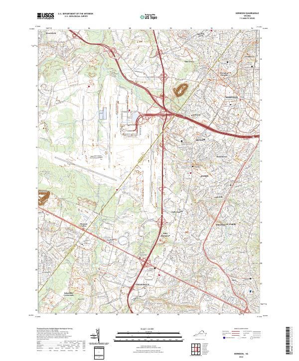 2022 Herndon2022 Print · USGSFairfax and Loudoun Counties are shown at their modern peak of development and preservation in the early 2020s. Genealogists and local historians can trace small family burial sites like Coleman Cem tucked between the runways of Washington Dulles International Airport and the historic Sully Plantation.
 - 2023 Map of Seneca, 2023 Print
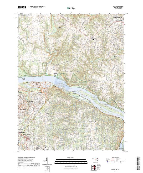 2023 Seneca2023 Print · USGSThe Potomac River borderlands between Maryland and Virginia are shown here during a period of modern suburban growth and historical preservation. Genealogists can trace family landmarks like the Bicksler Family Cem and Walker Family Cem alongside the Chesapeake and Ohio Canal.
 - 2023 Map of Rockville, 2023 Print
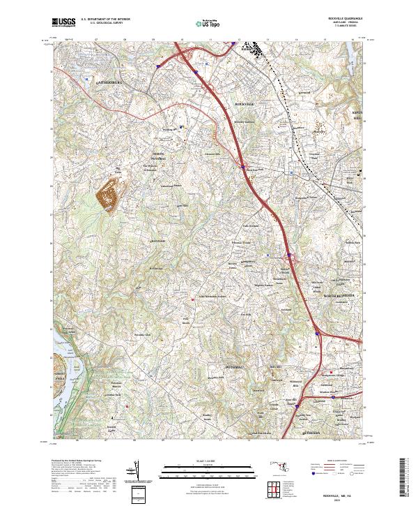 2023 Rockville2023 Print · USGSThe suburban landscape between Rockville and Gaithersburg is captured here in detail. Researchers can trace the Chesapeake and Ohio Canal or locate local landmarks like Saint Gabriel Cem and Rockland.
 - 2023 Map of Indian Head, 2023 Print
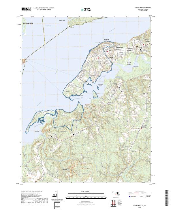 2023 Indian Head2023 Print · USGSThe Potomac River shoreline in Charles County was recently documented to show the modern growth of Indian Head and its neighboring villages. Researchers can locate numerous local burial sites including Alexandria Cem and Chicamuxen Cem, alongside the residential networks of Potomac Heights and Glymont.
 - 2023 Map of Washington West, 2023 Print
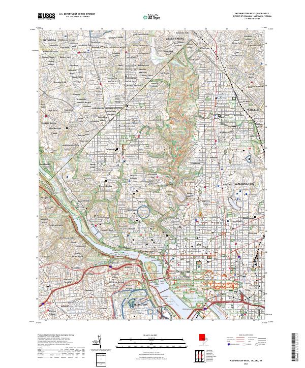 2023 Washington West2023 Print · USGSThe District of Columbia and its Maryland suburbs are shown here in the early twenty-first century, spanning the dense urban core to the edge of Bethesda. Researchers can trace the grounds of Arlington Natl Cem, find sites like Ford's Theatre, and locate historic burial societies at Mount Zion Cem.
 - 2023 Map of Vienna, 2023 Print
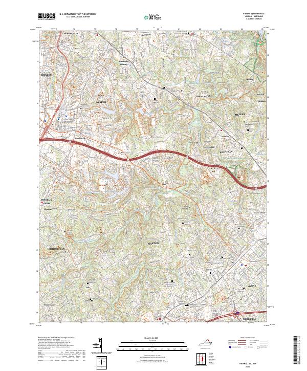 2023 Vienna2023 Print · USGSFairfax County's contemporary suburban landscape and historic family plots are captured here in the early 2020s. Genealogists can locate small family markers like the Iden Family Cem and Thompson Kidwell Family Cem among the reaches of Difficult Run.
End of results
Showing maps 1-18 of 18
Top cities of Fairfax County
- Centreville historical maps
- Reston historical maps
- McLean historical maps
- Oak Hill historical maps
- Burke historical maps
- Annandale historical maps
See more
Frequently asked questions
- What are the different types of historical maps available for Fairfax County?
- What is the oldest map of Fairfax County?
- Where can I purchase historical maps of Fairfax County for my home or office?
- Where can I download high-res historical maps of Fairfax County?
- Are there historical topographic maps available for Fairfax County?
- Is there historical aerial imagery available for Fairfax County?
- Where are historical maps of Fairfax County sourced from?