Old Maps of Lorton, Virginia
Explore 32 old maps of Lorton, spanning from 1890 to today. These high-resolution historic maps reveal how streets, neighborhoods, landmarks, and natural features evolved over time — perfect for genealogy, metal detecting, research, and local history exploration.
What you can do with these maps:
- See how Lorton changed over time: Compare historical maps to modern-day views to trace roads, homesites, rail lines & more.
- View detailed metadata: Each map includes creators, publishers, year, scale, and archive source.
- Overlay maps with satellite & LiDAR: Visualize the past alongside modern tools to explore terrain & human change.
- Trusted historical sources: Maps sourced from the USGS, Library of Congress, and other archives.
- Access maps your way: View online, download high-res files, or order prints for personal or research use.
Start exploring old maps of Lorton to uncover forgotten places, hidden landmarks, and the deep history beneath your feet.
Lorton, VA maps
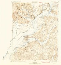
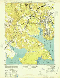
(32)- 1890 Map of Mt. Vernon
 1890 Mt. Vernon1890 Print · USGSCovers Lorton, including Washington, Arlington, and other nearby areas
 - 1891 Map of Mt. Vernon
 1891 Mt. Vernon1891 Print · USGSCovers Lorton, including Washington, Arlington, and other nearby areas
 - 1894 Map of Mt. Vernon, 1904 Print
 1894 Mt. Vernon1904 Print · USGSCovers Lorton, including Washington, Arlington, and other nearby areas6 unique versions available
 - 1897 Map of Mt. Vernon
 1897 Mt. Vernon1897 Print · USGSCovers Lorton, including Washington, Arlington, and other nearby areas2 unique versions available
 - 1913 Map of Indian Head
 1913 Indian Head1913 Print · USGSCovers Lorton, including Woodlawn, Fort Hunt, and other nearby areas2 unique versions available
 - 1923 Map of Indian Head
 1923 Indian Head1923 Print · USGSCovers Lorton, including Woodlawn, Fort Hunt, and other nearby areas2 unique versions available
 - 1925 Map of Indian Head
 1925 Indian Head1925 Print · USGSCovers Lorton, including Woodlawn, Fort Hunt, and other nearby areas6 unique versions available
 - 1927 Map of Quantico
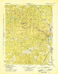
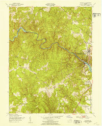
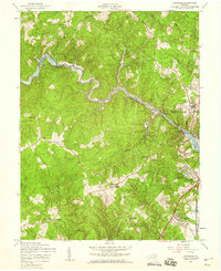
 1927 Quantico1927 Print · USGSCovers Lorton, including Dale City, Lake Ridge, and other nearby areas
 - 1940 Map of Quantico
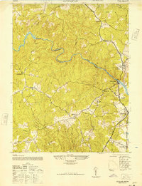
 1940 Quantico1940 Print · USGSCovers Lorton, including Dale City, Lake Ridge, and other nearby areas2 unique versions available
 - 1943 Map of Quantico
 1943 Quantico1943 Print · USGSCovers Lorton, including Dale City, Lake Ridge, and other nearby areas
 - 1944 Map of Belvoir
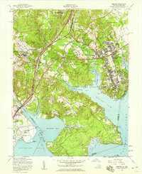
 1944 Belvoir1944 Print · USGSCovers Lorton, including Newington, Newington Forest, and other nearby areas
 - 1944 Map of Occoquan
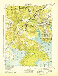
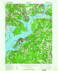
 1944 Occoquan1944 Print · USGSCovers Lorton, including Dale City, Lake Ridge, and other nearby areas
 - 1944 Map of Quantico
 1944 Quantico1944 Print · USGSCovers Lorton, including Dale City, Lake Ridge, and other nearby areas
 - 1948 Map of Occoquan
 1948 Occoquan1948 Print · USGSCovers Lorton, including Dale City, Lake Ridge, and other nearby areas
 - 1948 Map of Washington
 1948 Washington1948 Print · USGSCovers Lorton, including Washington, Arlington, and other nearby areas2 unique versions available
 - 1948 Map of Belvoir
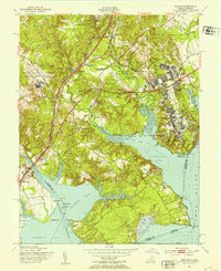
 1948 Belvoir1948 Print · USGSCovers Lorton, including Newington, Newington Forest, and other nearby areas
 - 1951 Map of Belvoir, 1953 Print
 1951 Belvoir1953 Print · USGSCovers Lorton, including Newington, Newington Forest, and other nearby areas2 unique versions available
 - 1951 Map of Occoquan, 1953 Print
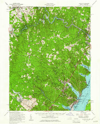
 1951 Occoquan1953 Print · USGSCovers Lorton, including Dale City, Lake Ridge, and other nearby areas
 - 1956 Map of Belvoir, 1959 Print
 1956 Belvoir1959 Print · USGSCovers Lorton, including Newington, Newington Forest, and other nearby areas
 - 1956 Map of Occoquan, 1959 Print
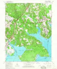
 1956 Occoquan1959 Print · USGSCovers Lorton, including Dale City, Lake Ridge, and other nearby areas4 unique versions available
 - 1956 Map of Indian Head, 1961 Print
 1956 Indian Head1961 Print · USGSCovers Lorton, including Woodlawn, Fort Hunt, and other nearby areas2 unique versions available
 - 1957 Map of Quantico, 1961 Print
 1957 Quantico1961 Print · USGSCovers Lorton, including Dale City, Lake Ridge, and other nearby areas2 unique versions available
 - 1957 Map of Washington, 1966 Print
 1957 Washington1966 Print · USGSCovers Lorton, including Washington, Arlington, and other nearby areas5 unique versions available
 - 1961 Map of Washington
 1961 Washington1961 Print · USGSCovers Lorton, including Washington, Arlington, and other nearby areas2 unique versions available
 - 1965 Map of Belvoir, 1967 Print
 1965 Belvoir1967 Print · USGSCovers Lorton, including Newington, Newington Forest, and other nearby areas4 unique versions available
Showing maps 1-25 of 32
Top cities near Lorton
- Washington historical maps
- Arlington historical maps
- Alexandria historical maps
- Dale City historical maps
- Centreville historical maps
- Lake Ridge historical maps
See more
Top neighborhoods of Lorton
- Laurel Hill historical maps
- Laurel Crest historical maps
- Lorfax Heights historical maps
- Spring Hill historical maps
- Liberty historical maps
Frequently asked questions
- What are the different types of historical maps available for Lorton?
- What is the oldest map of Lorton?
- Where can I purchase historical maps of Lorton for my home or office?
- Where can I download high-res historical maps of Lorton?
- Are there historical topographic maps available for Lorton?
- Is there historical aerial imagery available for Lorton?
- Where are historical maps of Lorton sourced from?