Old Maps of Pizarro, Virginia for Hiking & Exploration
Hike through history with 11 historic maps of Pizarro. Explore old trails, ghost towns, and forgotten backroads — perfect for outdoor adventurers and local explorers.
- Rediscover forgotten places: Map out old mining camps, roads, and footpaths that no longer exist on modern maps.
- Layer with modern tools: Combine with LiDAR or satellite views to plan hikes through historical terrain.
- Made for exploration: Popular among hikers, overlanders, and local history lovers.
Use these maps to find adventure and explore the hidden past of Pizarro.
Pizarro, VA maps
(11)- 1953 Map of Winston-Salem, 1974 Print
 1953 Winston-Salem1974 Print · USGSThe North Carolina Piedmont and Virginia highlands meet in the mid-1950s, a landscape defined by the tobacco and textile hubs of the Blue Ridge foothills. Researchers can trace the rail-and-river geography connecting Winston-Salem to mountain towns like Mount Airy and Galax.2 unique versions available
 - 1955 Map of Winston-Salem
 1955 Winston-Salem1955 Print · USGSThe Central Blue Ridge and Piedmont transition are captured here in the mid-fifties, from the industrial hub of Winston-Salem to the high peaks of Southwest Virginia. Genealogists can trace family landmarks like Richmond Hill Ch, Siloam Ch, and the old rail stops along the Southern Railway.
 - 1957 Map of Endicott, 1959 Print
 1957 Endicott1959 Print · USGSFranklin and Patrick counties are captured in the late fifties as the new waters of Philpott Reservoir settle into the landscape. Trace generational landmarks like Ferrum Jr College, the County Farm, and Woods Store across the Blue Ridge foothills.2 unique versions available
 - 1962 Map of Winston-Salem
 1962 Winston-Salem1962 Print · USGSThe North Carolina Piedmont meets the Virginia highlands in the early sixties, showing the rail corridors and mountain gaps of the southern Appalachians. Researchers can trace the Blue Ridge Parkway or locate family sites near Winston-Salem, Mount Airy, and Hanging Rock Mountain.
 - 1967 Map of Endicott, 1969 Print
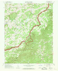 1967 Endicott1969 Print · USGSThe Virginia highlands near the Floyd and Franklin county line are captured here in the late sixties, dominated by the winding Blue Ridge Parkway. Genealogists can trace rural family life through landmarks like Kings Store, County Line Ch, and Endicott.
 - 1986 Map of Galax
 1986 Galax1986 Print · USGSThe Virginia and North Carolina borderlands are captured here in the mid-1980s as the region balanced mountain agriculture with new recreational tourism. Researchers can locate remote family landmarks and rural institutions, from Ferrum Jr College and Siloam Ch to the Pinnacles Powerplant and Archies Mill.2 unique versions available
 - 2010 Map of Endicott, 2010 Print
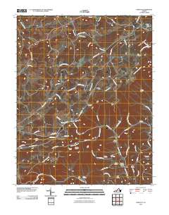 2010 Endicott2010 Print · USGSHighland communities in Floyd and Franklin counties are captured here just after the first decade of the new millennium. Researchers can trace family history through numerous remote burial sites like Endicott Community Cemetery and landmarks such as Smart Gap.
 - 2013 Map of Endicott, 2013 Print
 2013 Endicott2013 Print · USGSSmart and Endicott sit within the steep hollows of the Blue Ridge during the early twenty-first century. Genealogists and hikers can trace local landmarks like Smart View Overlook, Kelley School Rd SE, and the high pass at Cannaday Gap.
 - 2016 Map of Endicott, 2016 Print
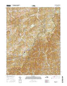 2016 Endicott2016 Print · USGSThe Blue Ridge borderlands of Floyd and Franklin counties are shown here in the mid-2010s as the Blue Ridge Parkway snakes through the high country. Genealogists can trace family heritage through numerous burial sites like Huff Cem and Midkiff Cem near settlements like Endicott and Pizarro.
 - 2019 Map of Endicott, 2019 Print
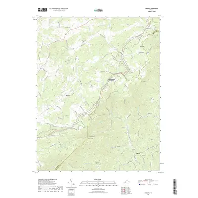 2019 Endicott2019 Print · USGSHigh in the Blue Ridge Mountains during the late twenty-teens, this map traces the winding border between Floyd and Franklin counties. Genealogists can locate numerous family burial sites such as Shively Cem and Nolen Cem near the settlement of Endicott.
 - 2022 Map of Endicott, 2022 Print
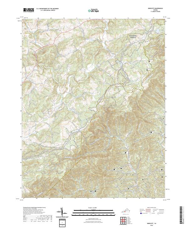 2022 Endicott2022 Print · USGSThe Blue Ridge highlands at the Floyd and Franklin county line are shown here in modern detail. Genealogists can locate numerous family landmarks like the Ingram Family Cemetery, John A Nolen Cemetery, and the settlement of Endicott.
End of results
Showing maps 1-11 of 11
Top cities near Pizarro
Frequently asked questions
- What are the different types of historical maps available for Pizarro?
- What is the oldest map of Pizarro?
- Where can I purchase historical maps of Pizarro for my home or office?
- Where can I download high-res historical maps of Pizarro?
- Are there historical topographic maps available for Pizarro?
- Is there historical aerial imagery available for Pizarro?
- Where are historical maps of Pizarro sourced from?