Old Maps of Waybay, Virginia for Metal Detecting
Plan your next treasure hunt with 12 historic maps of Waybay. Find old homesites, ghost towns, trails, and gathering spots that may be lost to time — perfect for identifying promising metal detecting locations.
- Locate forgotten sites: Uncover places like long-lost settlements, abandoned rail lines, or gathering spots.
- Plan better hunts: Use map overlays combined with LiDAR or satellite views to narrow in on historically rich areas.
- Made for detectorists: Thousands of hobbyists use these maps to discover relics, coins, and hidden history.
Use these historic maps to boost your research and find new opportunities beneath the surface of Waybay.
Waybay, VA maps
(12)- 1919 Map of Mc Kenney
 1919 Mc Kenney1919 Print · USGSSouthside Virginia at the close of the Great War was a region defined by its river crossings and small-town commerce. Genealogists can trace family roots through numerous local landmarks like Smoky Ordinary, Big Bethel Church, and the Drumgoole School.
 - 1921 Map of Mc Kenney
 1921 Mc Kenney1921 Print · USGSSouthern Virginia at the turn of the decade reveals a landscape of tobacco-country schools, churches, and river crossings. Trace the old rail lines of the Virginian and find local landmarks like Smoky Ordinary, Barnes and Parsons Store, and Laxottes Ford.2 unique versions available
 - 1943 Map of Mc Kenney
 1943 Mc Kenney1943 Print · USGSSouthside Virginia's rural landscape is captured here during the mid-forties, showing the vital rail-and-river network of Dinwiddie and Brunswick counties. Genealogists can trace family footprints at dozens of sites like Big Bethel Church, Drumgoole School, and the Barnes and Parsons Store.
 - 1953 Map of Norfolk, 1954 Print
 1953 Norfolk1954 Print · USGSCoastal Virginia and northeastern North Carolina appear here during the post-war industrial boom, showing the critical rail-and-sea connections of Hampton Roads. Genealogists can trace family roots through rural landmarks like Gethsemane Ch, the Caledonia State Prison Farm, and the vast interior of the Dismal Swamp.4 unique versions available
 - 1963 Map of Purdy, 1964 Print
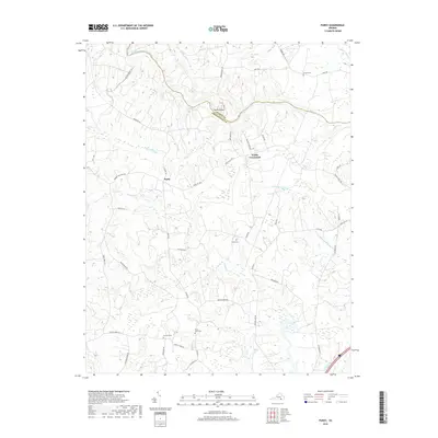
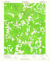 1963 Purdy1964 Print · USGSGreensville and Sussex counties are captured here in the early sixties, showing a landscape of river-bottom swamps and rural railroad hamlets. Genealogists can trace family landmarks like Cowie Cem, Coyie Corner, and several country churches including St Johns Ch.3 unique versions available
 - 1984 Map of Emporia, 1986 Print
 1984 Emporia1986 Print · USGSSouthside Virginia and the North Carolina borderlands are captured here in the mid-1980s, centered on the transit hub of Emporia. Researchers can trace old rail corridors like the Seaboard System or locate historic sites including Fort Christanna and White Oak Ch.
 - 1990 Map of Emporia
 1990 Emporia1990 Print · USGSThe Southside Virginia borderlands are captured here in the late twentieth century, showing the critical rail and river networks of the region. Genealogists and local historians can trace family roots through rural communities like Alberta, Boykins, and Dolphin along the Meherrin River.
 - 2010 Map of Purdy, 2010 Print
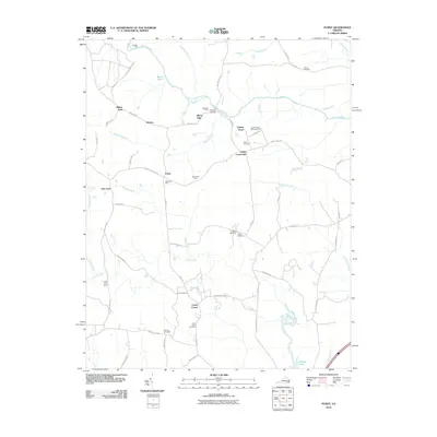 2010 Purdy2010 Print · USGSCovers Waybay, including Fields Crossroads, Oak Lawn, and other nearby areas
 - 2013 Map of Purdy, 2013 Print
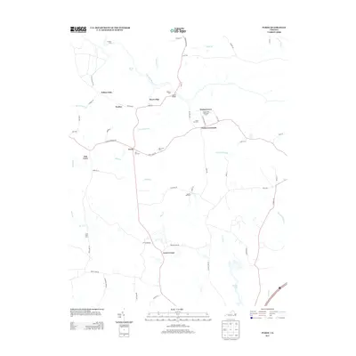 2013 Purdy2013 Print · USGSCovers Waybay, including Fields Crossroads, Oak Lawn, and other nearby areas
 - 2016 Map of Purdy, 2016 Print
 2016 Purdy2016 Print · USGSCovers Waybay, including Fields Crossroads, Oak Lawn, and other nearby areas
 - 2019 Map of Purdy, 2019 Print
 2019 Purdy2019 Print · USGSCovers Waybay, including Fields Crossroads, Oak Lawn, and other nearby areas
 - 2022 Map of Purdy, 2022 Print
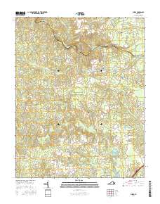
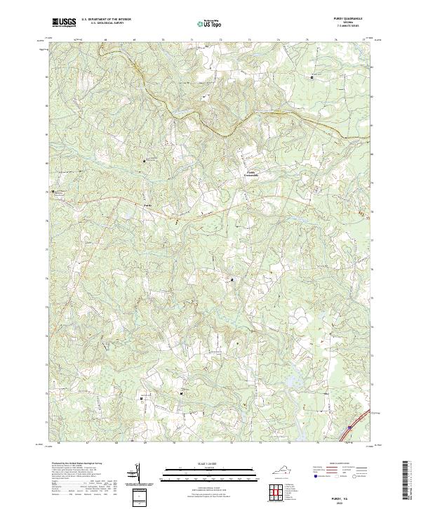 2022 Purdy2022 Print · USGSGreensville County's rural heartland is documented here in the early 2020s, centered on the historic crossroads at Purdy. Researchers can locate numerous family burial sites like Saint Johns Cem and Harrison Cem while tracing the winding course of the Nottoway River.
End of results
Showing maps 1-12 of 12
Top cities near Waybay
Frequently asked questions
- What are the different types of historical maps available for Waybay?
- What is the oldest map of Waybay?
- Where can I purchase historical maps of Waybay for my home or office?
- Where can I download high-res historical maps of Waybay?
- Are there historical topographic maps available for Waybay?
- Is there historical aerial imagery available for Waybay?
- Where are historical maps of Waybay sourced from?