Old Maps of McKenney, Virginia
Explore 12 old maps of McKenney, spanning from 1919 to today. These high-resolution historic maps reveal how streets, neighborhoods, landmarks, and natural features evolved over time — perfect for genealogy, metal detecting, research, and local history exploration.
What you can do with these maps:
- See how McKenney changed over time: Compare historical maps to modern-day views to trace roads, homesites, rail lines & more.
- View detailed metadata: Each map includes creators, publishers, year, scale, and archive source.
- Overlay maps with satellite & LiDAR: Visualize the past alongside modern tools to explore terrain & human change.
- Trusted historical sources: Maps sourced from the USGS, Library of Congress, and other archives.
- Access maps your way: View online, download high-res files, or order prints for personal or research use.
Start exploring old maps of McKenney to uncover forgotten places, hidden landmarks, and the deep history beneath your feet.
McKenney, VA maps
(12)- 1919 Map of Mc Kenney
 1919 Mc Kenney1919 Print · USGSSouthside Virginia at the close of the Great War was a region defined by its river crossings and small-town commerce. Genealogists can trace family roots through numerous local landmarks like Smoky Ordinary, Big Bethel Church, and the Drumgoole School.
 - 1921 Map of Mc Kenney
 1921 Mc Kenney1921 Print · USGSSouthern Virginia at the turn of the decade reveals a landscape of tobacco-country schools, churches, and river crossings. Trace the old rail lines of the Virginian and find local landmarks like Smoky Ordinary, Barnes and Parsons Store, and Laxottes Ford.2 unique versions available
 - 1943 Map of Mc Kenney
 1943 Mc Kenney1943 Print · USGSSouthside Virginia's rural landscape is captured here during the mid-forties, showing the vital rail-and-river network of Dinwiddie and Brunswick counties. Genealogists can trace family footprints at dozens of sites like Big Bethel Church, Drumgoole School, and the Barnes and Parsons Store.
 - 1953 Map of Norfolk, 1954 Print
 1953 Norfolk1954 Print · USGSCoastal Virginia and northeastern North Carolina appear here during the post-war industrial boom, showing the critical rail-and-sea connections of Hampton Roads. Genealogists can trace family roots through rural landmarks like Gethsemane Ch, the Caledonia State Prison Farm, and the vast interior of the Dismal Swamp.4 unique versions available
 - 1963 Map of Mc Kenney, 1964 Print
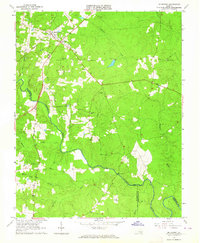 1963 Mc Kenney1964 Print · USGSDinwiddie County's rural landscape is centered on the railroad town of McKenney in the early 1960s, a time when family-named cemeteries and country churches defined the community. Local history researchers can trace family roots at Asbury Cem, Abernathy Cem, or near the Nottoway River and Cutbank Bridge.2 unique versions available
 - 1984 Map of Emporia, 1986 Print
 1984 Emporia1986 Print · USGSSouthside Virginia and the North Carolina borderlands are captured here in the mid-1980s, centered on the transit hub of Emporia. Researchers can trace old rail corridors like the Seaboard System or locate historic sites including Fort Christanna and White Oak Ch.
 - 1990 Map of Emporia
 1990 Emporia1990 Print · USGSThe Southside Virginia borderlands are captured here in the late twentieth century, showing the critical rail and river networks of the region. Genealogists and local historians can trace family roots through rural communities like Alberta, Boykins, and Dolphin along the Meherrin River.
 - 2010 Map of McKenney, 2010 Print
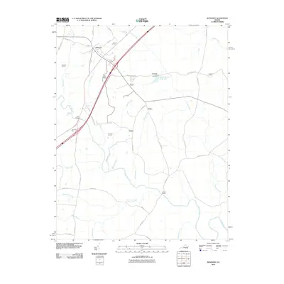 2010 McKenney2010 Print · USGSThe rural landscape of Dinwiddie County comes into focus at the start of the 21st century, centered on the settlement of McKenney. Genealogists and local historians can trace family ties through numerous burial sites like Big Bethel Cemetery, Sapony Cemetery, and Madison Cemetery.
 - 2013 Map of McKenney, 2013 Print
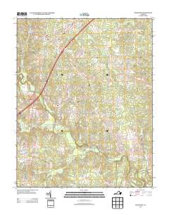 2013 McKenney2013 Print · USGSThe town of McKenney and its surrounding Dinwiddie County countryside are documented here in the early twenty-first century. Researchers can trace historical routes like Old Stage Rd or locate rural points of interest such as Cutbank Bridge and Mckenney Hunt Club Lake.
 - 2016 Map of McKenney, 2016 Print
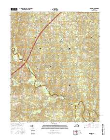 2016 McKenney2016 Print · USGSDinwiddie County life in the early twenty-first century is centered on the crossroads of McKenney and its surrounding rural timberlands. Genealogists can trace local heritage through numerous family burial sites such as Abernathy Cem, Madison Cem, and Fitzgerald Cem.
 - 2019 Map of McKenney, 2019 Print
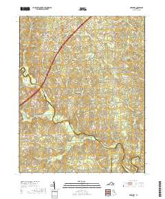 2019 McKenney2019 Print · USGSThe rural landscape of Southside Virginia is meticulously documented in this contemporary survey of the area around McKenney. Researchers can locate numerous family burial sites and historical crossings, including the Abernathy Cem, Long Bridge, and the Big Bethel Baptist Cem.
 - 2022 Map of McKenney, 2022 Print
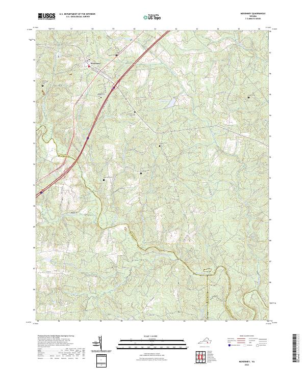 2022 McKenney2022 Print · USGSThe rural crossroads of McKenney and the surrounding farm country are shown in detail here just after the turn of the decade. Family historians can locate numerous small burial sites like Abernathy Cem and Fitzgerald Cem near the banks of the Nottoway River.
End of results
Showing maps 1-12 of 12
Top cities near McKenney
Frequently asked questions
- What are the different types of historical maps available for McKenney?
- What is the oldest map of McKenney?
- Where can I purchase historical maps of McKenney for my home or office?
- Where can I download high-res historical maps of McKenney?
- Are there historical topographic maps available for McKenney?
- Is there historical aerial imagery available for McKenney?
- Where are historical maps of McKenney sourced from?