Old Maps of Fordland Estates, Virginia for Genealogy
Trace your family roots with 13 historic maps of Fordland Estates. These high-res maps reveal old neighborhoods, homesites, landmarks, and streets — helping you uncover where your ancestors lived and how the area evolved over time.
- Explore historic neighborhoods: Identify where your relatives may have lived in the 1800s or 1900s.
- Compare maps over time: Trace the changes in streets, buildings, and landmarks for multi-generational research.
- Perfect for genealogy & ancestry research: Used by family historians and researchers to map out lineage and migration.
These maps are an incredible resource for exploring your personal connection to Fordland Estates's past.
Fordland Estates, VA maps
(13)- 1953 Map of South Boston, 1955 Print
 1953 South Boston1955 Print · USGSThe Virginia Southside in the early fifties shows a bustling rail-and-river economy centered on the tobacco and textile hub of South Boston. Genealogists and historians can trace family locations through numerous rural landmarks like Berry Hill, the Wall Mine, and Orange Grove Sch.2 unique versions available
 - 1953 Map of Greensboro, 1981 Print
 1953 Greensboro1981 Print · USGSThe Piedmont borderlands of North Carolina and Virginia show a landscape defined by new reservoirs and old rail lines. Trace family roots and the changing river geography through Elon College, the John H Kerr Reservoir, and South Boston.
 - 1954 Map of Greensboro
 1954 Greensboro1954 Print · USGSThe Piedmont borderlands of North Carolina and Virginia come alive in this mid-fifties study of a region defined by its rivers and rails. Researchers can trace the growing Buggs Island Lake or follow the paths of the Southern Ry and Seaboard Air Line RR through towns like Oxford and Reidsville.
 - 1957 Map of South Boston, 1958 Print
 1957 South Boston1958 Print · USGSSouth Boston and the surrounding borderlands of Virginia and North Carolina are captured here in the mid-fifties, centered on the confluence of the Banister and Dan Rivers. Genealogists and historians can trace numerous rural landmarks, including the Wolf Mine Sch, Five Forks Cem, and the settlement of Virgilina.3 unique versions available
 - 1962 Map of Greensboro
 1962 Greensboro1962 Print · USGSThe Piedmont region along the Virginia and North Carolina border comes alive in the early 1960s, showing a landscape defined by industry and new reservoirs. Trace the path of the Virginian RR or explore the early development of Greensboro and Durham.
 - 1966 Map of Greensboro
 1966 Greensboro1966 Print · USGSThe North Carolina and Virginia Piedmont thrives during the mid-sixties, showcasing a landscape of textile hubs and expanding river reservoirs. Researchers can trace the rail corridors of the Southern Railway, find local landmarks like Elon College, or locate the extensive Camp Butner Military Reservation.
 - 1969 Map of South Boston, 1972 Print
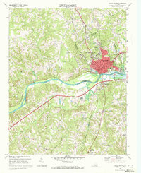 1969 South Boston1972 Print · USGSSouth Boston and the surrounding Halifax County countryside are captured here in the late sixties at the convergence of the Dan River and major rail lines. Researchers can trace the footprints of community life at Oak Ridge Cemetery, Washington Coleman Sch, and the old Drive-in Theater.3 unique versions available
 - 1984 Map of South Boston, 1985 Print
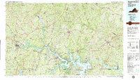 1984 South Boston1985 Print · USGSSouthside Virginia and the northern border of North Carolina are defined by water and rail in the mid-1980s. Genealogists and historians can trace the development of riverside towns like Clarksville or follow the legacy of the Norfolk and Western and Southern railroads through Chase City and Halifax.
 - 2010 Map of South Boston, 2010 Print
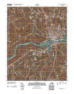 2010 South Boston2010 Print · USGSSouth Boston and the surrounding Halifax County countryside are captured here in 2010 during a period of steady residential and industrial development. Local historians can trace established neighborhoods like Woodlawn Park or locate the South Boston Post Office and Loves Shop.
 - 2013 Map of South Boston, 2013 Print
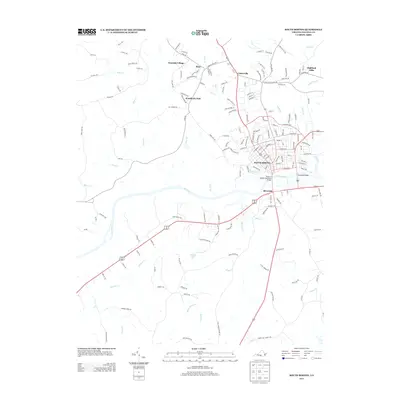 2013 South Boston2013 Print · USGSSouth Boston and its surrounding Halifax County communities are captured here in the early twenty-first century as the region transitioned into a modern regional hub. Researchers can trace the layout of neighborhoods like Sinai and Westside Village or locate river crossings such as Randolph Bridge and the Tucker C Watkins Memorial Bridge.
 - 2016 Map of South Boston, 2016 Print
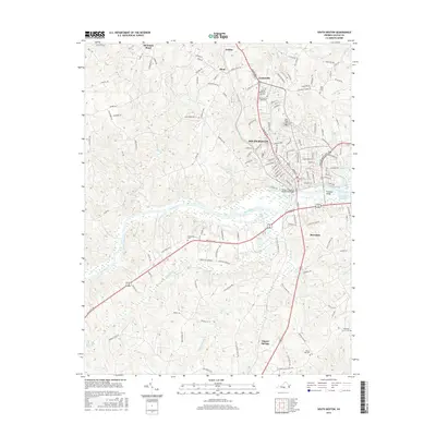 2016 South Boston2016 Print · USGSSouth Boston and the surrounding Halifax County countryside are captured here in the mid-2010s, centered on the Dan River corridor. Researchers can trace local lineages through several established burial grounds, including Oak Ridge Cem, Dan River Cem, and Glenwood Cem.
 - 2019 Map of South Boston, 2019 Print
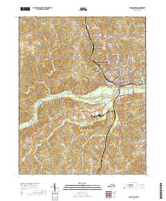 2019 South Boston2019 Print · USGSThe Southside Virginia riverfront and the community of South Boston are captured here in the late 2010s. Local researchers can trace family landmarks across the Dan River, from Oak Ridge Cemetery to historic congregations like Dan River Church.
 - 2022 Map of South Boston, 2022 Print
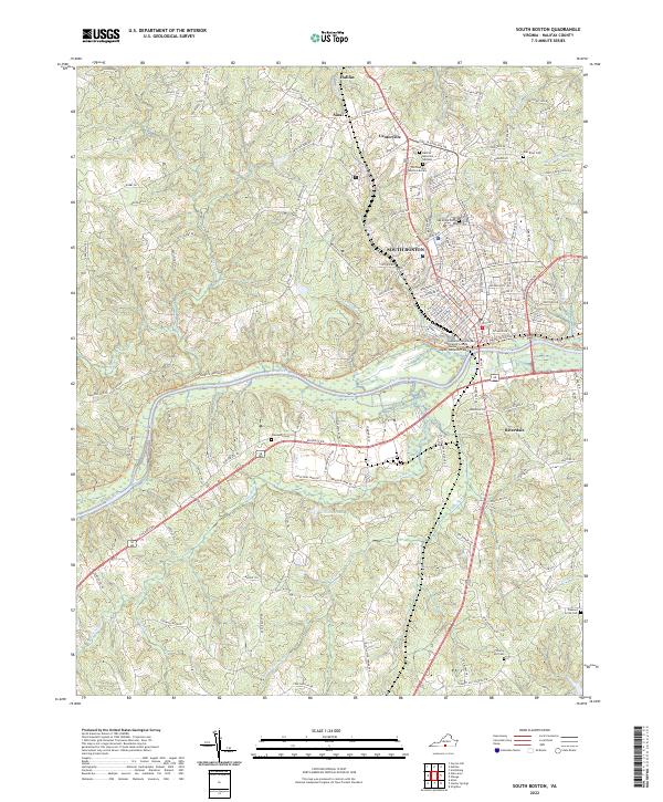 2022 South Boston2022 Print · USGSSouth Boston and the Dan River valley are captured here in the early twenty-first century as the region's tobacco heritage transitions to modern education and commerce. Genealogists can locate several local burial grounds including Oak Ridge Cem, Glenwood Cem, and The Peaceful Tabernacle Cem.
End of results
Showing maps 1-13 of 13
Frequently asked questions
- What are the different types of historical maps available for Fordland Estates?
- What is the oldest map of Fordland Estates?
- Where can I purchase historical maps of Fordland Estates for my home or office?
- Where can I download high-res historical maps of Fordland Estates?
- Are there historical topographic maps available for Fordland Estates?
- Is there historical aerial imagery available for Fordland Estates?
- Where are historical maps of Fordland Estates sourced from?