Old Maps of Kingsbury, Virginia for Academic Research
Study the evolution of Kingsbury with 17 high-resolution historic maps. Whether you're teaching, researching, or modeling changes in land use, these maps provide essential visual documentation of urban, environmental, and geographic change.
- Analyze long-term change: Track patterns in development, transportation, and natural features.
- Ideal for environmental or urban studies: Support academic projects with primary historical map data.
- Use in the classroom or lab: Educators and researchers rely on these maps to bring historical context to life.
These maps are a powerful tool for teaching, research, and visualizing how Kingsbury has changed over the decades.
Kingsbury, VA maps
(17)- 1890 Map of Goochland
 1890 Goochland1890 Print · USGSGoochland and the surrounding Virginia Piedmont are captured here in the late nineteenth century as the river-and-rail economy thrived. Researchers can trace the paths of the Chesapeake and Ohio Railroad and find landmarks like Hopeful Church or the Coal Pits.
 - 1892 Map of Goochland
 1892 Goochland1892 Print · USGSThe rural heart of central Virginia is captured here in the decade before the turn of the century, showing a landscape shaped by major rivers and early rail lines. Genealogists can trace family names and early settlements like Negro Foot, Mabelton, and the historic Hanover Academy.8 unique versions available
 - 1936 Map of Glen Allen
 1936 Glen Allen1936 Print · USGSHenrico and Hanover counties are captured here in the mid-1930s, showing a rural landscape organized around the Chickahominy River. Genealogists and local historians can trace the foundations of Short Pump, find Deep Run Ch, or locate the Richmond Fredericksburg and Potomac Railroad corridor.2 unique versions available
 - 1941 Map of Glen Allen
 1941 Glen Allen1941 Print · USGSNorth of Richmond in the mid-1930s, this area shows a landscape of rural crossroads and established family farms before modern suburbanization. Genealogists and researchers can locate historic landmarks like Ground Squirrel Ch, the Coalpit Sch, and the community of Short Pump.2 unique versions available
 - 1943 Map of Richmond, 1972 Print
 1943 Richmond1972 Print · USGSCoastal Virginia and the state capital are shown in detail during the mid-century era of infrastructure expansion. Genealogists and historians can trace the grounds of Richmond Nat Battlefield Park, locate the Yorktown Nat Cem, or follow the many rural routes through Amelia Court House and Tappahannock.
 - 1949 Map of Richmond, 1951 Print
 1949 Richmond1951 Print · USGSCoastal Virginia in the years following World War II remained a landscape of historic river towns and expanding military bases. Genealogists and historians can trace the rail lines of the Southern Ry and locate established landmarks from Camp Lee to the remote reaches of Dragon Swamp.
 - 1959 Map of Richmond
 1959 Richmond1959 Print · USGSMid-century Virginia is captured here at its most vital rail and river junctions, from the capital city to the Chesapeake Bay. Genealogists and historians can trace the development of colonial settlements like Williamsburg and military landmarks including Fort Monroe and Camp Lee.
 - 1963 Map of Glen Allen, 1965 Print
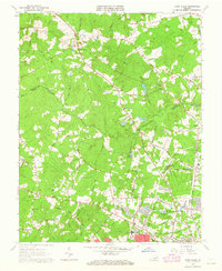 1963 Glen Allen1965 Print · USGSHenrico and Hanover Counties are shown during the early sixties as rural crossroads evolved into growing suburban communities. Genealogists can trace family landmarks like North Gayton Ch, Lanes Corner, and the Roselawn Cem near the Chickahominy River.7 unique versions available
 - 1964 Map of Richmond
 1964 Richmond1964 Print · USGSCoastal and central Virginia are mapped during the mid-twentieth century, showing the critical intersection of rail, river, and military life. Genealogists can trace family roots through rural county seats like Amelia or find vanished coastal neighborhoods near Phoebus and Hilton Village.
 - 1973 Map of Richmond, 1974 Print
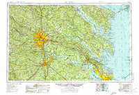 1973 Richmond1974 Print · USGSThe Virginia Tidewater and Piedmont come alive in the early seventies, showcasing a region defined by its great rivers and massive military installations. Researchers can trace the mid-century growth of Richmond or locate family sites near Amelia Court House and Highland Springs.2 unique versions available
 - 1974 Map of Glen Allen, 1977 Print
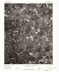 1974 Glen Allen1977 Print · USGSHenrico County undergoes significant suburban transformation in the mid-1970s. Genealogists and local researchers can trace the growth of Glen Allen and the winding course of the Chickahominy River using detailed aerial imagery.
 - 1984 Map of Richmond, 1986 Print
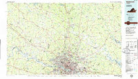 1984 Richmond1986 Print · USGSCentral Virginia during the mid-eighties shows a landscape of rapid suburban expansion centered on the state capital and its historic riverfront. Genealogists and historians can trace institutional sites like Randolph-Macon College, the grounds of Fort Lee, and small community landmarks like Hebron Ch.3 unique versions available
 - 2010 Map of Glen Allen, 2010 Print
 2010 Glen Allen2010 Print · USGSHenrico County was undergoing significant residential growth at the start of the decade, as seen in this 2010 survey of the Richmond suburbs. Genealogists and local historians can locate several family sites including Winns Cemetery and Springfield Cemetery, or trace the development around Short Pump and Glen Allen.
 - 2013 Map of Glen Allen, 2013 Print
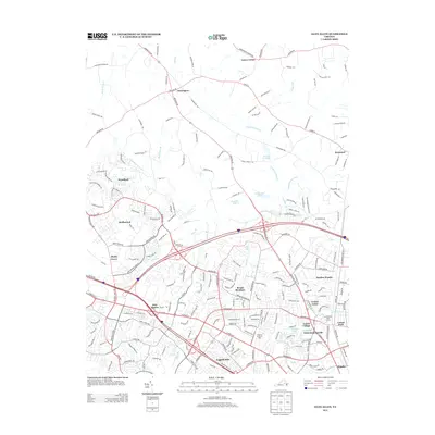 2013 Glen Allen2013 Print · USGSSuburban expansion meets rural Virginia at the turn of the decade, as Henrico and Hanover Counties continued to grow along the Chickahominy River. Researchers can trace the footprint of established institutions like the Virginia Home for Boys and settlements like Erin Shades or Laurel Village.
 - 2016 Map of Glen Allen, 2016 Print
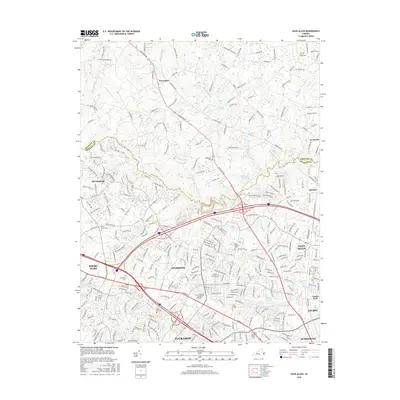 2016 Glen Allen2016 Print · USGSHenrico County's suburban expansion is in full view during the mid-2010s as Richmond's outer reaches grew toward the Hanover line. Genealogists and local historians can trace legacy sites like Springfield Cem and Deep Run Cem amidst the modern footprints of Innsbrook and Short Pump.
 - 2019 Map of Glen Allen, 2019 Print
 2019 Glen Allen2019 Print · USGSThis Henrico County region evolved from a network of rural creek crossings into a major suburban corridor by the early 21st century. Researchers can trace the legacy of local congregations and family landmarks through Roselawn Memory Gardens, Winns Ch, and the Henrico County Courthouse.
 - 2023 Map of Glen Allen, 2023 Print
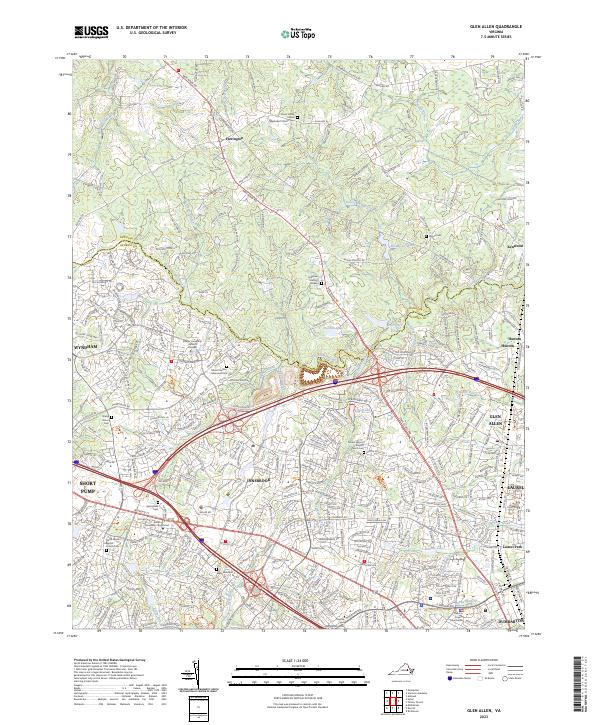 2023 Glen Allen2023 Print · USGSHenrico and Hanover Counties are shown in the 2020s as suburban growth meets the traditional Virginia countryside. Genealogists and local historians can trace several burial grounds and civic landmarks, including Winns Cem, Shady Grove Cem, and the Henrico County Courthouse.
End of results
Showing maps 1-17 of 17
Frequently asked questions
- What are the different types of historical maps available for Kingsbury?
- What is the oldest map of Kingsbury?
- Where can I purchase historical maps of Kingsbury for my home or office?
- Where can I download high-res historical maps of Kingsbury?
- Are there historical topographic maps available for Kingsbury?
- Is there historical aerial imagery available for Kingsbury?
- Where are historical maps of Kingsbury sourced from?