Old Maps of King and Queen County, Virginia for Genealogy
Trace your family roots with 122 historic maps of King and Queen County. These high-res maps reveal old neighborhoods, homesites, landmarks, and streets — helping you uncover where your ancestors lived and how the area evolved over time.
- Explore historic neighborhoods: Identify where your relatives may have lived in the 1800s or 1900s.
- Compare maps over time: Trace the changes in streets, buildings, and landmarks for multi-generational research.
- Perfect for genealogy & ancestry research: Used by family historians and researchers to map out lineage and migration.
These maps are an incredible resource for exploring your personal connection to King and Queen County's past.
King and Queen County, VA maps
(122)- 1906 Map of Williamsburg
 1906 Williamsburg1906 Print · USGSCoastal Virginia at the turn of the century reveals a landscape of river steamboats and early rail lines near the York River. Researchers can trace historic church sites like Abingdon Church, colonial-era Powhatans House Ruins, and the infrastructure of Bigler Mill.6 unique versions available
 - 1917 Map of Urbanna
 1917 Urbanna1917 Print · USGSMiddlesex and Lancaster Counties come alive in this survey of the Virginia Tidewater during the Great War era. Researchers can trace ancestral roots through dozens of local landmarks like Christ Church, Healys Mill, and Royal Oak School.3 unique versions available
 - 1917 Map of Toano, 1959 Print
 1917 Toano1959 Print · USGSCoastal Virginia during the early twentieth century shows a landscape where rail lines and steamboat routes intersect. Genealogists can trace family roots through numerous sites like Hickory Neck Church, One Eye School, and Barrets Ferry.
 - 1918 Map of Toano
 1918 Toano1918 Print · USGSThe Virginia Peninsula comes alive in the years following the Great War, showing a landscape of river landings and rail-side villages. Researchers can trace the path of the Chesapeake and Ohio through Toano or locate early rural schoolhouses like One Eye School and Brickbat School.3 unique versions available
 - 1918 Map of Tappahannock
 1918 Tappahannock1918 Print · USGSThe Tidewater region during the first World War comes alive on this sheet, centered on the historic river crossing at Tappahannock. Researchers can trace the active Steamboat Route, old river landings like Bowlers Wharf, and rural landmarks including St Pauls Church.2 unique versions available
 - 1918 Map of Aylett
 1918 Aylett1918 Print · USGSThe rural landscapes of King and Queen and King William counties are captured here at the end of the Great War. Researchers can trace ancestral connections through old mill sites and churches like Aylett Mill, St Stephens Church, and Shiloh Church.
 - 1919 Map of New Kent
 1919 New Kent1919 Print · USGSThe Virginia tidewater comes to life in the years following the Great War, showing the convergence of the Mattaponi and Pamunkey rivers. Genealogists can trace family roots through the Pamunkey Indian Reservation, West Point, and rural landmarks like Mattaponi Church or Frazier Ferry.3 unique versions available
 - 1919 Map of Tappahannock, 1938 Print
 1919 Tappahannock1938 Print · USGSCoastal life along the Rappahannock River is meticulously charted here in the years following the Great War. Genealogists and historians can trace the foundations of Essex and Richmond counties through landmarks like Millers Tavern, the Rappahannock Industrial Academy, and Mt Airy Millpond.
 - 1920 Map of King William
 1920 King William1920 Print · USGSCoastal Virginia during the late teens and early twenties reveals a landscape of river-bend settlements and tidal swamps. Researchers can trace the Pamunkey Indian Reservation, early river crossings like Piping Tree Ferry, and rail depots at Tunstall.4 unique versions available
 - 1933 Map of Aylett
 1933 Aylett1933 Print · USGSCoastal Plain Virginia during the 1930s shows a landscape of river-based commerce and tight-knit farming communities. Genealogists and historians can trace family locations near Aylett, locate the Millfork School, or find old mills like Dublin Mill.2 unique versions available
 - 1943 Map of Richmond, 1972 Print
 1943 Richmond1972 Print · USGSCoastal Virginia and the state capital are shown in detail during the mid-century era of infrastructure expansion. Genealogists and historians can trace the grounds of Richmond Nat Battlefield Park, locate the Yorktown Nat Cem, or follow the many rural routes through Amelia Court House and Tappahannock.
 - 1944 Map of Dunnsville
 1944 Dunnsville1944 Print · USGSMid-century Essex County was a landscape of river wharves and wetland crossings along the Rappahannock. Genealogists can trace family roots through landmarks like Angel Visit Church, Rappahannock Industrial Academy, and the old Wares Wharf.2 unique versions available
 - 1944 Map of Howertons, 1961 Print
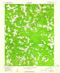 1944 Howertons1961 Print · USGSThe rural Virginia Tidewater comes alive in this mid-1940s record of the King and Queen and Essex county line. Genealogists and historians can locate family landmarks like Millers Tavern, trace the waters of Dragon Swamp, and find local institutions like John Moncure Sch.
 - 1945 Map of Howertons
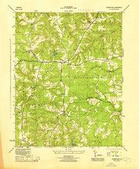 1945 Howertons1945 Print · USGSKing and Queen and Essex counties appear here during the mid-forties, characterized by Tidewater wetlands and small crossroads communities. Researchers can trace rural life through landmarks like the Virginia State Fish Hatchery, Millers Tavern, and the Smyrna Ch and Cem.
 - 1949 Map of Truhart
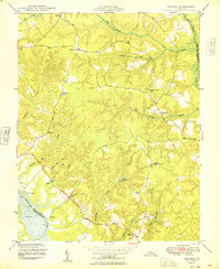 1949 Truhart1949 Print · USGSMid-century King and Queen County is shown here during a time of rural stability along the Mattaponi River. Researchers can trace old family locations and community landmarks from Exol Ch and Zion Sch to the crossroads at Dragonville.
 - 1949 Map of King William
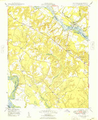 1949 King William1949 Print · USGSThe Virginia Tidewater is captured here in the years following the war, showing a landscape shaped by river landings and rural crossroads. Genealogists can locate family sites near Piping Tree Ferry, the King William Training Sch, or the historic Four Forks Inn.2 unique versions available
 - 1949 Map of Shacklefords
 1949 Shacklefords1949 Print · USGSMid-century King and Queen County comes alive in this survey of the Virginia Middle Peninsula, where the Tidewater Trail connects small rural crossroads. Genealogists can locate family-named settlements like Bakers and community hubs such as Hockley PO and Snow Hill Sch.2 unique versions available
 - 1949 Map of King And Queen
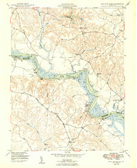 1949 King And Queen1949 Print · USGSThe Mattaponi River shoreline and the colonial-era road network define this Virginia landscape in the late 1940s. Researchers can trace ancestral locations near the Mattaponi Indian Reservation, the Mattaponi Ch, and old river stops like Courthouse Landing.2 unique versions available
 - 1949 Map of Aylett
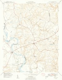 1949 Aylett1949 Print · USGSCoastal Virginia during the late 1940s reveals a quiet riverine landscape where the Mattaponi River dictates the rhythm of local life. Genealogists and historians can locate old riverfront sites like Old Hall Landing, local schools like Green Briar Sch, and the historic Aylett Mill.2 unique versions available
 - 1949 Map of Samos
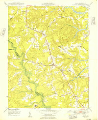 1949 Samos1949 Print · USGSMid-century Middlesex County is documented here at a time when rural life centered on small crossroads and local parishes. Genealogists can trace family connections to numerous historic sites like Glebe Landing Ch, Union Shiloh Sch, and the settlement at Church View.2 unique versions available
 - 1949 Map of Richmond, 1951 Print
 1949 Richmond1951 Print · USGSCoastal Virginia in the years following World War II remained a landscape of historic river towns and expanding military bases. Genealogists and historians can trace the rail lines of the Southern Ry and locate established landmarks from Camp Lee to the remote reaches of Dragon Swamp.
 - 1950 Map of West Point
 1950 West Point1950 Print · USGSCoastal Virginia at the turn of the decade centers on the confluence of the Mattaponi and Pamunkey. Researchers can trace family sites at Chelsea, locate historic burials at Sunny Slope Cem, and follow the SOUTHERN rail lines into the heart of West Point.2 unique versions available
 - 1951 Map of Sparta
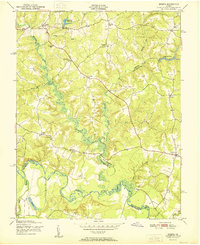 1951 Sparta1951 Print · USGSCoastal Virginia in the early fifties shows a landscape of river-bottom swamps and small farm settlements. Genealogists and local historians can trace family locations near Jerusalem Sch, Broaddus Mill Pond, and the rural crossroads of Sparta.2 unique versions available
 - 1951 Map of Beulahville
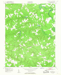 1951 Beulahville1951 Print · USGSKing William County in the early fifties shows a rural Tidewater landscape shaped by its winding creeks and small crossroads. Researchers can trace historic mill sites like Herring Creek Mill and local centers such as Pollards Corner and Beulahville.
 - 1951 Map of Cauthornville
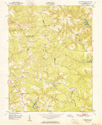 1951 Cauthornville1951 Print · USGSMid-century rural Virginia life is preserved here at the intersection of three counties just after the war. Genealogists and historians can trace the foundations of local society through landmarks like Indian Neck Ch, Cauthornville, and the King and Queen Training Sch.
Showing maps 1-25 of 122
Frequently asked questions
- What are the different types of historical maps available for King and Queen County?
- What is the oldest map of King and Queen County?
- Where can I purchase historical maps of King and Queen County for my home or office?
- Where can I download high-res historical maps of King and Queen County?
- Are there historical topographic maps available for King and Queen County?
- Is there historical aerial imagery available for King and Queen County?
- Where are historical maps of King and Queen County sourced from?