1960s Maps of King and Queen County, Virginia
Explore 15 historic maps of King and Queen County from the 1960s. These maps offer a rare glimpse into what life looked like during the 1960s — showing old roads, neighborhoods, homes, and landmarks that have changed or disappeared over time.
Whether you're researching your family's past, planning a metal detecting trip, or studying how King and Queen County's landscape evolved across the 1960s, these high-resolution maps are a powerful tool for exploring the history of this region.
- Focus on a specific era: All maps on this page are from the 1960s, giving you a focused view of this time period.
- See what’s changed: Compare century-old streets, trails, and buildings to today's modern landscape using overlays and satellite layers.
- Research with precision: Use these maps for genealogy, historical research, land use analysis, or educational projects.
- View, download, or print: Maps are fully viewable online in high resolution, and can be downloaded or printed for your own records.
Start exploring King and Queen County's history through authentic maps from the 1960s. This is your window into the past.
King and Queen County, VA maps
(15)- 1964 Map of Richmond
 1964 Richmond1964 Print · USGSCoastal and central Virginia are mapped during the mid-twentieth century, showing the critical intersection of rail, river, and military life. Genealogists can trace family roots through rural county seats like Amelia or find vanished coastal neighborhoods near Phoebus and Hilton Village.
 - 1965 Map of Shacklefords, 1966 Print
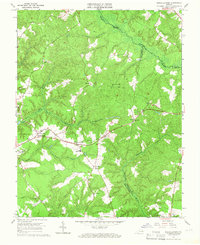 1965 Shacklefords1966 Print · USGSKing and Queen County at the mid-sixties transition is characterized by its deep creek valleys and crossroads communities. Genealogists and local historians can trace legacy sites like York Academy, Hockley Cem, and the historic Poroporone Ch near Shacklefords.4 unique versions available
 - 1965 Map of Gressitt, 1966 Print
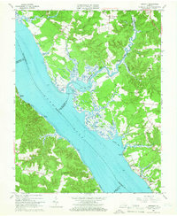 1965 Gressitt1966 Print · USGSThe Tidewater region of Virginia comes alive in the mid-1960s, showing the complex riverine borders where four counties meet. Genealogists and historians can locate old landings like Croaker Landing and rural centers such as Almondsville and Capahosic.4 unique versions available
 - 1965 Map of Toano, 1966 Print
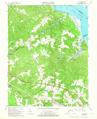 1965 Toano1966 Print · USGSCoastal wetlands and rural rail towns define this portion of the Virginia Peninsula in the mid-sixties. Local researchers can trace old crossroads like Barhamsville and Croaker, find historic country churches such as Mt Olive Ch, or locate Branch Siding on the railroad.4 unique versions available
 - 1965 Map of West Point, 1968 Print
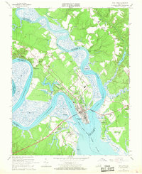 1965 West Point1968 Print · USGSWest Point and the surrounding tidewater riverbanks are shown in detail during the mid-sixties, highlighting the vital rail and water junctions of the Virginia peninsula. Genealogists and local historians can trace landmarks like Sunny Slope Cem, Shanghai, and the terminal tracks of the Southern Railway.3 unique versions available
 - 1968 Map of King And Queen Court House, 1971 Print
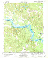 1968 King And Queen Court House1971 Print · USGSKing and Queen County at the end of the 1960s remained a deeply traditional Tidewater landscape defined by its river landings and rural churches. Genealogists and local historians can trace family locations near the Mattaponi Indian Reservation, Stevensville, and historical landmarks like Mattaponi Ch or Mantua Ferry.2 unique versions available
 - 1968 Map of Cauthornville, 1971 Print
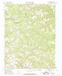 1968 Cauthornville1971 Print · USGSKing and Queen County in the late sixties remained a landscape of quiet crossroads and historic millsites. Genealogists and local historians can trace family locations near Indian Neck, Owenton, and the Rappahannock Indian Ch.2 unique versions available
 - 1968 Map of Sparta, 1971 Print
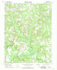 1968 Sparta1971 Print · USGSThe rural borders of Caroline and King and Queen counties are captured here in the late sixties, showing a landscape defined by the Mattaponi River. Genealogists can trace small communities like Sparta and Newtown or locate rural landmarks such as Salem Ch and Byrds Millpond Swamp.2 unique versions available
 - 1968 Map of Truhart, 1971 Print
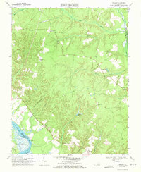 1968 Truhart1971 Print · USGSKing and Queen County in the late sixties remained a landscape defined by tidewater rivers and expansive swamps. Researchers can trace the rural road network connecting Little Plymouth and Dragonville or locate Lower King and Queen Ch and Exol Cem.2 unique versions available
 - 1968 Map of Aylett, 1972 Print
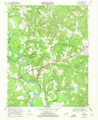 1968 Aylett1972 Print · USGSThe Mattaponi River valley in the late sixties reveals a landscape of tidal landings and crossroads hamlets straddling King William and King and Queen counties. Genealogists can trace historic community centers like St Stephens Church, Aylett Mill, and the riverside Poplar Landing.3 unique versions available
 - 1968 Map of Millers Tavern, 1972 Print
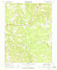 1968 Millers Tavern1972 Print · USGSThe rural Virginia Tidewater comes into focus in the late sixties, showing a landscape of scattered crossroads and winding swamp drainage. Researchers can trace family roots at Millers Tavern and Bruington or locate sites like John Moncure Sch and Wrights Millpond.3 unique versions available
 - 1968 Map of Dunnsville, 1972 Print
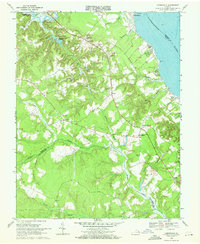 1968 Dunnsville1972 Print · USGSThe Rappahannock riverfront and Dragon Swamp wetlands appear here in the late sixties, capturing the rural character of Essex County. Family historians can trace the locations of the Rappahannock District Sch, Angel Visit Ch, and the landing at Bowlers Wharf.3 unique versions available
 - 1968 Map of Church View, 1972 Print
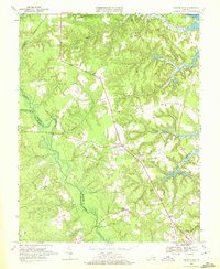 1968 Church View1972 Print · USGSThe Middle Peninsula of Virginia is shown here in the late sixties, a landscape of extensive wetlands and timbered swamps. Researchers can locate family landmarks like Union Shiloh Ch, trace the banks of Dragon Swamp, or explore old crossroads at Jamaica and Church View.5 unique versions available
 - 1968 Map of Beulahville, 1972 Print
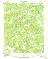 1968 Beulahville1972 Print · USGSKing William County in the late sixties shows a landscape shaped by the Mattaponi River and its many creek systems. Genealogists and local historians can trace family roots through landmarks like St Pauls Ch, Providence Ch, and Dublin Millpond.2 unique versions available
 - 1968 Map of King William, 1972 Print
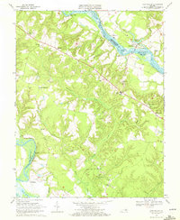 1968 King William1972 Print · USGSThe rural Virginia landscape between the Mattaponi and Pamunkey rivers comes alive in the late sixties. Genealogists and historians can trace long-standing community centers like King William or find riverfront landmarks including Piping Tree Ferry and Roanes Wharf.3 unique versions available
End of results
Showing maps 1-15 of 15
Frequently asked questions
- What are the different types of historical maps available for King and Queen County?
- What is the oldest map of King and Queen County?
- Where can I purchase historical maps of King and Queen County for my home or office?
- Where can I download high-res historical maps of King and Queen County?
- Are there historical topographic maps available for King and Queen County?
- Is there historical aerial imagery available for King and Queen County?
- Where are historical maps of King and Queen County sourced from?