
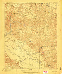
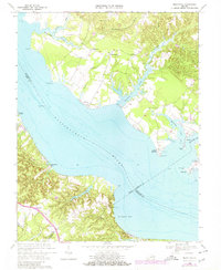
1964 Map of Richmond
USGS Topo · Published 1964About this map
The confluence of the James River and the Appomattox River anchors this regional study, which depicts the tidewater and piedmont regions of Virginia as they appeared in the mid-20th century. Major urban corridors link Richmond to Petersburg and Hopewell, while a dense network of secondary roads connects rural county seats like Amelia, Goochland, and King William. The map captures a significant military landscape during the post-war era, detailing sprawling installations such as Camp Pickett, Fort Eustis, and the historic coastal defenses at Fort Monroe.
Find a feature on this map
315 named features on this map. Tap any name to fly to it.
Don’t see what you’re looking for? This feature index may not catch every label — zoom into the map to look around manually.
Map Details
Editions of this 1964 Richmond Map
This is the sole edition of this map. No revisions or reprints were ever made.
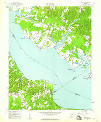
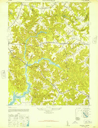
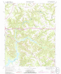
Historical Maps of Richmond Through Time
14 maps found

1917 Morattico
Richmond County, VA
1918 Morattico
Richmond County, VA

1926 Morattico
Richmond County, VA

1943 Richmond
Richmond County, VA
1944 Morattico
Richmond County, VA
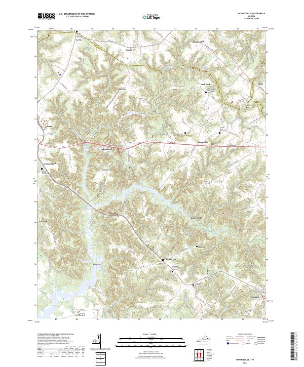
1947 Haynesville
Richmond County, VA

1949 Richmond
Richmond County, VA

1959 Richmond
Richmond County, VA
1964 Richmond
Richmond County, VA
1968 Haynesville
Richmond County, VA
1968 Morattico
Richmond County, VA

1973 Richmond
Richmond County, VA
2022 Haynesville
Richmond County, VA
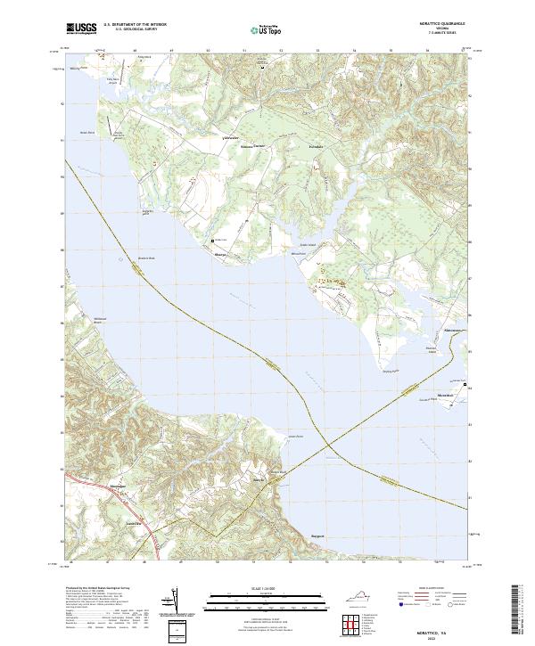
2022 Morattico
Richmond County, VA