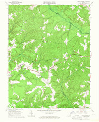
1965 Map of Shacklefords
USGS Topo · Published 1966About this map
The tidal headwaters and wetland corridors of the Middle Peninsula define this mid-1960s landscape, where Dragon Swamp and the Poropotank River form natural boundaries between King and Queen, Gloucester, and Middlesex counties. The map captures a primarily rural crossroads economy centered on small settlements like Shacklefords and Cologne. The cultural footprint of the era is evident in the numerous country churches and educational institutions, most notably York Academy and Poroporone Ch.
Find a feature on this map
24 named features on this map. Tap any name to fly to it.
Don’t see what you’re looking for? This feature index may not catch every label — zoom into the map to look around manually.
Map Details
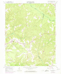
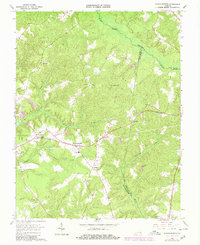
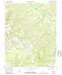
Editions of this 1965 Shacklefords Map
4 editions found
Other maps of this area

1906 · Williamsburg
USGS Topo · 1:62,500

1917 · Urbanna
USGS Topo · 1:62,500

1917 · Toano
USGS Topo · 1:62,500

1918 · Toano
USGS Topo · 1:62,500

1919 · New Kent
USGS Topo · 1:62,500

1943 · Richmond
USGS Topo · 1:250,000
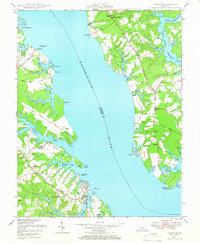
1946 · Urbanna
USGS Topo · 1:24,000
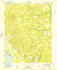
1949 · Truhart
USGS Topo · 1:24,000
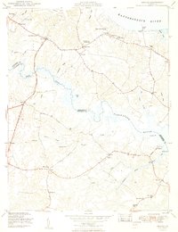
1949 · Saluda
USGS Topo · 1:24,000

1949 · Shacklefords
USGS Topo · 1:24,000