Loading...
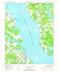
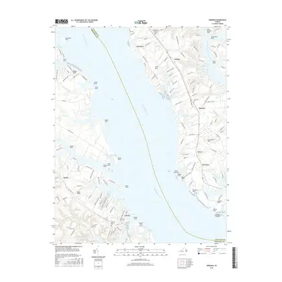
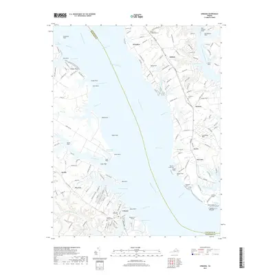
Loading map...1946 Map of Urbanna
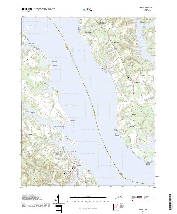
USGS Topo · Published 1966About this map
The Rappahannock River divides this mid-century coastal landscape, separating the communities of Urbanna and Remlik in Middlesex County from the Lancaster side. The map documents a maritime economy in transition, noting infrastructure such as Remlik Wharf and the Waterview Wharf (Ruins). Settlement patterns are concentrated along the intricate creek systems, including Urbanna Creek and Lagrange Creek, where historic estates like Corbin Hall overlook the water.
Find a feature on this map
61 named features on this map. Tap any name to fly to it.
Don’t see what you’re looking for? This feature index may not catch every label — zoom into the map to look around manually.
Map Details
Date Portrayed1946
Date Published1966
PublisherU.S. Geological Survey
Map TypeTopographic
Scale1:24,000
Physical Dimensions22.1 x 26.9 inches
Editions of this 1946 Urbanna Map
This is the sole edition of this map. No revisions or reprints were ever made.
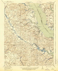
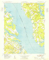
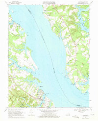
Historical Maps of Urbanna Through Time
9 maps found
Featured Locations
Source Details
SourceU.S. Geological Survey
CopyrightPublic Domain